Lower Cumberworth in the Domesday Book (1086)
Lower Cumberworth is named in the Domesday Book, compiled by Norman commissioners in 1086, entered under the hundred of Agbrigg in Yorkshire. The survey assessed Lower Cumberworth at 7 carucates of taxable land.
At the time of the survey, Lower Cumberworth supported a recorded population of 9 villagers, 20 smallholders, 2 slaves, working 16 ploughs between them.
By 1086 Lower Cumberworth was worth 7.5 shillings, up from 6.5 shillings before the Conquest – in contrast to many Yorkshire neighbours whose valuations collapsed.
The survey lists 4 manors at Lower Cumberworth under different lords. Splitting a single settlement between multiple tenants was common across the North – Saxon estates broken up and handed to William’s followers after 1066.
Other Settlements in Agbrigg
- Ackton
- Almondbury
- Austonley
- Bradley
- Cartworth
- Crigglestone
- Crofton
- Dalton
- Emley
- Farnley [Tyas]
- Flockton
- Fulstone
- Golcar
- Hepworth
The Meaning of the Name
The name Lower Cumberworth is of Anglo-Saxon origin. Its final element derives from the Old English word worð, an enclosure or homestead. The first element is most likely a personal name or an early descriptive term, now difficult to recover with certainty. Taken together the name probably meant something close to ‘a enclosure’.
Remarkably, the name has changed little since 1086, when the Domesday scribes wrote it as Lower Cumberworth.
Listed Buildings Near Lower Cumberworth
Historic England records 17 listed buildings within about a mile of Lower Cumberworth. Listing protects structures of special architectural or historic interest, graded I (exceptional), II* (particularly important) and II.
Grade II
- Lane Hackings Farmhouse - 0.03 km
- Withywood Hall - 0.24 km
- 4 AND 6, LOW FOLD (See details for further address information) - 0.3 km
- Braggs Farmhouse - 0.39 km
- Gilthwaites Farmhouse - 0.58 km
- Former Weaving Shop 10 Yards (Approximately) to South West of Gilthwaites Farmhouse - 0.58 km
- Main Barn to Gilthwaites Farm (To North East of Farmhouse) - 0.58 km
- Denby Dale Wesleyan Methodist Church - 0.87 km
- Church of St Aidan - 1.03 km
- Denby Dale Railway Viaduct - 1.08 km
- Milepost Opposite no 268A - 1.12 km
- 3 Storey Mill Building at Hartcliffe Mills Immediately East Reservoir - 1.17 km
- Lane Side House to East of Group - 1.19 km
- Milestone Approximately 300 Yards East of Junction With Barnsley - 1.2 km
- 1, Wood Street - 1.22 km
- 5, Commercial Road - 1.27 km
- Central Methodist Church - 1.29 km
Lower Cumberworth Today
Today Lower Cumberworth lies within the administrative area of Denby Dale.
Read more about modern Lower Cumberworth on Wikipedia .
Nearby Domesday Settlements
Other places recorded in the 1086 survey within a few miles:
- Skelmanthorpe - 1.4 km NE
- Upper Cumberworth - 1.4 km SW
- Lower and Upper Denby - 2.0 km S
- Shelley - 2.8 km NW
- Shepley - 3.0 km W
- Ingbirchworth - 4.0 km S
Heritage Around [Lower] Cumberworth
Photographs of churches, listed buildings and monuments in the vicinity, contributed by volunteers to the Geograph project and reused here under a Creative Commons licence.
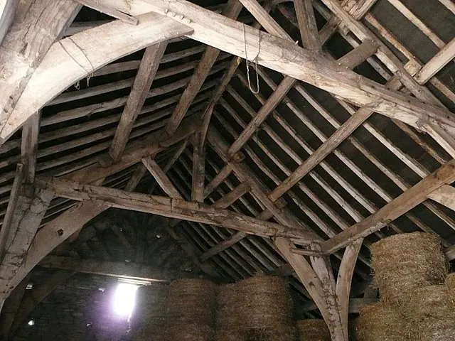
© Wendy North · Geograph · CC BY-SA 2.0
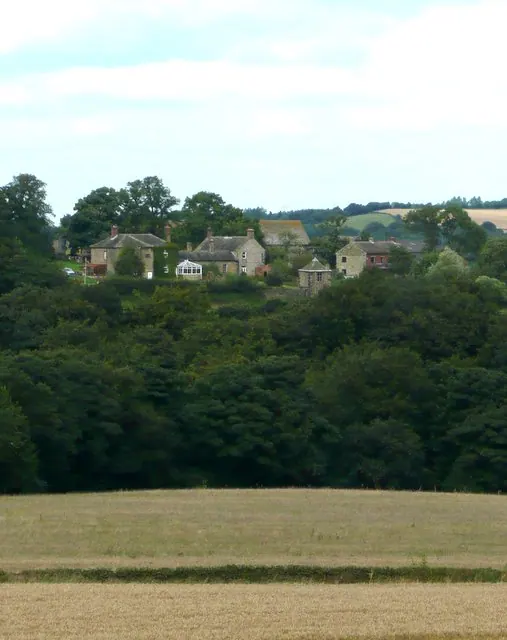
© Wendy North · Geograph · CC BY-SA 2.0
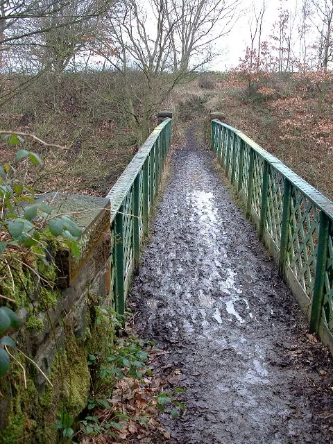
© Nigel Homer · Geograph · CC BY-SA 2.0
Images © their respective photographers, licensed under CC BY-SA 2.0 and reused here with attribution. Photographs depict listed buildings, churches and monuments near this settlement and may show neighbouring villages.
Data derived from the Open Domesday project (opendomesday.org), based on the Domesday Book dataset compiled by Professor J.J.N. Palmer and team. The Domesday Book (1086) is in the public domain.
Found an inaccuracy? [email protected]