Low Snaygill in the Domesday Book (1086)
Low Snaygill appears in the Domesday Book of 1086, entered under the hundred of Craven in Yorkshire.
Other Settlements in Craven
- Addingham
- Airton
- Anley
- Appletreewick
- Arncliffe
- Arnford
- Barnoldswick
- Bashall [Eaves]
- Battersby [Barn]
- Beamsley
- Birkby [Hall]
- Bogeuurde
- Bolton [Abbey]
- Bolton [by Bowland]
The Meaning of the Name
The name Low Snaygill is of Scandinavian origin. Its final element derives from the Old Norse word gil, a narrow ravine. The first element is most likely a personal name or an early descriptive term, now difficult to recover with certainty. Taken together the name probably meant something close to ‘a ravine’.
Names of this type are a fingerprint of Scandinavian settlement: they cluster across the old Danelaw, where Norse-speaking settlers renamed or founded villages from the late 9th century onward.
Remarkably, the name has changed little since 1086, when the Domesday scribes wrote it as Low Snaygill.
Listed Buildings Near Low Snaygill
Historic England records 7 listed buildings within about a mile of Low Snaygill. Listing protects structures of special architectural or historic interest, graded I (exceptional), II* (particularly important) and II.
Grade II
- Cragg House - 0.67 km
- Moor Cottage - 0.72 km
- Aire View Farmhouse - 0.81 km
- Old Hall Farmhouse - 0.89 km
- Aisled Barn Near Far Fold Farm at Grid Ref Se006494 - 0.94 km
- Old Corn Mill - 1.12 km
- Cottage Attached to Ghyll Farmhouse - 1.26 km
Scheduled Monuments Near Low Snaygill
Scheduled monuments are nationally important archaeological sites given legal protection. 9 lie within roughly a mile of Low Snaygill:
- Carved rock on bank at side of track opposite Garth House, 60m south west of Snaygill Farm - 0.32 km
- Cup and ring marked rock in wall at High Snaygill 80m east of High Laithe - 0.45 km
- Two carved rocks in field 130m north east of Cawder Hall Farm, Horse Close Hill - 0.95 km
- Rock with at least one cup mark 310m east of Cawder Hall Farm - 0.96 km
- Subcircular enclosed settlement on Horse Close Hill 250m north of Horse Close Farm - 1.0 km
- Rock with at least 15 cups 240m south of Great Wood Laithe, Horse Close Hill - 1.08 km
- Rock with one cup at the base of a wall, 250m NNE of Cawder Hall Farm, Horse Close Hill - 1.09 km
- Rock with one cup in east end of Great Wood Plantation, 375m NNE of Cawder Hall Farm, Horse Close Hill - 1.2 km
- Rock with one cup in field south east of Great Wood Plantation, 450m north east of Cawder Hall Farm, Horse Close Hill - 1.24 km
Nearby Domesday Settlements
Other places recorded in the 1086 survey within a few miles:
- High and Low Bradley - 1.4 km SE
- Carleton - 2.0 km W
- Skipton - 2.2 km NW
- Farnhill - 3.2 km S
- Cononley - 3.2 km S
- High and Low Skibeden - 3.6 km NE
Heritage Around [Low] Snaygill
Photographs of churches, listed buildings and monuments in the vicinity, contributed by volunteers to the Geograph project and reused here under a Creative Commons licence.
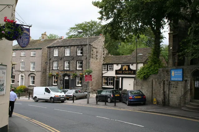
© Dr Neil Clifton · Geograph · CC BY-SA 2.0
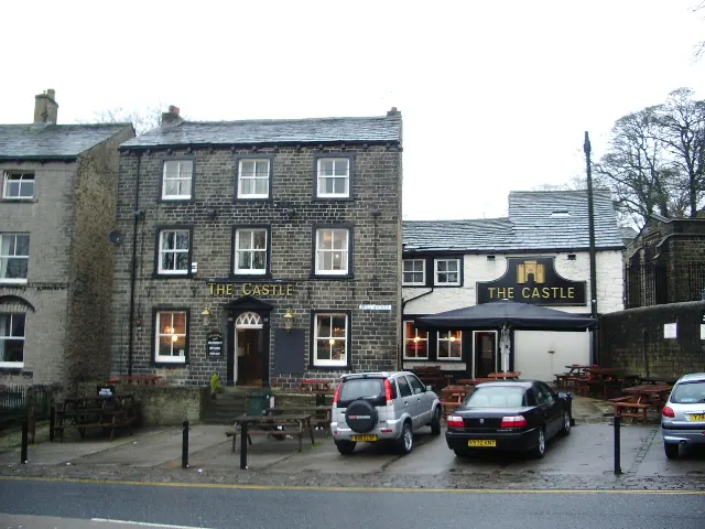
© Alexander P Kapp · Geograph · CC BY-SA 2.0
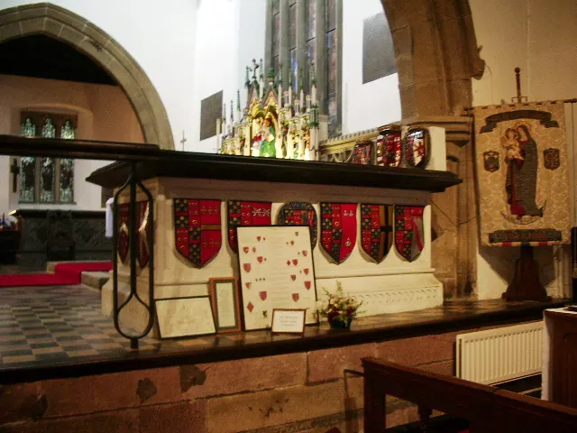
© Alexander P Kapp · Geograph · CC BY-SA 2.0
Images © their respective photographers, licensed under CC BY-SA 2.0 and reused here with attribution. Photographs depict listed buildings, churches and monuments near this settlement and may show neighbouring villages.
Data derived from the Open Domesday project (opendomesday.org), based on the Domesday Book dataset compiled by Professor J.J.N. Palmer and team. The Domesday Book (1086) is in the public domain.
Found an inaccuracy? [email protected]