Low Hail in the Domesday Book (1086)
Low Hail appears in the Domesday Book of 1086, entered under the hundred of Land of Count Alan in Yorkshire.
Other Settlements in Land of Count Alan
- Achebi
- Agglethorpe
- Ainderby [Mires]
- Ainderby [Quernhow]
- Aiskew
- Aldbrough
- Allerthorpe [Hall]
- Ascam
- Ascham
- Asebi
- Aske [Hall]
- Askrigg
- Aysgarth
- Baldersby
The Meaning of the Name
The origin of the name Low Hail is not securely established from its modern form alone; like many settlement names in the North it likely combines an Old English or Old Norse personal name with a landscape term.
Remarkably, the name has changed little since 1086, when the Domesday scribes wrote it as Low Hail.
Listed Buildings Near Low Hail
Historic England records 35 listed buildings within about a mile of Low Hail. Listing protects structures of special architectural or historic interest, graded I (exceptional), II* (particularly important) and II.
Grade II*
- The Old Hall - 0.63 km
Grade II
- Stable and Granary Approximately 7 Metres West of Low Hail Farmhouse - 0.35 km
- Low Hail Farmhouse - 0.36 km
- Hurworth Hall West the Old Rectory - 0.63 km
- 51, the Green - 0.64 km
- Colling Chest Tomb 3 Metres South of Church of All Saints - 0.68 km
- The Old Parsonage - 0.68 km
- Emerson Table Tomb 3 Metres West of Church of All Saints - 0.68 km
- Hurworth and Neasham War Memorial - 0.68 km
- Church of All Saints - 0.69 km
- Gate Piers and Forecourt Walls to Number 38 - 0.7 km
- Red House - 0.7 km
- Font Bowl and Stem 2 Metres North of Church of All Saints - 0.7 km
- Rose Cottage - 0.7 km
- 34 and 35, the Green - 0.7 km
- Beech Cottage - 0.7 km
- 41, the Green - 0.71 km
- Eden House - 0.71 km
- 42, the Green - 0.71 km
- Greenwells and the Surgery - 0.71 km
- Bay Horse Cottage Bay Horse Public House - 0.71 km
- Outbuilding on Left Return of Number 4 (The Old House) - 0.72 km
- Greenways Ivy House - 0.72 km
- Hurworth House Boys’ Preparatory School - 0.72 km
…and 11 more listed structures in the area.
Scheduled Monuments Near Low Hail
Scheduled monuments are nationally important archaeological sites given legal protection. 1 lies within roughly a mile of Low Hail:
Nearby Domesday Settlements
Other places recorded in the 1086 survey within a few miles:
Heritage Around [Low] Hail
Photographs of churches, listed buildings and monuments in the vicinity, contributed by volunteers to the Geograph project and reused here under a Creative Commons licence.
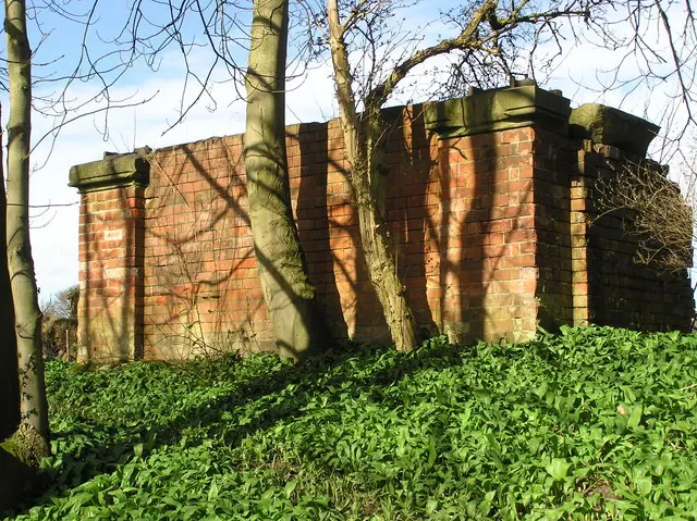
© Hugh Mortimer · Geograph · CC BY-SA 2.0
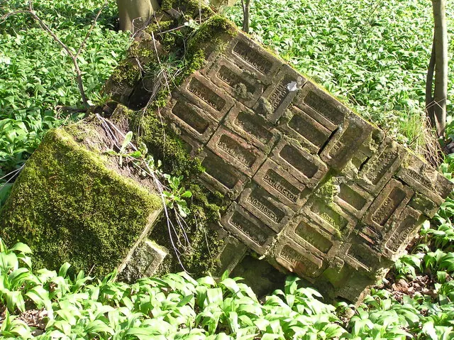
© Hugh Mortimer · Geograph · CC BY-SA 2.0
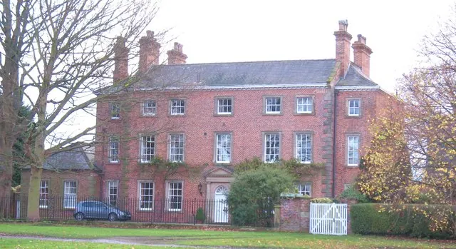
© Gordon Hatton · Geograph · CC BY-SA 2.0
Images © their respective photographers, licensed under CC BY-SA 2.0 and reused here with attribution. Photographs depict listed buildings, churches and monuments near this settlement and may show neighbouring villages.
Location
54.4798°N, -1.5292°W · Land of Count Alan hundred, Yorkshire
View larger map on OpenStreetMap →Data derived from the Open Domesday project (opendomesday.org), based on the Domesday Book dataset compiled by Professor J.J.N. Palmer and team. The Domesday Book (1086) is in the public domain.
Found an inaccuracy? [email protected]