Low Dalby in the Domesday Book (1086)
Low Dalby appears in the Domesday Book of 1086, entered under the hundred of Dic in Yorkshire. The survey assessed Low Dalby at 5 carucates of taxable land.
At the time of the survey, Low Dalby supported a recorded population of 3 villagers, 14 smallholders, 8 slaves, working 6 ploughs between them.
The survey records Low Dalby’s value at 4.5 shillings in 1086. No pre-Conquest figure survives – not unusual in the North, where records were disrupted by the Harrying and by the patchy coverage of the survey.
Resources Recorded at Low Dalby (1086)
- Meadow: 3 acres
- Woodland: 0.5 league * 3 furlongs mixed measures
Other Settlements in Dic
- Aislaby
- Allerston
- Appleton [le Moors]
- Aschelesmersc
- Aschilesmares
- Barton [le Street]
- Baschebi
- Baschesbi
- Brompton
- Burniston
- Burton [Dale]
- Cawthorn
- Cayton
- Chigogemers
The Meaning of the Name
The name Low Dalby is of Scandinavian origin. Its final element derives from the Old Norse word bý, a farmstead or village. The first element is most likely a personal name or an early descriptive term, now difficult to recover with certainty. Taken together the name probably meant something close to ‘a farmstead’.
Names of this type are a fingerprint of Scandinavian settlement: they cluster across the old Danelaw, where Norse-speaking settlers renamed or founded villages from the late 9th century onward.
Remarkably, the name has changed little since 1086, when the Domesday scribes wrote it as Low Dalby.
Scheduled Monuments Near Low Dalby
Scheduled monuments are nationally important archaeological sites given legal protection. 6 lie within roughly a mile of Low Dalby:
- Round barrow 500m west of Low Dalby - 0.58 km
- Rabbit type on Sneverdale Rigg, 875m north east of Low Dalby House - 0.87 km
- Cross dyke centred 480m south of Fox and Rabbit Farm - 1.23 km
- Warrening enclosure on Flainsey Rigg, 1.45km east of Upper Dalby Wood - 1.51 km
- Part of a warrening enclosure 470m south east of High Rigg Farm - 1.52 km
- Part of a cross dyke with associated warrening features, 850m south east of High Rigg Farm - 1.58 km
Nearby Domesday Settlements
Other places recorded in the 1086 survey within a few miles:
- Farmanby - 2.0 km S
- Kingthorpe House - 2.8 km SW
- High Blandsby - 3.0 km W
- Ellerburn - 3.2 km S
- Lockton - 3.2 km N
- Levisham - 3.6 km NW
Heritage Around [Low] Dalby
Photographs of churches, listed buildings and monuments in the vicinity, contributed by volunteers to the Geograph project and reused here under a Creative Commons licence.
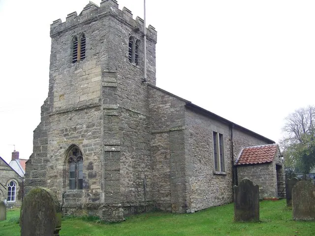
© Maigheach-gheal · Geograph · CC BY-SA 2.0
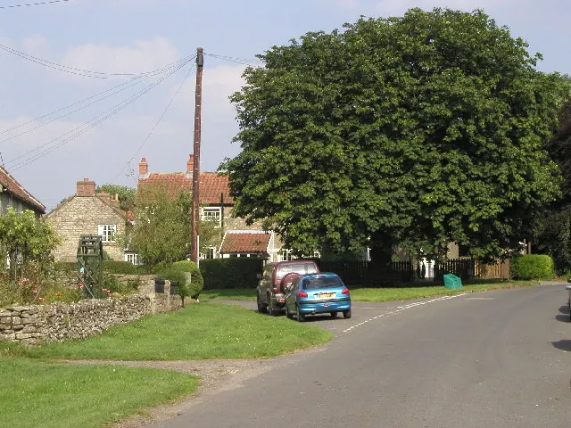
© Andy Beecroft · Geograph · CC BY-SA 2.0
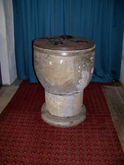
© Maigheach-gheal · Geograph · CC BY-SA 2.0
Images © their respective photographers, licensed under CC BY-SA 2.0 and reused here with attribution. Photographs depict listed buildings, churches and monuments near this settlement and may show neighbouring villages.
Data derived from the Open Domesday project (opendomesday.org), based on the Domesday Book dataset compiled by Professor J.J.N. Palmer and team. The Domesday Book (1086) is in the public domain.
Found an inaccuracy? [email protected]