Loversall in the Domesday Book (1086)
Loversall appears in the Domesday Book of 1086, entered under the hundred of Strafforth in Yorkshire. The survey assessed Loversall at 20 carucates of taxable land.
At the time of the survey, Loversall supported a recorded population of 10 villagers, 6 smallholders, 5 slaves, working 7 ploughs between them.
By 1086 Loversall was worth 8 shillings, up from 7 shillings before the Conquest – one of the few settlements in the area to hold its value through the upheaval.
The survey lists 2 manors at Loversall under different lords. Splitting a single settlement between multiple tenants was common across the North – Saxon estates broken up and handed to William’s followers after 1066.
Resources Recorded at Loversall (1086)
- Mills: 1 mill (valued at 1 shilling)
- Woodland: 5 None
Other Settlements in Strafforth
- Adwick [le Street]
- Adwick [upon Dearne]
- Armthorpe
- Aston
- Attercliffe
- Auckley
- Aughton [Hall]
- Austerfield
- Balby
- Barnbrough
- Barnby [Dun]
- Bentley
- Bilham [House]
- Billingley
The Meaning of the Name
The origin of the name Loversall is not securely established from its modern form alone; like many settlement names in the North it likely combines an Old English or Old Norse personal name with a landscape term.
Remarkably, the name has changed little since 1086, when the Domesday scribes wrote it as Loversall.
Scheduled Monuments Near Loversall
Scheduled monuments are nationally important archaeological sites given legal protection. 3 lie within roughly a mile of Loversall:
- Round barrow 1000m ESE of High Ellermire Farm - 0.11 km
- Round barrow 550m east of Cam House - 0.53 km
- Round barrow 900m NNE of Oak House - 0.58 km
Loversall Today
Today Loversall lies within the administrative area of Hambleton, and the settlement recorded a population of 313 at the 2021 census. Nine and a half centuries separate that figure from the small rural community the Domesday survey recorded here in 1086.
Read more about modern Bilsdale Midcable on Wikipedia .
Nearby Domesday Settlements
Other places recorded in the 1086 survey within a few miles:
- Wadworth - 1.4 km SW
- Stainton - 5.4 km S
- Dromonby Hall - 8.1 km NW
- Camisedale - 8.1 km N
- Ingleby Greenhow - 8.1 km N
- Little Broughton - 8.1 km N
Heritage Around Loversall
Photographs of churches, listed buildings and monuments in the vicinity, contributed by volunteers to the Geograph project and reused here under a Creative Commons licence.
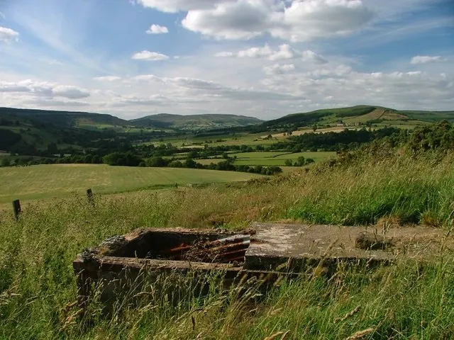
© Mick Garratt · Geograph · CC BY-SA 2.0
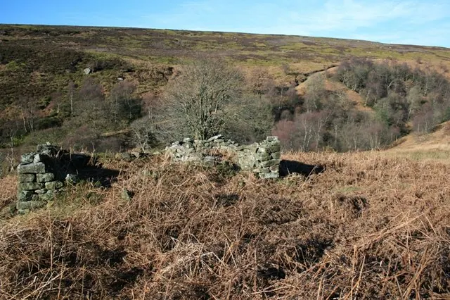
© Mick Garratt · Geograph · CC BY-SA 2.0
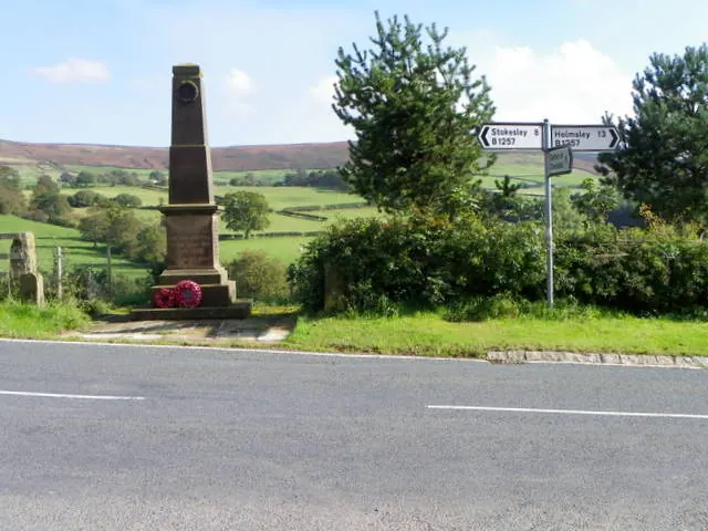
© Maigheach-gheal · Geograph · CC BY-SA 2.0
Images © their respective photographers, licensed under CC BY-SA 2.0 and reused here with attribution. Photographs depict listed buildings, churches and monuments near this settlement and may show neighbouring villages.
Data derived from the Open Domesday project (opendomesday.org), based on the Domesday Book dataset compiled by Professor J.J.N. Palmer and team. The Domesday Book (1086) is in the public domain.
Found an inaccuracy? [email protected]