Longfield in the Domesday Book (1086)
The 1086 Domesday survey records the settlement of Longfield, entered under the hundred of Morley in Yorkshire.
Other Settlements in Morley
- Allerton
- Armley
- Batley
- Beeston
- Bolton
- Bowling
- Bradford
- Bramley
- Calverley
- Carlton
- Chellow [Grange]
- Clayton
- Clifton
- Cruttonstall
The Meaning of the Name
The name Longfield is of Anglo-Saxon origin. Its final element derives from the Old English word feld, open country, while the first element appears to represent the long. Taken together the name probably meant something close to ’the long open land’.
Remarkably, the name has changed little since 1086, when the Domesday scribes wrote it as Longfield.
Listed Buildings Near Longfield
Historic England records 88 listed buildings within about a mile of Longfield. Listing protects structures of special architectural or historic interest, graded I (exceptional), II* (particularly important) and II.
Grade I
- The Unitarian Church - 0.39 km
Grade II*
- Todmorden Hall - 0.62 km
Grade II
- Swineshead Swineshead Cottage - 0.27 km
- Laneside House Millbrook House Millbrook House and Attached Laneside House and Waterside House West and South Waterside House - 0.3 km
- 195-209, Rochdale Road - 0.35 km
- Lower Longfield Farmhouse - 0.37 km
- Rochdale Canal Lock 20 Wadsworth Mill Lock - 0.38 km
- Middle Longfield Farmhouse and Attached Barn - 0.41 km
- Dawson Weir House - 0.43 km
- Canal Bridge - 0.43 km
- Unitarian Lodge - 0.44 km
- Rochdale Canal Lock 21 Shade Lock - 0.47 km
- Former Unitarian Chapel and Sunday School - 0.48 km
- The Golden Lion Hotel - 0.5 km
- Rochdale Canal Lock 19 Todmorden Lock - 0.54 km
- Rochdale Canal Milestone on Canal Towpath to North of Todmorden Lock Number 19 at Ngr Sd 935240 - 0.55 km
- Manchester and Leeds Railway Gauxholme Railway Bridge Over the Rochdale Canal - 0.56 km
- Numbers 7 and 8 Higher Langfield Cottages and Attached Barn - 0.56 km
- 29, Rochdale Road - 0.56 km
- Lodge and Attached Entrance Piers to Dobroyd Castle - 0.57 km
- Small Factory/warehouse 3 Metres to South of Rear of Number 2 - 0.59 km
- 5 and 6, Higher Longfield Cottages and Higher Longfield Farmhouse - 0.59 km
- Rochdale Canal Lock 22 Gauxholme Lowest Lock - 0.61 km
- 13, 15 and 17 (Royal George Hotel) Rochdale Road - 0.62 km
…and 64 more listed structures in the area.
Nearby Domesday Settlements
Other places recorded in the 1086 survey within a few miles:
- Stansfield - 1.4 km NE
- Cruttonstall - 5.8 km NE
- Wadsworth - 7.8 km NE
- Midgley - 9.5 km E
- Rochdale - 10.8 km S
- Sowerby - 11.0 km E
Heritage Around Longfield
Photographs of churches, listed buildings and monuments in the vicinity, contributed by volunteers to the Geograph project and reused here under a Creative Commons licence.
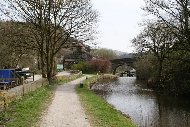
© Dr Neil Clifton · Geograph · CC BY-SA 2.0
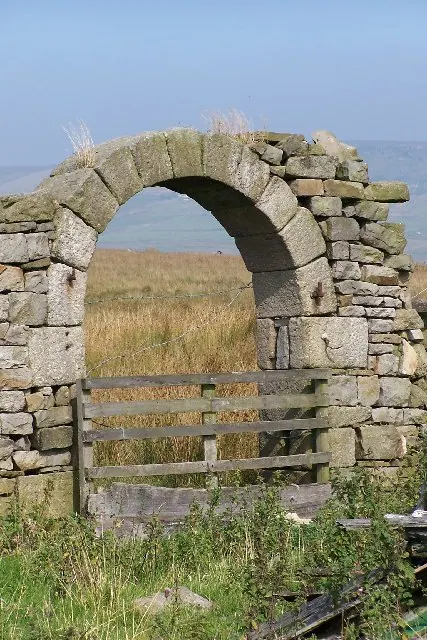
© Phil Berry · Geograph · CC BY-SA 2.0
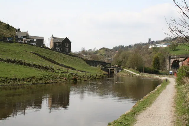
© Dr Neil Clifton · Geograph · CC BY-SA 2.0
Images © their respective photographers, licensed under CC BY-SA 2.0 and reused here with attribution. Photographs depict listed buildings, churches and monuments near this settlement and may show neighbouring villages.
Data derived from the Open Domesday project (opendomesday.org), based on the Domesday Book dataset compiled by Professor J.J.N. Palmer and team. The Domesday Book (1086) is in the public domain.
Found an inaccuracy? [email protected]