Longdendale in the Domesday Book (1086)
The 1086 Domesday survey records the settlement of Longdendale, entered under the hundred of Blackwell in Derbyshire.
Other Settlements in Blackwell
- Abney
- Ashford [-in-the-Water]
- Aston
- Bakewell
- Bamford
- Baslow
- Beeley
- Birchills
- Birchover
- Blackwell
- Bradwell
- Bubnell
- Burley
- Burton
The Meaning of the Name
The name Longdendale is of Scandinavian origin. Its final element derives from the Old Norse word dalr, a valley, while the first element appears to represent the long. Taken together the name probably meant something close to ’the long valley’.
Names of this type are a fingerprint of Scandinavian settlement: they cluster across the old Danelaw, where Norse-speaking settlers renamed or founded villages from the late 9th century onward.
Remarkably, the name has changed little since 1086, when the Domesday scribes wrote it as Longdendale.
Listed Buildings Near Longdendale
Historic England records 3 listed buildings within about a mile of Longdendale. Listing protects structures of special architectural or historic interest, graded I (exceptional), II* (particularly important) and II.
Grade II
- Ebenezer Chapel - 1.04 km
- Lower Cross Farm (Number 107/107A) and Attached Barn - 1.28 km
- Sunday school and boundary wall - 1.29 km
Nearby Domesday Settlements
Other places recorded in the 1086 survey within a few miles:
- Tintwistle - 1.0 km W
- Padfield and Little Padfield - 1.0 km S
- Hadfield - 1.4 km SW
- Hollingworth - 3.2 km W
- Higher and Lower Dinting - 3.2 km S
- Old Glossop - 3.2 km S
Heritage Around Longdendale
Photographs of churches, listed buildings and monuments in the vicinity, contributed by volunteers to the Geograph project and reused here under a Creative Commons licence.
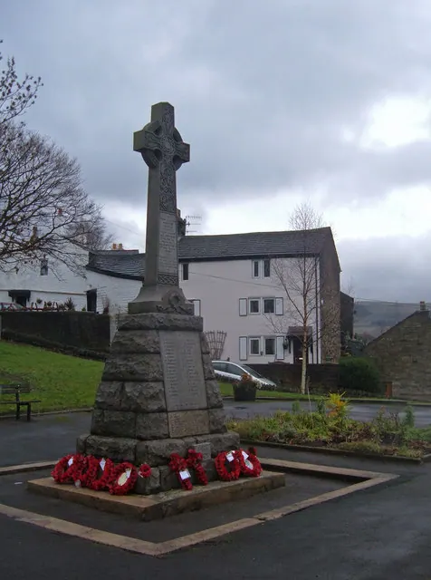
© michael ely · Geograph · CC BY-SA 2.0
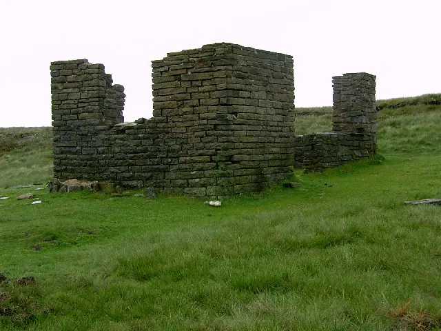
© Stephen Burton · Geograph · CC BY-SA 2.0
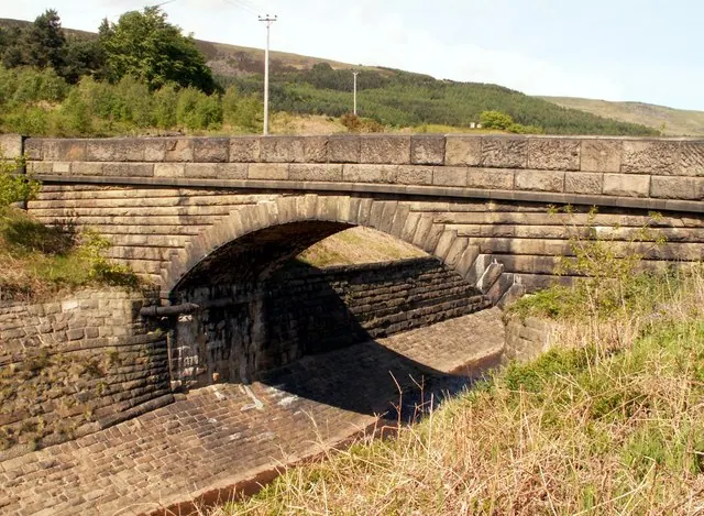
© John Fielding · Geograph · CC BY-SA 2.0
Images © their respective photographers, licensed under CC BY-SA 2.0 and reused here with attribution. Photographs depict listed buildings, churches and monuments near this settlement and may show neighbouring villages.
Data derived from the Open Domesday project (opendomesday.org), based on the Domesday Book dataset compiled by Professor J.J.N. Palmer and team. The Domesday Book (1086) is in the public domain.
Found an inaccuracy? [email protected]