Long Preston in the Domesday Book (1086)
Long Preston appears in the Domesday Book of 1086, entered under the hundred of Craven in Yorkshire.
Other Settlements in Craven
- Addingham
- Airton
- Anley
- Appletreewick
- Arncliffe
- Arnford
- Barnoldswick
- Bashall [Eaves]
- Battersby [Barn]
- Beamsley
- Birkby [Hall]
- Bogeuurde
- Bolton [Abbey]
- Bolton [by Bowland]
The Meaning of the Name
The name Long Preston is of Anglo-Saxon origin. Its final element derives from the Old English word tūn, a farmstead or village. The first element is most likely a personal name or an early descriptive term, now difficult to recover with certainty. Taken together the name probably meant something close to ‘a farmstead’.
Remarkably, the name has changed little since 1086, when the Domesday scribes wrote it as Long Preston.
Listed Buildings Near Long Preston
Historic England records 23 listed buildings within about a mile of Long Preston. Listing protects structures of special architectural or historic interest, graded I (exceptional), II* (particularly important) and II.
Grade I
- Church of St Mary the Virgin - 0.4 km
Grade II
- Howe Cottage and No. 6 Maypole Green - 0.27 km
- Maypole Inn - 0.31 km
- Drinking Fountain - 0.35 km
- Garage - 0.36 km
- Anvil House - 0.38 km
- Glen Royd - 0.38 km
- Nook and Bronte Cottages - 0.4 km
- 36, Main Street - 0.41 km
- Byland Cottage Rivendale Hill Dene - 0.41 km
- Headstone Circa 1.5 Metres South of Hamerton Chapel Church of St Mary the Virgin - 0.42 km
- Stoneshaft Circa 3 Metres South of Porch Church of St Mary the Virgin - 0.42 km
- Table Tomb Circa 15 Metres South of Hamerton Chapel Church of St Mary the Virgin - 0.43 km
- Moorland View - 0.45 km
- 3 and 4, Back Green - 0.45 km
- Ash Lea - 0.51 km
- Guys Villa Barn - 0.53 km
- Townhead House - 0.61 km
- Townhead Farmhouse - 0.63 km
- Milestone - 0.64 km
- Cromwell House - 0.66 km
- New House - 1.06 km
- Milestone - 1.12 km
Long Preston Today
Today Long Preston lies within the administrative area of Craven, and the settlement recorded a population of 737 at the 2021 census. Nine and a half centuries separate that figure from the small rural community the Domesday survey recorded here in 1086.
Read more about modern Long Preston on Wikipedia .
Nearby Domesday Settlements
Other places recorded in the 1086 survey within a few miles:
- Arnford - 2.0 km S
- Little Newton - 2.2 km SE
- Hellifield - 2.8 km SE
- Rathmell - 3.2 km W
- Caretorp - 3.6 km SW
- Wigglesworth - 3.6 km SW
Heritage Around [Long] Preston
Photographs of churches, listed buildings and monuments in the vicinity, contributed by volunteers to the Geograph project and reused here under a Creative Commons licence.
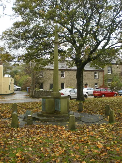
© Alexander P Kapp · Geograph · CC BY-SA 2.0
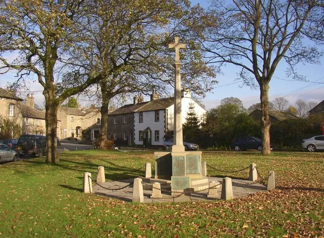
© Humphrey Bolton · Geograph · CC BY-SA 2.0
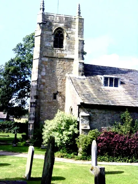
© Roger Templeman · Geograph · CC BY-SA 2.0
Images © their respective photographers, licensed under CC BY-SA 2.0 and reused here with attribution. Photographs depict listed buildings, churches and monuments near this settlement and may show neighbouring villages.
Data derived from the Open Domesday project (opendomesday.org), based on the Domesday Book dataset compiled by Professor J.J.N. Palmer and team. The Domesday Book (1086) is in the public domain.
Found an inaccuracy? [email protected]