Long Eaton in the Domesday Book (1086)
Long Eaton appears in the Domesday Book of 1086, entered under the hundred of Morleystone in Derbyshire.
Other Settlements in Morleystone
- Bradley
- Breadsall
- Breaston
- Cellesdene
- Chaddesden
- Codnor
- Crich
- Denby
- Derby
- Draycott
- Duffield
- Hallam
- Heanor
- Herdebi
The Meaning of the Name
The name Long Eaton is of Anglo-Saxon origin. Its final element derives from the Old English word tūn, a farmstead or village. The first element is most likely a personal name or an early descriptive term, now difficult to recover with certainty. Taken together the name probably meant something close to ‘a farmstead’.
Remarkably, the name has changed little since 1086, when the Domesday scribes wrote it as Long Eaton.
Listed Buildings Near Long Eaton
Historic England records 13 listed buildings within about a mile of Long Eaton. Listing protects structures of special architectural or historic interest, graded I (exceptional), II* (particularly important) and II.
Grade II*
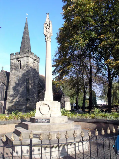
- Church of St Laurence and St James - 0.52 km
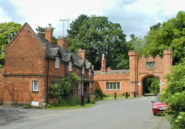
- The Hall - 0.71 km
Grade II
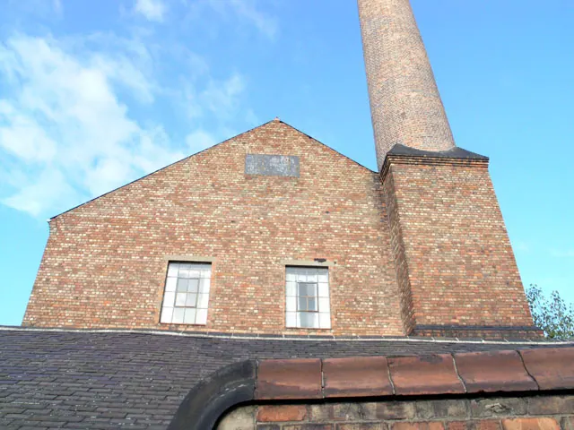
- J and H Lacey Warehouse - 0.31 km
- Halifax Building Society - 0.51 km
- Former Midland Bank - 0.52 km
- War Memorial to 6 Metres South West of St Laurence’s Church - 0.53 km
- 38 and 40, Market Place - 0.56 km
- Carnegie Public Library and adjacent gates - 0.59 km
- Former Long Eaton School - 0.65 km
- Long Eaton Lock - 0.77 km
- West Park Cemetery Chapels - 0.94 km
- Gate Piers and Railings to West Park Cemetery - 0.95 km
- Elim Pentecostal Church and Railings - 1.06 km
Long Eaton Today
Today Long Eaton lies within the administrative area of Erewash, and the settlement recorded a population of 37,760 at recent figures. Nine and a half centuries separate that figure from the small rural community the Domesday survey recorded here in 1086.
Read more about modern Long Eaton on Wikipedia .
Nearby Domesday Settlements
Other places recorded in the 1086 survey within a few miles:
Heritage Around [Long] Eaton
Photographs of churches, listed buildings and monuments in the vicinity, contributed by volunteers to the Geograph project and reused here under a Creative Commons licence.
© David Lally · Geograph · CC BY-SA 2.0
© David Lally · Geograph · CC BY-SA 2.0
© Chris J Dixon · Geograph · CC BY-SA 2.0
Images © their respective photographers, licensed under CC BY-SA 2.0 and reused here with attribution. Photographs depict listed buildings, churches and monuments near this settlement and may show neighbouring villages.
Data derived from the Open Domesday project (opendomesday.org), based on the Domesday Book dataset compiled by Professor J.J.N. Palmer and team. The Domesday Book (1086) is in the public domain.
Found an inaccuracy? [email protected]