Londesborough in the Domesday Book (1086)
Londesborough appears in the Domesday Book of 1086, entered under the hundred of Weighton in Yorkshire. The survey assessed Londesborough at 6.1 carucates of taxable land.
At the time of the survey, Londesborough supported a recorded population of 16 villagers, 2 smallholders, 1 slave, working 4 ploughs between them.
By 1086 Londesborough was worth 10 shillings, up from 6 shillings before the Conquest – one of the few settlements in the area to hold its value through the upheaval.
Resources Recorded at Londesborough (1086)
- Meadow: 8 acres
- Woodland: 3 * 3 leagues
Other Settlements in Weighton
- Cleaving [Grange]
- Easthorpe
- Goodmanham
- Harswell
- Holme [upon Spalding Moor]
- Houghton
- Kipling Cotes
- Sancton
- Shipton[thorpe]
- Torp
- Torpi
- Towthorpe
- [Bishop] Burton
- [Market] Weighton
The Meaning of the Name
The name Londesborough is of Anglo-Saxon origin. Its final element derives from the Old English word burh, a fortified place. The first element is most likely a personal name or an early descriptive term, now difficult to recover with certainty. Taken together the name probably meant something close to ‘a stronghold’.
Remarkably, the name has changed little since 1086, when the Domesday scribes wrote it as Londesborough.
Listed Buildings Near Londesborough
Historic England records 10 listed buildings within about a mile of Londesborough. Listing protects structures of special architectural or historic interest, graded I (exceptional), II* (particularly important) and II.
Grade I
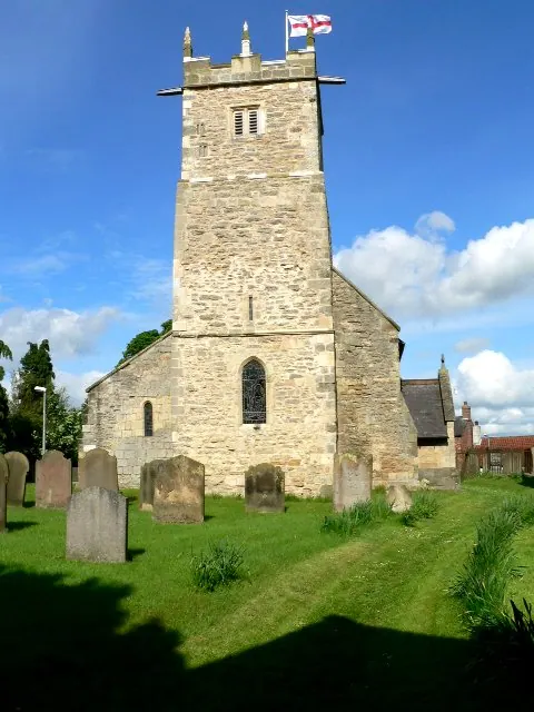
- Gates, Gatepiers, Flanking Walls and Abutments - 0.25 km
- Church of All Saints - 0.27 km
Grade II*
- Gate Piers - 0.31 km
Grade II
- Burlington Row - 0.18 km
- Rectory - 0.2 km
- 1750 - 0.23 km
- Gates and Gateway - 0.28 km
- Stable Court - 0.35 km
- Terrace Wall, Steps, and Associated Urns - 0.38 km
- Garden Walls and Gateway - 0.76 km
Scheduled Monuments Near Londesborough
Scheduled monuments are nationally important archaeological sites given legal protection. 1 lies within roughly a mile of Londesborough:
- Cleaving Hall moated site - 1.46 km
Londesborough Today
Today Londesborough lies within the administrative area of East Riding of Yorkshire, and the settlement recorded a population of 161 at the 2021 census. Nine and a half centuries separate that figure from the small rural community the Domesday survey recorded here in 1086.
Read more about modern Londesborough on Wikipedia .
Nearby Domesday Settlements
Other places recorded in the 1086 survey within a few miles:
- Cleaving Grange - 1.4 km NW
- Easthorpe - 2.0 km E
- Towthorpe - 2.0 km S
- Shiptonthorpe - 2.2 km SW
- Goodmanham - 2.8 km SE
- Nunburnholme - 2.8 km NW
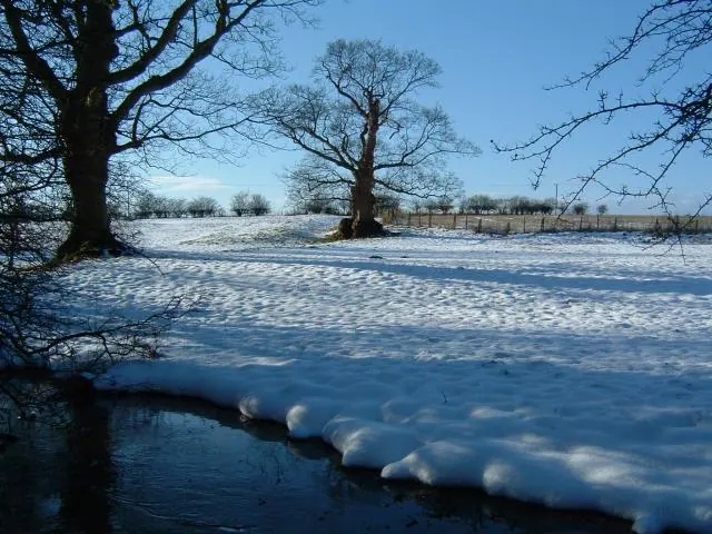
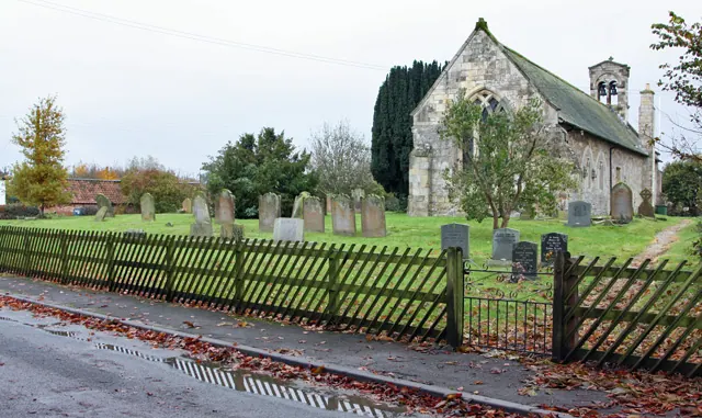
Heritage Around Londesborough
Photographs of churches, listed buildings and monuments in the vicinity, contributed by volunteers to the Geograph project and reused here under a Creative Commons licence.
© Paul Allison · Geograph · CC BY-SA 2.0
© Roger Gilbertson · Geograph · CC BY-SA 2.0
© Peter Church · Geograph · CC BY-SA 2.0
Images © their respective photographers, licensed under CC BY-SA 2.0 and reused here with attribution. Photographs depict listed buildings, churches and monuments near this settlement and may show neighbouring villages.
Data derived from the Open Domesday project (opendomesday.org), based on the Domesday Book dataset compiled by Professor J.J.N. Palmer and team. The Domesday Book (1086) is in the public domain.
Found an inaccuracy? [email protected]