Loftus in the Domesday Book (1086)
Loftus is named in the Domesday Book, compiled by Norman commissioners in 1086, entered under the hundred of Langbaurgh in Yorkshire.
Other Settlements in Langbaurgh
- Acklam
- Airy [Holme]
- Aislaby
- Arnodestorp
- Baldebi
- Barnaby
- Barwick
- Battersby
- Bergolbi
- Berguluesbi
- Blaten [Carr]
- Borrowby
- Breck
- Brotton
The Meaning of the Name
The origin of the name Loftus is not securely established from its modern form alone; like many settlement names in the North it likely combines an Old English or Old Norse personal name with a landscape term.
Remarkably, the name has changed little since 1086, when the Domesday scribes wrote it as Loftus.
Listed Buildings Near Loftus
Historic England records 34 listed buildings within about a mile of Loftus. Listing protects structures of special architectural or historic interest, graded I (exceptional), II* (particularly important) and II.
Grade II
- Loftus Mill and Millhouse With Mill Race Adjoining. - 0.49 km
- Boundary/retaining Wall, Railings and Gatepiers to Front Yard of the Old Zetland School. - 0.51 km
- The Old Zetland School - 0.51 km
- Mill Sluice in Garden of Number 5 - 0.53 km
- Jessemine Cottage - 0.54 km
- Tea Shoppe - 0.63 km
- Boundary Wall, Gatepiers, Gate and Railings to South of No. 19 - 0.64 km
- 21, High Street - 0.64 km
- Stable House - 0.66 km
- Town Hall - 0.67 km
- Former National Westminster Bank - 0.68 km
- Kingdom Hall - 0.69 km
- Church of St Leonard - 0.69 km
- Kilton Mill - 0.69 km
- Blanchland - 0.69 km
- The Angel Inn - 0.7 km
- Golden Lion Hotel - 0.7 km
- Kilton Mill House - 0.71 km
- 32, 33 and 34, High Street - 0.71 km
- Pear Tree Cottage - 0.72 km
- Barclays Bank - 0.73 km
- 36 and 37, High Street - 0.73 km
- Number 38, Area Retaining Wall, Gatepiers and Angle Piers. - 0.73 km
- Boundary Wall Between Kingdom Hall and Dam Street - 0.74 km
…and 10 more listed structures in the area.
Scheduled Monuments Near Loftus
Scheduled monuments are nationally important archaeological sites given legal protection. 1 lies within roughly a mile of Loftus:
Loftus Today
Today Loftus lies within the administrative area of Redcar and Cleveland, and the settlement recorded a population of 7,812 at the 2021 census. Nine and a half centuries separate that figure from the small rural community the Domesday survey recorded here in 1086.
Read more about modern Loftus on Wikipedia .
Nearby Domesday Settlements
Other places recorded in the 1086 survey within a few miles:
- Kilton - 1.0 km W
- Roskelthorpe - 1.4 km SE
- South Loftus - 1.4 km SE
- Kilton Thorpe - 2.2 km SW
- Brotton - 2.2 km NW
- Easington - 3.0 km E
Heritage Around Loftus
Photographs of churches, listed buildings and monuments in the vicinity, contributed by volunteers to the Geograph project and reused here under a Creative Commons licence.
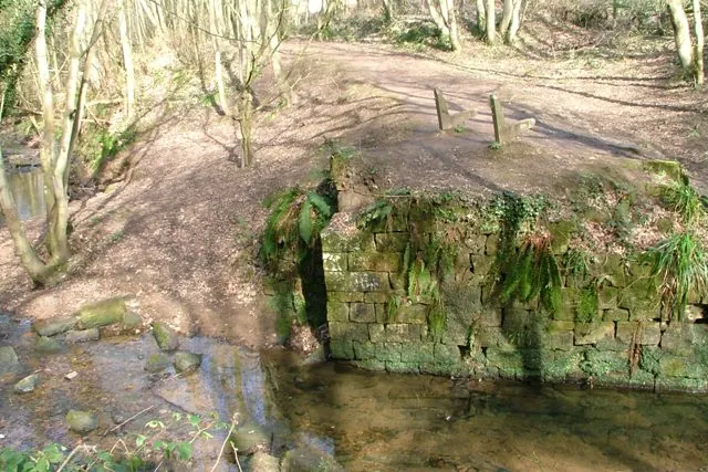
© Mick Garratt · Geograph · CC BY-SA 2.0
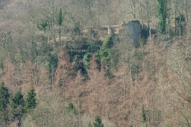
© Mick Garratt · Geograph · CC BY-SA 2.0
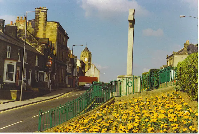
© Colin Smith · Geograph · CC BY-SA 2.0
Images © their respective photographers, licensed under CC BY-SA 2.0 and reused here with attribution. Photographs depict listed buildings, churches and monuments near this settlement and may show neighbouring villages.
Data derived from the Open Domesday project (opendomesday.org), based on the Domesday Book dataset compiled by Professor J.J.N. Palmer and team. The Domesday Book (1086) is in the public domain.
Found an inaccuracy? [email protected]