Lockwood in the Domesday Book (1086)
The 1086 Domesday survey records the settlement of Lockwood, entered under the hundred of Agbrigg in Yorkshire.
Other Settlements in Agbrigg
- Ackton
- Almondbury
- Austonley
- Bradley
- Cartworth
- Crigglestone
- Crofton
- Dalton
- Emley
- Farnley [Tyas]
- Flockton
- Fulstone
- Golcar
- Hepworth
The Meaning of the Name
The origin of the name Lockwood is not securely established from its modern form alone; like many settlement names in the North it likely combines an Old English or Old Norse personal name with a landscape term.
Remarkably, the name has changed little since 1086, when the Domesday scribes wrote it as Lockwood.
Listed Buildings Near Lockwood
Historic England records 154 listed buildings within about a mile of Lockwood. Listing protects structures of special architectural or historic interest, graded I (exceptional), II* (particularly important) and II.
Grade II
- 7 and 8, Dockery - 0.19 km
- 5 and 6, Dockery - 0.2 km
- 4, Dockery - 0.21 km
- 3, Dockery - 0.22 km
- Lockwood Baptist Chapel - 0.22 km
- 16A and 18, Swan Lane - 0.22 km
- 3, Devonshire Street - 0.25 km
- 15 and 17, Swan Lane - 0.25 km
- 188 188A 188B, Lockwood Road - 0.25 km
- 9 and 10, Neale Road - 0.26 km
- Front Block of No 29 Albert Street - 0.27 km
- 2-10, Meltham Road - 0.28 km
- Lockwood and Salford Liberal Club - 0.28 km
- 23, Bridge Street - 0.31 km
- 1, Meltham Road - 0.31 km
- 21, Bridge Street - 0.31 km
- The Green - 0.32 km
- 19, Bridge Street - 0.32 km
- 5 15 and 15A, Bridge Street - 0.33 km
- 7 and 13, Bridge Street - 0.34 km
- 9 11 and 11A, Bridge Street - 0.34 km
- 1, Bridge Street - 0.35 km
- 34-40, Meltham Road - 0.35 km
- Mechanics Institute - 0.36 km
…and 130 more listed structures in the area.
Lockwood Today
Today Lockwood lies within the administrative area of Kirklees.
Read more about modern Lockwood on Wikipedia .
Nearby Domesday Settlements
Other places recorded in the 1086 survey within a few miles:
- Huddersfield - 1.4 km NE
- Quarmby - 2.8 km NW
- Almondbury - 3.0 km E
- Honley - 3.0 km S
- South Crosland - 3.6 km SW
- Lindley - 3.6 km NW
Heritage Around Lockwood
Photographs of churches, listed buildings and monuments in the vicinity, contributed by volunteers to the Geograph project and reused here under a Creative Commons licence.
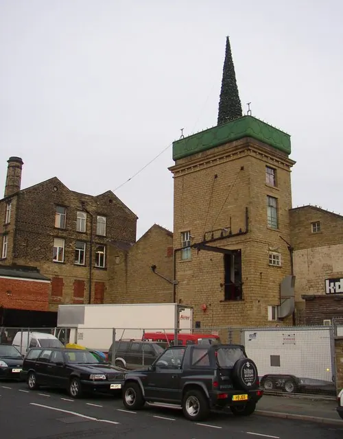
© Humphrey Bolton · Geograph · CC BY-SA 2.0
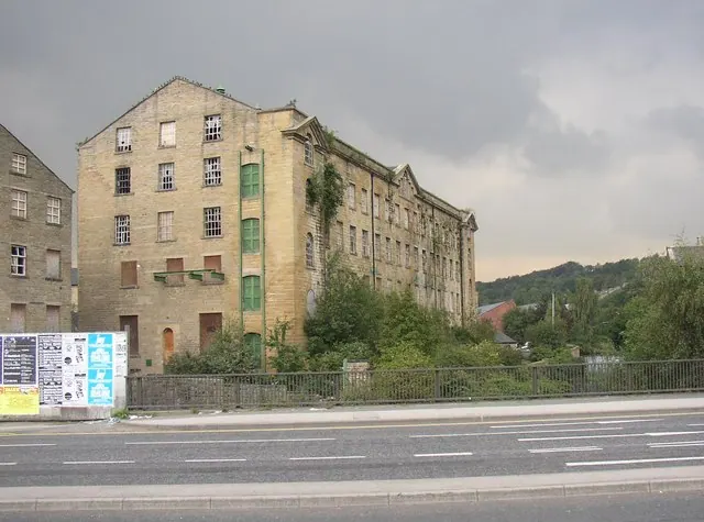
© Humphrey Bolton · Geograph · CC BY-SA 2.0
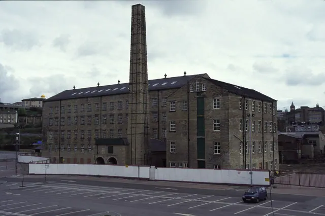
© Chris Allen · Geograph · CC BY-SA 2.0
Images © their respective photographers, licensed under CC BY-SA 2.0 and reused here with attribution. Photographs depict listed buildings, churches and monuments near this settlement and may show neighbouring villages.
Data derived from the Open Domesday project (opendomesday.org), based on the Domesday Book dataset compiled by Professor J.J.N. Palmer and team. The Domesday Book (1086) is in the public domain.
Found an inaccuracy? [email protected]