Liverton in the Domesday Book (1086)
The settlement of Liverton is recorded in William I’s Domesday survey of 1086, entered under the hundred of Langbaurgh in Yorkshire.
Other Settlements in Langbaurgh
- Acklam
- Airy [Holme]
- Aislaby
- Arnodestorp
- Baldebi
- Barnaby
- Barwick
- Battersby
- Bergolbi
- Berguluesbi
- Blaten [Carr]
- Borrowby
- Breck
- Brotton
The Meaning of the Name
The name Liverton is of Anglo-Saxon origin. Its final element derives from the Old English word tūn, a farmstead or village. The first element is most likely a personal name or an early descriptive term, now difficult to recover with certainty. Taken together the name probably meant something close to ‘a farmstead’.
Remarkably, the name has changed little since 1086, when the Domesday scribes wrote it as Liverton.
Listed Buildings Near Liverton
Historic England records 14 listed buildings within about a mile of Liverton. Listing protects structures of special architectural or historic interest, graded I (exceptional), II* (particularly important) and II.
Grade II*
- Church of St Michael - 0.96 km
Grade II
- Drinking Fountain, Circa 9 Metres West of the Waterwheel Inn - 0.46 km
- Rose Cottage, Circa 14 Metres North of Windyridge - 0.49 km
- Shrubberies Cottage and Adjoining Barn - 0.56 km
- Barn, Stable, Wash-house and Byre, South-east of Barton House - 0.6 km
- Tickhill Farm House, Middle Cottage, and Tickhill Cottage, with walls and outbuildings adjoining - 0.63 km
- Barn and Horse Gin, North of Tickhill House - 0.64 km
- Wall, Gates and Gatepiers, North-west of Tickhill House - 0.66 km
- Pinfold, Circa 32 Metres North-east of the Hollins - 0.8 km
- Walled Garden, Circa 40 Metres South-west of Handale Abbey Farmhouse - 0.91 km
- Wall, Cross-base and Grave Cover, West of Handale Abbey Farmhouse - 0.92 km
- Handale Abbey Farmhouse - 0.95 km
- Group of 5 Tombstones to Members of Parkin Family, Circa 7 Metres South of Church of St. Michael - 0.95 km
- Handale Abbey Cottages - 1.11 km
Liverton Today
Today Liverton lies within the administrative area of Loftus, and the settlement recorded a population of 60 at recent figures. Nine and a half centuries separate that figure from the small rural community the Domesday survey recorded here in 1086.
Read more about modern Liverton on Wikipedia .
Nearby Domesday Settlements
Other places recorded in the 1086 survey within a few miles:
- Roskelthorpe - 2.2 km NE
- South Loftus - 2.2 km NE
- Kilton Thorpe - 2.8 km NW
- Loftus - 3.0 km N
- Moorsholm - 3.2 km W
- Little Moorsholm - 3.2 km W
Heritage Around Liverton
Photographs of churches, listed buildings and monuments in the vicinity, contributed by volunteers to the Geograph project and reused here under a Creative Commons licence.
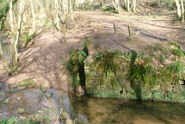
© Mick Garratt · Geograph · CC BY-SA 2.0
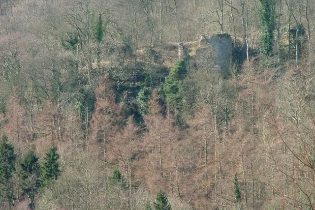
© Mick Garratt · Geograph · CC BY-SA 2.0
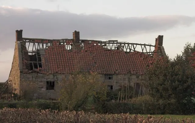
© Colin Grice · Geograph · CC BY-SA 2.0
Images © their respective photographers, licensed under CC BY-SA 2.0 and reused here with attribution. Photographs depict listed buildings, churches and monuments near this settlement and may show neighbouring villages.
Data derived from the Open Domesday project (opendomesday.org), based on the Domesday Book dataset compiled by Professor J.J.N. Palmer and team. The Domesday Book (1086) is in the public domain.
Found an inaccuracy? [email protected]