Liversedge in the Domesday Book (1086)
The 1086 Domesday survey records the settlement of Liversedge, entered under the hundred of Morley in Yorkshire.
Other Settlements in Morley
- Allerton
- Armley
- Batley
- Beeston
- Bolton
- Bowling
- Bradford
- Bramley
- Calverley
- Carlton
- Chellow [Grange]
- Clayton
- Clifton
- Cruttonstall
The Meaning of the Name
The origin of the name Liversedge is not securely established from its modern form alone; like many settlement names in the North it likely combines an Old English or Old Norse personal name with a landscape term.
Remarkably, the name has changed little since 1086, when the Domesday scribes wrote it as Liversedge.
Listed Buildings Near Liversedge
Historic England records 23 listed buildings within about a mile of Liversedge. Listing protects structures of special architectural or historic interest, graded I (exceptional), II* (particularly important) and II.
Grade II*
- Old Hall Farmhouse - 0.55 km
Grade II
- 265, Halifax Road - 0.39 km
- Middle Hall Farmhouse - 0.41 km
- Stocks Adjacent to Number 206 - 0.43 km
- Barn Adjacent to Bullace Trees Farmhouse - 0.43 km
- Haigh Hall - 0.44 km
- Bullace Trees Farmhouse - 0.46 km
- Pogg Myers Farmhouse - 0.52 km
- 285, Halifax Road - 0.58 km
- Headlands Hall - 0.62 km
- Duxbury Hall and Cottage - 0.62 km
- Toll House - 0.65 km
- Christ Church - 0.85 km
- Barn Adjoining Number 120 - 0.86 km
- Clough House - 0.86 km
- 120 and 122, Church Road - 0.87 km
- Friends’ Meeting House - 0.87 km
- 124 and 124A, Church Road - 0.88 km
- Liversedge Hall Including Cottage - 0.96 km
- Albion Inn - 0.96 km
- Block to Road of Spen Valley Carpet Works (Right Hand Part) - 1.22 km
- 44, Listing Lane and 1 Listing Drive - 1.24 km
- Boundary Stone Opposite Number 272 - 1.26 km
Liversedge Today
Today Liversedge lies within the administrative area of Kirklees, and the settlement recorded a population of 19,420 at recent figures. Nine and a half centuries separate that figure from the small rural community the Domesday survey recorded here in 1086.
Read more about modern Liversedge on Wikipedia .
Nearby Domesday Settlements
Other places recorded in the 1086 survey within a few miles:
Heritage Around Liversedge
Photographs of churches, listed buildings and monuments in the vicinity, contributed by volunteers to the Geograph project and reused here under a Creative Commons licence.
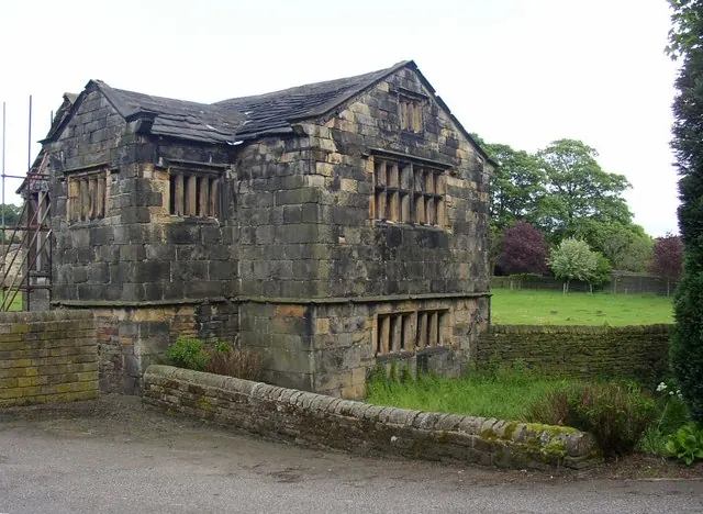
© Humphrey Bolton · Geograph · CC BY-SA 2.0

© Humphrey Bolton · Geograph · CC BY-SA 2.0
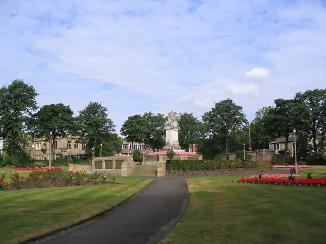
© Mick Melvin · Geograph · CC BY-SA 2.0
Images © their respective photographers, licensed under CC BY-SA 2.0 and reused here with attribution. Photographs depict listed buildings, churches and monuments near this settlement and may show neighbouring villages.
Data derived from the Open Domesday project (opendomesday.org), based on the Domesday Book dataset compiled by Professor J.J.N. Palmer and team. The Domesday Book (1086) is in the public domain.
Found an inaccuracy? [email protected]