Littleworth in the Domesday Book (1086)
Littleworth is named in the Domesday Book, compiled by Norman commissioners in 1086, entered under the hundred of Strafforth in Yorkshire.
Other Settlements in Strafforth
- Adwick [le Street]
- Adwick [upon Dearne]
- Armthorpe
- Aston
- Attercliffe
- Auckley
- Aughton [Hall]
- Austerfield
- Balby
- Barnbrough
- Barnby [Dun]
- Bentley
- Bilham [House]
- Billingley
The Meaning of the Name
The name Littleworth is of Anglo-Saxon origin. Its final element derives from the Old English word worð, an enclosure or homestead, while the first element appears to represent the lesser. Taken together the name probably meant something close to ’the lesser enclosure’.
Remarkably, the name has changed little since 1086, when the Domesday scribes wrote it as Littleworth.
Listed Buildings Near Littleworth
Historic England records 7 listed buildings within about a mile of Littleworth. Listing protects structures of special architectural or historic interest, graded I (exceptional), II* (particularly important) and II.
Grade II*
- Church of St Michael - 0.12 km
Grade II
- Rossington War Memorial - 0.08 km
- Shahjamal - 0.2 km
- Village Pump Situated Approximately 50 Metres to West of Junction With Stripe Road - 0.31 km
- Garage Shop at Premises of Rossington Motor Co - 0.33 km
- Milepost Opposite Junction With Littleworth Lane - 0.94 km
- Rossington Bridge House and Attached Wall With Railings - 1.12 km
Scheduled Monuments Near Littleworth
Scheduled monuments are nationally important archaeological sites given legal protection. 1 lies within roughly a mile of Littleworth:
- Rossington Roman fort - 0.65 km
Littleworth Today
Today Littleworth lies within the administrative area of Rossington.
Read more about modern Littleworth on Wikipedia .
Nearby Domesday Settlements
Other places recorded in the 1086 survey within a few miles:
Heritage Around Littleworth
Photographs of churches, listed buildings and monuments in the vicinity, contributed by volunteers to the Geograph project and reused here under a Creative Commons licence.
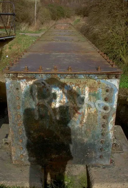
© Steve Fareham · Geograph · CC BY-SA 2.0
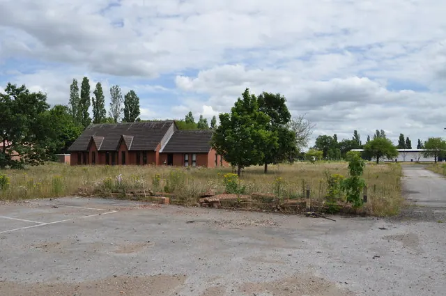
© Nick Mutton 01329 000000 · Geograph · CC BY-SA 2.0
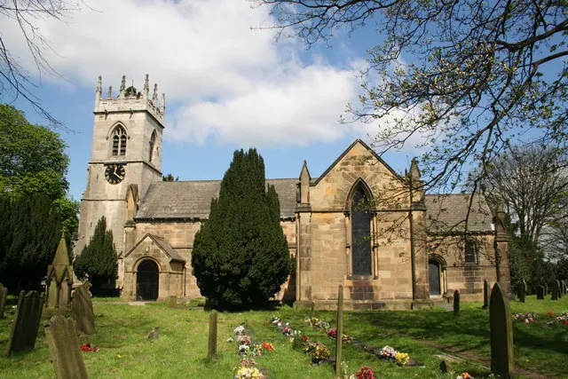
© Richard Croft · Geograph · CC BY-SA 2.0
Images © their respective photographers, licensed under CC BY-SA 2.0 and reused here with attribution. Photographs depict listed buildings, churches and monuments near this settlement and may show neighbouring villages.
Data derived from the Open Domesday project (opendomesday.org), based on the Domesday Book dataset compiled by Professor J.J.N. Palmer and team. The Domesday Book (1086) is in the public domain.
Found an inaccuracy? [email protected]