Little Smeaton in the Domesday Book (1086)
Little Smeaton is named in the Domesday Book, compiled by Norman commissioners in 1086, entered under the hundred of Allerton in Yorkshire.
Other Settlements in Allerton
- Ainderby [Steeple]
- Appleton [Wiske]
- Arncliffe [Hall]
- Birkby
- Borrowby
- Brompton
- Cowesby
- Crosby [Grange]
- Dale [Town]
- Deighton
- Ellerbeck
- Foxton
- Girsby
- Hawnby
The Meaning of the Name
The name Little Smeaton is of Anglo-Saxon origin. Its final element derives from the Old English word tūn, a farmstead or village. The first element is most likely a personal name or an early descriptive term, now difficult to recover with certainty. Taken together the name probably meant something close to ‘a farmstead’.
Remarkably, the name has changed little since 1086, when the Domesday scribes wrote it as Little Smeaton.
Listed Buildings Near Little Smeaton
Historic England records 11 listed buildings within about a mile of Little Smeaton. Listing protects structures of special architectural or historic interest, graded I (exceptional), II* (particularly important) and II.
Grade II
- The Old Bridge - 0.42 km
- Milepost Approximately 500 Metres to North of Salutation Farmhouse - 0.85 km
- Milepost Approximately 30 Metres to South East of Church of St Eloy - 0.95 km
- Tombstone of Richard Scott 1760 5 Metres to South of South Porch of Church of St Eloy - 0.98 km
- Table Tomb 5 Metres to South West of South Porch of Church of St Eloy - 0.99 km
- Table Tomb 3 Metres South of Chancel of Church of St Eloy - 0.99 km
- Phoenix House - 1.0 km
- Church of St Eloy - 1.0 km
- East House - 1.02 km
- The Old Rectory - 1.04 km
- Salutation Farmhouse - 1.13 km
Scheduled Monuments Near Little Smeaton
Scheduled monuments are nationally important archaeological sites given legal protection. 1 lies within roughly a mile of Little Smeaton:
- Little Smeaton medieval village and rabbit warrens, immediately south east of Westhorpe Hall - 0.21 km
Little Smeaton Today
Today Little Smeaton lies within the administrative area of Hambleton, and the settlement recorded a population of 51 at the 2021 census. Nine and a half centuries separate that figure from the small rural community the Domesday survey recorded here in 1086.
Read more about modern Little Smeaton on Wikipedia .
Nearby Domesday Settlements
Other places recorded in the 1086 survey within a few miles:
- Great Smeaton - 1.0 km N
- Birkby - 1.4 km SW
- Hornby - 2.8 km NE
- Hutton Bonville - 3.2 km S
- East Cowton - 4.0 km W
- Appleton Wiske - 4.1 km E
Heritage Around [Little] Smeaton
Photographs of churches, listed buildings and monuments in the vicinity, contributed by volunteers to the Geograph project and reused here under a Creative Commons licence.
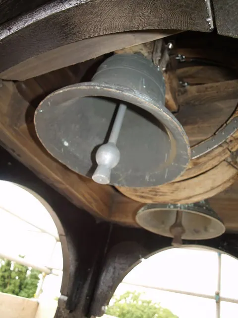
© Martin Kirk · Geograph · CC BY-SA 2.0
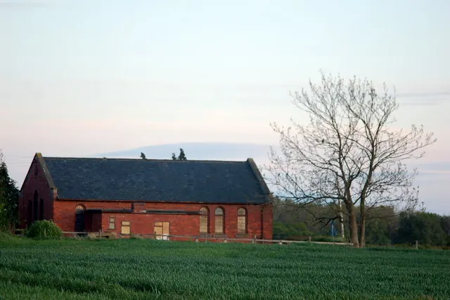
© Nick W · Geograph · CC BY-SA 2.0
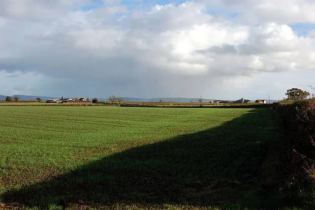
© Nick W · Geograph · CC BY-SA 2.0
Images © their respective photographers, licensed under CC BY-SA 2.0 and reused here with attribution. Photographs depict listed buildings, churches and monuments near this settlement and may show neighbouring villages.
Data derived from the Open Domesday project (opendomesday.org), based on the Domesday Book dataset compiled by Professor J.J.N. Palmer and team. The Domesday Book (1086) is in the public domain.
Found an inaccuracy? [email protected]