Little Moorsholm in the Domesday Book (1086)
The settlement of Little Moorsholm is recorded in William I’s Domesday survey of 1086, entered under the hundred of Langbaurgh in Yorkshire.
Other Settlements in Langbaurgh
- Acklam
- Airy [Holme]
- Aislaby
- Arnodestorp
- Baldebi
- Barnaby
- Barwick
- Battersby
- Bergolbi
- Berguluesbi
- Blaten [Carr]
- Borrowby
- Breck
- Brotton
The Meaning of the Name
The name Little Moorsholm is of Scandinavian origin. Its final element derives from the Old Norse word holmr, an island or dry ground in marsh. The first element is most likely a personal name or an early descriptive term, now difficult to recover with certainty. Taken together the name probably meant something close to ‘a island’.
Names of this type are a fingerprint of Scandinavian settlement: they cluster across the old Danelaw, where Norse-speaking settlers renamed or founded villages from the late 9th century onward.
Remarkably, the name has changed little since 1086, when the Domesday scribes wrote it as Little Moorsholm.
Listed Buildings Near Little Moorsholm
Historic England records 13 listed buildings within about a mile of Little Moorsholm. Listing protects structures of special architectural or historic interest, graded I (exceptional), II* (particularly important) and II.
Grade II
- Boundary Stone, 500 Metres South East of Claphow Farmhouse - 0.7 km
- Boundary Stone, 460 Metres South East of Claphow Farmhouse - 0.71 km
- Boundary Stone, 415 Metres South East of Claphow Farmhouse - 0.87 km
- Barn/cart Shed, Stables and Byre, Circa 40 Metres North of Green Hills Farmhouse - 0.93 km
- Low House Farmhouse - 1.09 km
- Cart Shed and Stable 35 Metres South East of Claphow Farmhouse - 1.13 km
- Stables East of Claphow Farmhouse - 1.14 km
- Cart Shed, Byre, Milking Parlour and Privy/coalhouse, 10 Metres South East of Claphow Farmhouse - 1.14 km
- Claphow Farmhouse Farm Cottage - 1.16 km
- Boundary Walls and Gatepiers to Stanghow House - 1.2 km
- Stanghow House - 1.2 km
- 3 and 4 Plantation Cottages - 1.29 km
- 1 and 2 Plantation Cottages - 1.3 km
Scheduled Monuments Near Little Moorsholm
Scheduled monuments are nationally important archaeological sites given legal protection. 2 lie within roughly a mile of Little Moorsholm:
- Medieval farmstead 420m east of Buck Rush Farm - 1.03 km
- Medieval settlement and open field system at Kilton Thorpe - 1.23 km
Nearby Domesday Settlements
Other places recorded in the 1086 survey within a few miles:
Heritage Around [Little] Moorsholm
Photographs of churches, listed buildings and monuments in the vicinity, contributed by volunteers to the Geograph project and reused here under a Creative Commons licence.
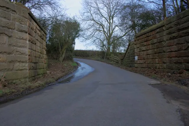
© Mick Garratt · Geograph · CC BY-SA 2.0
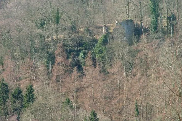
© Mick Garratt · Geograph · CC BY-SA 2.0
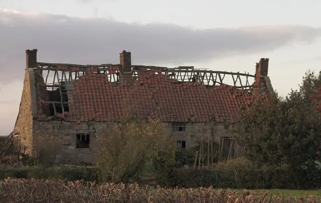
© Colin Grice · Geograph · CC BY-SA 2.0
Images © their respective photographers, licensed under CC BY-SA 2.0 and reused here with attribution. Photographs depict listed buildings, churches and monuments near this settlement and may show neighbouring villages.
Data derived from the Open Domesday project (opendomesday.org), based on the Domesday Book dataset compiled by Professor J.J.N. Palmer and team. The Domesday Book (1086) is in the public domain.
Found an inaccuracy? [email protected]