Little Marish in the Domesday Book (1086)
Little Marish appears in the Domesday Book of 1086, entered under the hundred of Dic in Yorkshire.
Other Settlements in Dic
- Aislaby
- Allerston
- Appleton [le Moors]
- Aschelesmersc
- Aschilesmares
- Barton [le Street]
- Baschebi
- Baschesbi
- Brompton
- Burniston
- Burton [Dale]
- Cawthorn
- Cayton
- Chigogemers
The Meaning of the Name
The origin of the name Little Marish is not securely established from its modern form alone; like many settlement names in the North it likely combines an Old English or Old Norse personal name with a landscape term.
Remarkably, the name has changed little since 1086, when the Domesday scribes wrote it as Little Marish.
Listed Buildings Near Little Marish
Historic England records 26 listed buildings within about a mile of Little Marish. Listing protects structures of special architectural or historic interest, graded I (exceptional), II* (particularly important) and II.
Grade I
- Ebberston Hall - 1.01 km
Grade II*
- Westwood Farmhouse - 0.26 km
- Church of St Mary the Virgin - 0.94 km
- Wall of Cascade Approximately 50 Metres North of Ebberston Hall - 1.06 km
Grade II
- Westwood Granary - 0.23 km
- Westward Barn and The Cow House - 0.25 km
- Beckus - 0.26 km
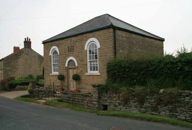
- Saint Mary’s Mission Room, and railings attached to footbridge to front - 0.26 km
- The Kilns - 0.26 km
- 2 and 4, Chapel Terrace - 0.26 km
- Former malthouse approximately one metre north of The Kilns - 0.27 km
- Chapel House - 0.28 km
- Yew Tree Cottage and Ivy Cottage - 0.3 km
- 46, Main Street - 0.34 km
- Brook Villa - 0.38 km
- Church House - 0.46 km
- 5, Orchard Terrace - 0.49 km
- 4, Orchard Terrace - 0.5 km
- 13 and 15, Main Street - 0.56 km
- The Grapes Inn - 0.61 km
- Crossgate House - 0.62 km
- Cliff House - 0.67 km
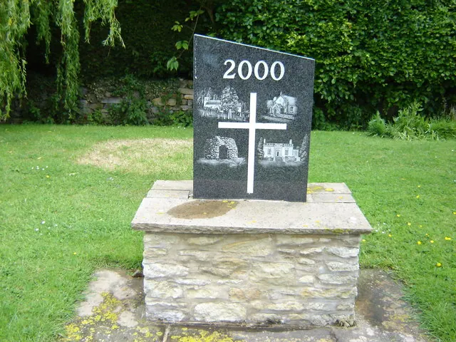
- Cross Approximately 14.5 Metres South East of Porch of Church of Saint Mary the Virgin - 0.92 km
- Saint Mary’s Cottage - 0.92 km
…and 2 more listed structures in the area.
Scheduled Monuments Near Little Marish
Scheduled monuments are nationally important archaeological sites given legal protection. 3 lie within roughly a mile of Little Marish:
- Medieval settlement immediately south east of Ebberston Hall - 0.82 km
- Churchyard cross, immediately south of St Mary the Virgin’s Church - 0.92 km
- Allerston lime kilns - 1.41 km
Little Marish Today
Today Little Marish lies within the administrative area of Ebberston and Yedingham.
Read more about modern Ebberston on Wikipedia .
Nearby Domesday Settlements
Other places recorded in the 1086 survey within a few miles:
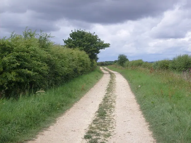
Heritage Around [Little] Marish
Photographs of churches, listed buildings and monuments in the vicinity, contributed by volunteers to the Geograph project and reused here under a Creative Commons licence.
© JThomas · Geograph · CC BY-SA 2.0
© David Rogers · Geograph · CC BY-SA 2.0
© Martin Dawes · Geograph · CC BY-SA 2.0
Images © their respective photographers, licensed under CC BY-SA 2.0 and reused here with attribution. Photographs depict listed buildings, churches and monuments near this settlement and may show neighbouring villages.
Data derived from the Open Domesday project (opendomesday.org), based on the Domesday Book dataset compiled by Professor J.J.N. Palmer and team. The Domesday Book (1086) is in the public domain.
Found an inaccuracy? [email protected]