Little Leigh in the Domesday Book (1086)
Little Leigh is named in the Domesday Book, compiled by Norman commissioners in 1086, entered under the hundred of Bucklow in Cheshire.
Other Settlements in Bucklow
- Appleton
- Ashley
- Aston [by Budworth]
- Aston [by Sutton]
- Bartington
- Clifton
- Dunham [Massey]
- Eanley
- Grappenhall
- Lymm
- Mobberley
- Northenden
- Norton
- Ollerton
The Meaning of the Name
The origin of the name Little Leigh is not securely established from its modern form alone; like many settlement names in the North it likely combines an Old English or Old Norse personal name with a landscape term.
Remarkably, the name has changed little since 1086, when the Domesday scribes wrote it as Little Leigh.
Listed Buildings Near Little Leigh
Historic England records 17 listed buildings within about a mile of Little Leigh. Listing protects structures of special architectural or historic interest, graded I (exceptional), II* (particularly important) and II.
Grade I
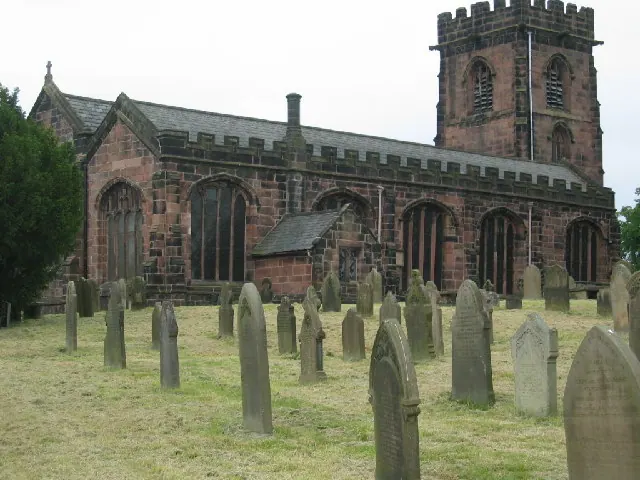
- Church of St Mary - 1.23 km
Grade II
- Trent and Mersey Canal Canal Aqueduct Number 205 - 0.07 km
- Lychgate to St Michael’s Churchyard - 0.45 km
- Church of St Michael and All Angels - 0.48 km
- Trent and Mersey Canal, Canal Milepost South East of Bridge Number 206 at Sj 61017538 - 0.57 km
- Barley Meadow Bridge (Canal Bridge Number 206) - 0.62 km
- Easy Heath Farmhouse - 0.77 km
- Trent and Mersey Canal Western Entrance to the Saltersford Tunnel - 0.89 km
- Trent and Mersey Canal Milepost on Towpath Above the Salterford Tunnel - 0.97 km
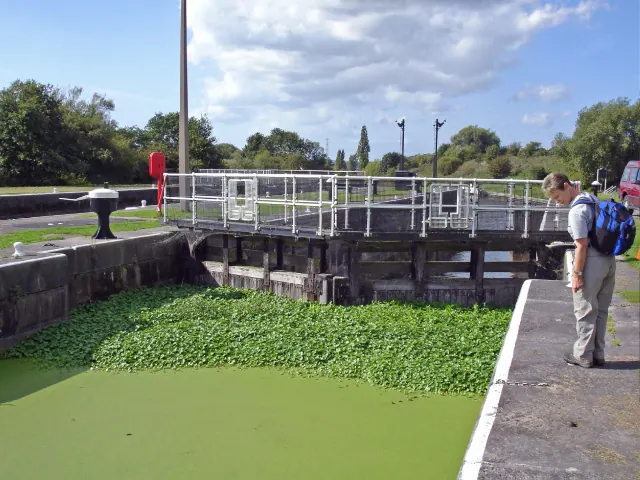
- Weaver Navigation Saltersford Locks - 1.06 km
- Tollhouse at Saltersford Locks - 1.07 km
- Weaverham War Memorial - 1.24 km
- Raintub Cottage - 1.25 km
- Ivy House - 1.26 km
- Trent and Mersey Canal Eastern Entrance to the Saltersford Tunnel - 1.26 km
- 3 and 5, Church Lane - 1.28 km
- 6 and 8, Church Street - 1.3 km
Little Leigh Today
Today Little Leigh lies within the administrative area of Cheshire West and Chester, and the settlement recorded a population of 571 at the 2021 census. Nine and a half centuries separate that figure from the small rural community the Domesday survey recorded here in 1086.
Read more about modern Little Leigh on Wikipedia .
Nearby Domesday Settlements
Other places recorded in the 1086 survey within a few miles:
- Bartington - 1.4 km NW
- Weaverham - 2.0 km S
- Cogshall - 2.8 km NE
- Winnington - 3.2 km E
- Hartford - 3.6 km SE
- Higher and Lower Whitley - 4.0 km N
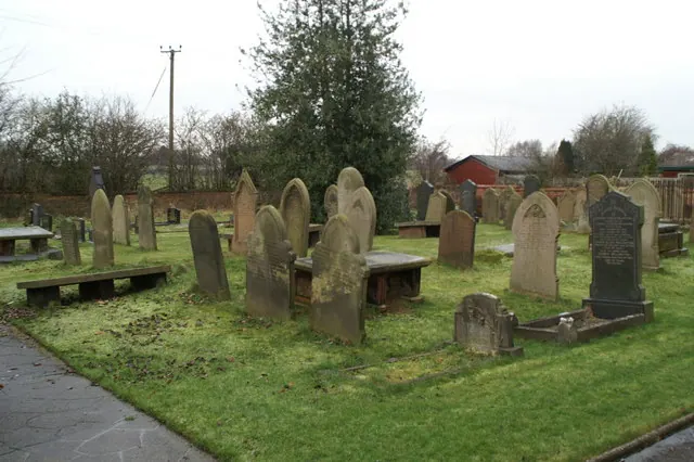
Heritage Around [Little] Leigh
Photographs of churches, listed buildings and monuments in the vicinity, contributed by volunteers to the Geograph project and reused here under a Creative Commons licence.
© Lizzie · Geograph · CC BY-SA 2.0
© Mike Harris · Geograph · CC BY-SA 2.0
© David Long · Geograph · CC BY-SA 2.0
Images © their respective photographers, licensed under CC BY-SA 2.0 and reused here with attribution. Photographs depict listed buildings, churches and monuments near this settlement and may show neighbouring villages.
Data derived from the Open Domesday project (opendomesday.org), based on the Domesday Book dataset compiled by Professor J.J.N. Palmer and team. The Domesday Book (1086) is in the public domain.
Found an inaccuracy? [email protected]