Little Hawksworth in the Domesday Book (1086)
The settlement of Little Hawksworth is recorded in William I’s Domesday survey of 1086, entered under the hundred of Skyrack in Yorkshire.
Other Settlements in Skyrack
- Adel
- Allerton [Bywater]
- Alwoodley
- Arthington
- Austhorpe
- Baildon
- Bardsey
- Barwick [in Elmet]
- Bichertun
- Bicherun
- Bingley
- Birkby [Hill]
- Bramhope
- Burden [Head]
The Meaning of the Name
The name Little Hawksworth is of Anglo-Saxon origin. Its final element derives from the Old English word worð, an enclosure or homestead. The first element is most likely a personal name or an early descriptive term, now difficult to recover with certainty. Taken together the name probably meant something close to ‘a enclosure’.
Remarkably, the name has changed little since 1086, when the Domesday scribes wrote it as Little Hawksworth.
Listed Buildings Near Little Hawksworth
Historic England records 17 listed buildings within about a mile of Little Hawksworth. Listing protects structures of special architectural or historic interest, graded I (exceptional), II* (particularly important) and II.
Grade II*
- Hawksworth Hall - 1.05 km
Grade II
- Thorpe Farmhouse - 0.31 km
- High Royds Hospital - 0.43 km
- Former tram shed - 0.68 km
- High Royds Hall - 0.75 km
- Gate Piers at East Entrance to Hawksworth Hall - 0.99 km
- Lane Side Farmhouse - 1.14 km
- Outbuilding approximately 4 metres south west of rear of Lane Side Farmhouse - 1.15 km
- Intake Farmhouse and Attached Barn - 1.18 km
- Mullion Cottage, Squirrel Cottage and Wayside - 1.19 km
- 28, Back Lane - 1.19 km
- Hawksworth Cottage - 1.2 km
- Hall Croft - 1.2 km
- The Manor House - 1.23 km
- K6 Telephone Kiosk - 1.24 km
- Cobblestones - 1.29 km
- Hawkslyn - 1.3 km
Little Hawksworth Today
Today Little Hawksworth lies within the administrative area of Leeds.
Read more about modern Hawksworth on Wikipedia .
Nearby Domesday Settlements
Other places recorded in the 1086 survey within a few miles:
- Hawksworth - 1.4 km SW
- Menston - 1.4 km NW
- Guiseley - 2.0 km E
- Yeadon - 3.2 km E
- Baildon - 3.6 km SW
- Burley in Wharfedale - 4.1 km N
Heritage Around [Little] Hawksworth
Photographs of churches, listed buildings and monuments in the vicinity, contributed by volunteers to the Geograph project and reused here under a Creative Commons licence.
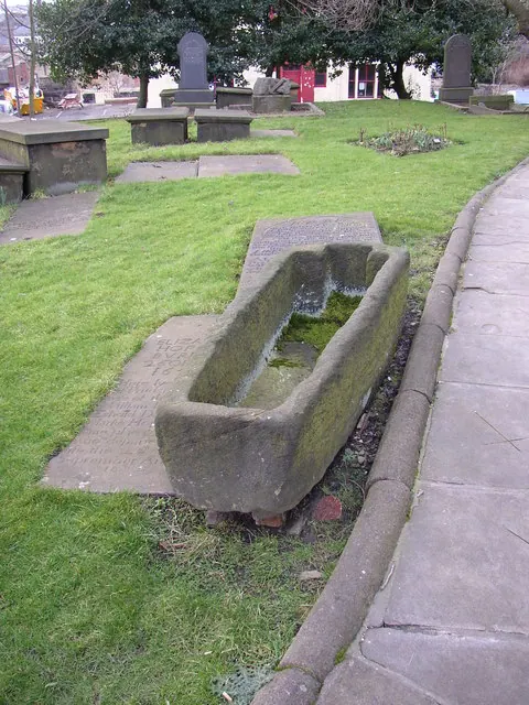
© Humphrey Bolton · Geograph · CC BY-SA 2.0
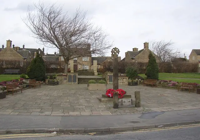
© Humphrey Bolton · Geograph · CC BY-SA 2.0
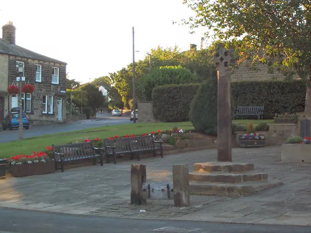
© David Spencer · Geograph · CC BY-SA 2.0
Images © their respective photographers, licensed under CC BY-SA 2.0 and reused here with attribution. Photographs depict listed buildings, churches and monuments near this settlement and may show neighbouring villages.
Data derived from the Open Domesday project (opendomesday.org), based on the Domesday Book dataset compiled by Professor J.J.N. Palmer and team. The Domesday Book (1086) is in the public domain.
Found an inaccuracy? [email protected]