Little? Hallam in the Domesday Book (1086)
Little? Hallam appears in the Domesday Book of 1086, entered under the hundred of Morleystone in Derbyshire.
Other Settlements in Morleystone
- Bradley
- Breadsall
- Breaston
- Cellesdene
- Chaddesden
- Codnor
- Crich
- Denby
- Derby
- Draycott
- Duffield
- Hallam
- Heanor
- Herdebi
The Meaning of the Name
The origin of the name Little? Hallam is not securely established from its modern form alone; like many settlement names in the North it likely combines an Old English or Old Norse personal name with a landscape term.
Remarkably, the name has changed little since 1086, when the Domesday scribes wrote it as Little? Hallam.
Listed Buildings Near Little? Hallam
Historic England records 16 listed buildings within about a mile of Little? Hallam. Listing protects structures of special architectural or historic interest, graded I (exceptional), II* (particularly important) and II.
Grade I
- Church of All Saints - 0.75 km
Grade II*
- Church of St Mary - 1.28 km
Grade II
- The Gables - 0.16 km
- The Hall the Old Hall - 0.32 km
- Brick Kiln - 0.88 km
- Nazarene Church - 0.98 km
- Baptist Chapel - 1.12 km
- Ritz Cinema - 1.12 km
- Carnegie Free Library - 1.19 km
- War Memorial - 1.21 km
- United Reformed Church and Attached Parish Rooms - 1.21 km
- Town Hall - 1.26 km
- Drinking Fountain - 1.28 km
- War Memorial South West of Cemetery Chapels - 1.29 km
- Gatepiers Walls and Railings to South of Cemetery Chapels - 1.29 km
- Tower of St Bartholomews Church - 1.29 km
Nearby Domesday Settlements
Other places recorded in the 1086 survey within a few miles:
Heritage Around [Little?] Hallam
Photographs of churches, listed buildings and monuments in the vicinity, contributed by volunteers to the Geograph project and reused here under a Creative Commons licence.
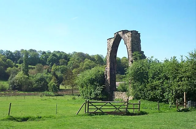
© Garth Newton · Geograph · CC BY-SA 2.0
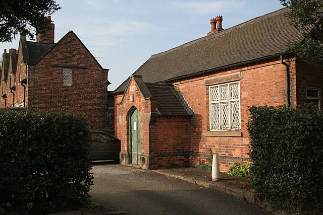
© Alan Murray-Rust · Geograph · CC BY-SA 2.0
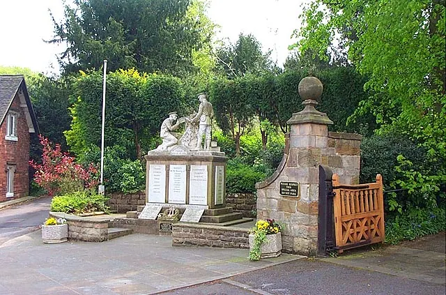
© Garth Newton · Geograph · CC BY-SA 2.0
Images © their respective photographers, licensed under CC BY-SA 2.0 and reused here with attribution. Photographs depict listed buildings, churches and monuments near this settlement and may show neighbouring villages.
Data derived from the Open Domesday project (opendomesday.org), based on the Domesday Book dataset compiled by Professor J.J.N. Palmer and team. The Domesday Book (1086) is in the public domain.
Found an inaccuracy? [email protected]