Little Driffield in the Domesday Book (1086)
The settlement of Little Driffield is recorded in William I’s Domesday survey of 1086, entered under the hundred of Driffield in Yorkshire.
Other Settlements in Driffield
- Bainton
- Cranswick
- Eastburn
- Hutton [Cranswick]
- Kelleythorpe
- Neswick [Hall]
- Rotsea
- Skerne
- Southburn
- Tibthorpe
- Torp
- [Great] Driffield
- [Great] Kendale
- [Kirk]burn
The Meaning of the Name
The name Little Driffield is of Anglo-Saxon origin. Its final element derives from the Old English word feld, open country. The first element is most likely a personal name or an early descriptive term, now difficult to recover with certainty. Taken together the name probably meant something close to ‘a open land’.
Remarkably, the name has changed little since 1086, when the Domesday scribes wrote it as Little Driffield.
Listed Buildings Near Little Driffield
Historic England records 2 listed buildings within about a mile of Little Driffield. Listing protects structures of special architectural or historic interest, graded I (exceptional), II* (particularly important) and II.
Grade II*
- Church of St Mary - 0.5 km
- Elmswell Old Hall - 1.05 km
Scheduled Monuments Near Little Driffield
Scheduled monuments are nationally important archaeological sites given legal protection. 3 lie within roughly a mile of Little Driffield:
- Eastern bowl barrow of a pair, 350m south east of Springwell Farm - 0.86 km
- Western bowl barrow of a pair, 310m SSE of Springwell Farm - 0.9 km
- Bowl barrow west of Driffield Beck, 220m south west of King’s Mill - 0.93 km
Little Driffield Today
Today Little Driffield lies within the administrative area of Driffield.
Read more about modern Little Driffield on Wikipedia .
Nearby Domesday Settlements
Other places recorded in the 1086 survey within a few miles:
- Kelleythorpe - 1.4 km SE
- Elmswell - 1.4 km NW
- Great Driffield - 2.0 km E
- Eastburn - 2.2 km SW
- Garton on the Wolds - 2.8 km NW
- Great Kendale - 3.2 km N
Heritage Around [Little] Driffield
Photographs of churches, listed buildings and monuments in the vicinity, contributed by volunteers to the Geograph project and reused here under a Creative Commons licence.
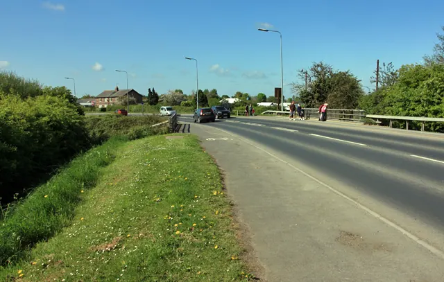
© Peter Church · Geograph · CC BY-SA 2.0
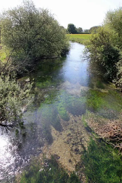
© Peter Church · Geograph · CC BY-SA 2.0
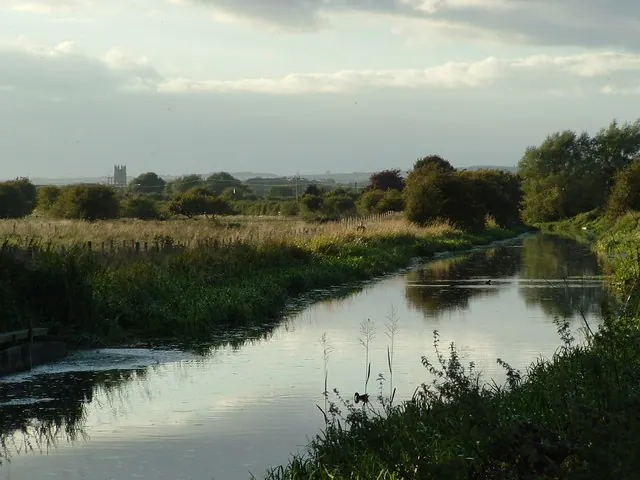
© John Phillips · Geograph · CC BY-SA 2.0
Images © their respective photographers, licensed under CC BY-SA 2.0 and reused here with attribution. Photographs depict listed buildings, churches and monuments near this settlement and may show neighbouring villages.
Data derived from the Open Domesday project (opendomesday.org), based on the Domesday Book dataset compiled by Professor J.J.N. Palmer and team. The Domesday Book (1086) is in the public domain.
Found an inaccuracy? [email protected]