Little Braham in the Domesday Book (1086)
Little Braham is named in the Domesday Book, compiled by Norman commissioners in 1086, entered under the hundred of Burghshire in Yorkshire.
Other Settlements in Burghshire
- Addlethorpe
- Aismunderby
- Aldfield
- Allerton [Mauleverer]
- Arkendale
- Askwith
- Azerley
- Barrowby [Grange]
- Beckwith [House]
- Besthaim
- Bestham
- Bewerley
- Bilton
- Birstwith
The Meaning of the Name
The name Little Braham is of Anglo-Saxon origin. Its final element derives from the Old English word hām, a homestead or village. The first element is most likely a personal name or an early descriptive term, now difficult to recover with certainty. Taken together the name probably meant something close to ‘a homestead’.
Remarkably, the name has changed little since 1086, when the Domesday scribes wrote it as Little Braham.
Listed Buildings Near Little Braham
Historic England records 9 listed buildings within about a mile of Little Braham. Listing protects structures of special architectural or historic interest, graded I (exceptional), II* (particularly important) and II.
Grade II
- Stables at Aketon Close - 0.71 km
- Aketon Close - 0.74 km
- K6 - 0.9 km
- Stile and 5 Metre Length of Walling Approximately 30 Metres North of Plompton Square - 1.01 km
- West and East Lodges to Plompton Hall With Gate Piers - 1.01 km
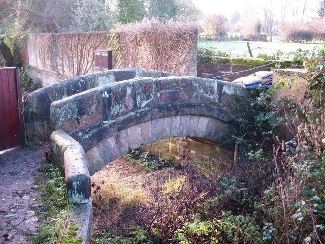
- Packhorse Bridge Approximately 1 Metre to West of Old Corn Mill - 1.13 km
- Dam at South End of Lake - 1.14 km
- Boathouse on East Side of Lake - 1.26 km
- Pound - 1.27 km
Scheduled Monuments Near Little Braham
Scheduled monuments are nationally important archaeological sites given legal protection. 1 lies within roughly a mile of Little Braham:
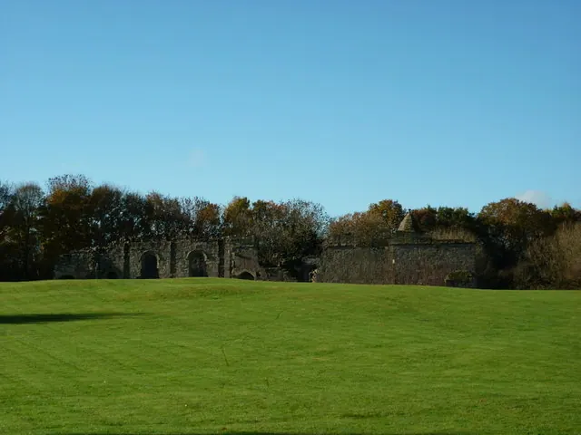
- Spofforth Castle magnates’ residence - 1.43 km
Nearby Domesday Settlements
Other places recorded in the 1086 survey within a few miles:
- Great Braham - 0.0 km N
- Caldeuuelle - 1.4 km SE
- Cradeuuelle - 1.4 km SE
- Spofforth - 1.4 km SE
- Plompton Hall - 2.0 km N
- Newsome Farm - 2.2 km SE
Heritage Around [Little] Braham
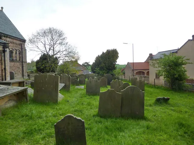
Photographs of churches, listed buildings and monuments in the vicinity, contributed by volunteers to the Geograph project and reused here under a Creative Commons licence.
© Gordon Hatton · Geograph · CC BY-SA 2.0
© Ian S · Geograph · CC BY-SA 2.0
© Alexander P Kapp · Geograph · CC BY-SA 2.0
Images © their respective photographers, licensed under CC BY-SA 2.0 and reused here with attribution. Photographs depict listed buildings, churches and monuments near this settlement and may show neighbouring villages.
Data derived from the Open Domesday project (opendomesday.org), based on the Domesday Book dataset compiled by Professor J.J.N. Palmer and team. The Domesday Book (1086) is in the public domain.
Found an inaccuracy? [email protected]