Litchurch in the Domesday Book (1086)
The settlement of Litchurch is recorded in William I’s Domesday survey of 1086, entered under the hundred of Litchurch in Derbyshire.
Other Settlements in Litchurch
- Allestree
- Alvaston
- Ambaston
- Arleston
- Aston [-on-Trent]
- Barrow [-upon-Trent]
- Bearwardcote
- Boulton
- Burnaston
- Chellaston
- Cottons
- Dalbury
- Egginton
- Elvaston
The Meaning of the Name
The origin of the name Litchurch is not securely established from its modern form alone; like many settlement names in the North it likely combines an Old English or Old Norse personal name with a landscape term.
Remarkably, the name has changed little since 1086, when the Domesday scribes wrote it as Litchurch.
Listed Buildings Near Litchurch
Historic England records 29 listed buildings within about a mile of Litchurch. Listing protects structures of special architectural or historic interest, graded I (exceptional), II* (particularly important) and II.
Grade II*
- Midland Railway War Memorial - 1.14 km
- Former Engine Shed (Remains of the original Midland Region Railway Station) - 1.16 km
- Former Carriage Shop at Derby Railway Works - 1.21 km
Grade II
- Derby Conference Centre - 0.63 km
- St Osmunds Vicarage. St Osmunds House - 0.75 km
- Litchurch Lodge - 0.77 km
- Church of St Osmund - 0.77 km
- St James’ War Memorial Cross - 0.82 km
- Parish Church of St James - 0.84 km
- Commercial Block at the Rolls-Royce Main Works Site - 0.92 km
- Reginald Street Baths - 0.96 km
- Railings and Gates of Arboretum - 1.05 km
- Rosehill House, associated outbuilding and boundary walls to north and east - 1.05 km
- Gate Lodge of Arboretum - 1.1 km
- Midland Hotel - 1.12 km
- Winter’s Photographic Studio - 1.14 km
- Clock Tower (Remains of the Original Midland Region Railway Station) - 1.16 km
- Former Crown and Cushion Public House - 1.17 km
- Lamp Standard Opposite Entrance Lodge to Arboretum - 1.18 km
- Entrance Lodge of Arboretum - 1.19 km
- Carlton Hotel - 1.19 km
- Shelter to North of the Entrance Lodge to Derby Arboretum - 1.21 km
- Urn Cast Iron in Derby Arboretum - 1.22 km
- 997, London Road - 1.26 km
…and 5 more listed structures in the area.
Litchurch Today
Today Litchurch lies within the administrative area of City of Derby.
Read more about modern Litchurch on Wikipedia .
Nearby Domesday Settlements
Other places recorded in the 1086 survey within a few miles:
Heritage Around Litchurch
Photographs of churches, listed buildings and monuments in the vicinity, contributed by volunteers to the Geograph project and reused here under a Creative Commons licence.
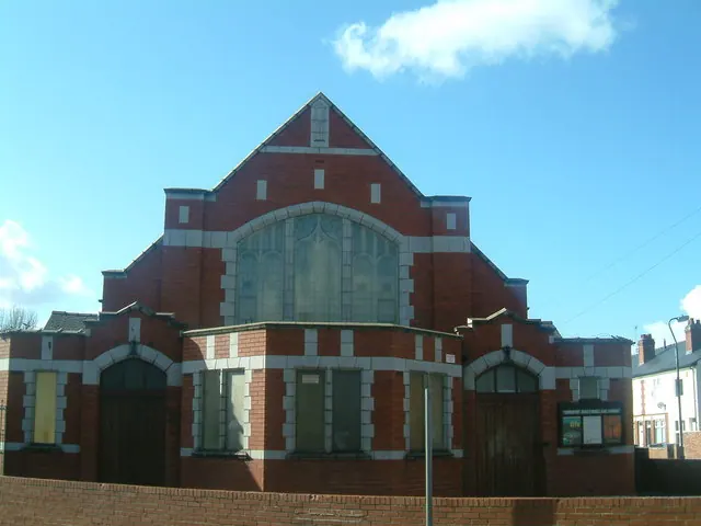
© Tom Wosik · Geograph · CC BY-SA 2.0
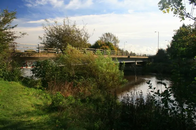
© David Lally · Geograph · CC BY-SA 2.0
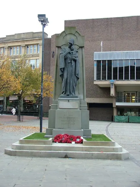
© J147 · Geograph · CC BY-SA 2.0
Images © their respective photographers, licensed under CC BY-SA 2.0 and reused here with attribution. Photographs depict listed buildings, churches and monuments near this settlement and may show neighbouring villages.
Data derived from the Open Domesday project (opendomesday.org), based on the Domesday Book dataset compiled by Professor J.J.N. Palmer and team. The Domesday Book (1086) is in the public domain.
Found an inaccuracy? [email protected]