Linton in the Domesday Book (1086)
The 1086 Domesday survey records the settlement of Linton, entered under the hundred of Craven in Yorkshire.
Other Settlements in Craven
- Addingham
- Airton
- Anley
- Appletreewick
- Arncliffe
- Arnford
- Barnoldswick
- Bashall [Eaves]
- Battersby [Barn]
- Beamsley
- Birkby [Hall]
- Bogeuurde
- Bolton [Abbey]
- Bolton [by Bowland]
The Meaning of the Name
The name Linton is of Anglo-Saxon origin. Its final element derives from the Old English word tūn, a farmstead or village. The first element is most likely a personal name or an early descriptive term, now difficult to recover with certainty. Taken together the name probably meant something close to ‘a farmstead’.
Remarkably, the name has changed little since 1086, when the Domesday scribes wrote it as Linton.
Listed Buildings Near Linton
Historic England records 35 listed buildings within about a mile of Linton. Listing protects structures of special architectural or historic interest, graded I (exceptional), II* (particularly important) and II.
Grade II*
- Fountaines Hospital - 0.23 km
- Church of St Michael and All Angels - 1.18 km
Grade II
- Yew Tree Cottage and Fell View - 0.2 km
- Grange Farmhouse - 0.24 km
- Brows View - 0.26 km
- Clapper bridge approximately 20 metres east of Fountaine’s Hospital - 0.26 km
- Fountaine Inn - 0.26 km
- Troutbeck and Beckside Cottage - 0.28 km
- Tythe Barn - 0.29 km
- K6 Telephone Kiosk - 0.29 km
- Bridge at Ford Over Linton Beck - 0.3 km
- Sunnybank and the Post Office - 0.3 km
- Linton Hall - 0.3 km
- Linton House - 0.36 km
- Guide Post at Sd 9979 6285 - 0.42 km
- White Abbey - 0.42 km
- Guide Post at Sd 9986 6309 - 0.66 km
- Guide Post at Se 0010 6293 - 0.68 km
- Bow Bridge - 0.87 km
- Lile Emilys Bridge - 0.96 km
- Threshfield School - 0.96 km
- Linton-in-Craven War Memorial - 1.13 km
- Sundial and Grave Slab Approximately 8 Metres South of Nave of Church of St Michael - 1.16 km
- Threshfield Bridge - 1.17 km
…and 11 more listed structures in the area.
Scheduled Monuments Near Linton
Scheduled monuments are nationally important archaeological sites given legal protection. 4 lie within roughly a mile of Linton:
- Redmayne packhorse bridge - 0.3 km
- Medieval farmstead and field system, 530m south east of The Grange - 0.7 km
- Hydro-electric power house and associated weir 250m north west of Tin Bridge - 1.06 km
- Linton churchyard cross and sundial - 1.17 km
Linton Today
Today Linton lies within the administrative area of North Yorkshire, and the settlement recorded a population of 124 at the 2021 census. Nine and a half centuries separate that figure from the small rural community the Domesday survey recorded here in 1086.
Read more about modern Linton on Wikipedia .
Nearby Domesday Settlements
Other places recorded in the 1086 survey within a few miles:
- Threshfield - 1.4 km NW
- Thorpe - 2.2 km SE
- Grassington - 2.2 km NE
- Hebden - 3.0 km E
- Burnsall - 4.1 km E
- Hartlington - 4.1 km E
Heritage Around Linton
Photographs of churches, listed buildings and monuments in the vicinity, contributed by volunteers to the Geograph project and reused here under a Creative Commons licence.
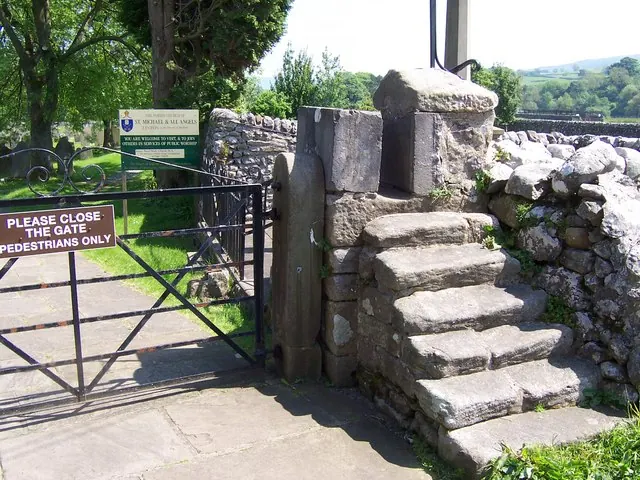
© Joe Regan · Geograph · CC BY-SA 2.0
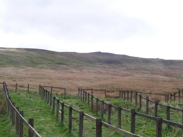
© Joe Regan · Geograph · CC BY-SA 2.0
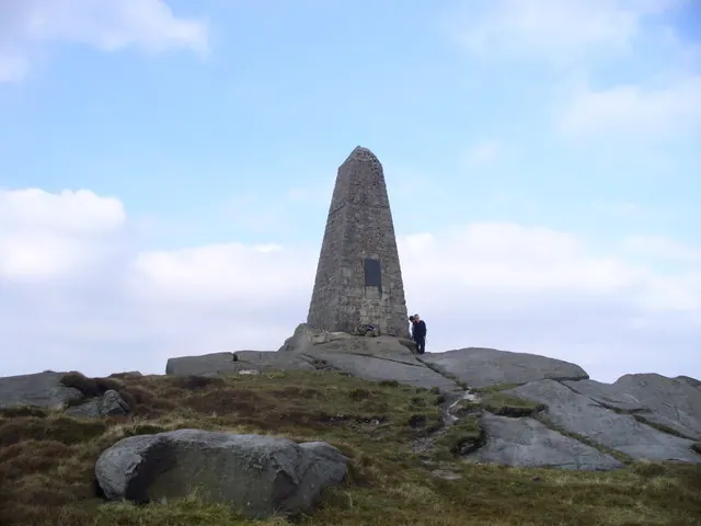
© Peter Worrell · Geograph · CC BY-SA 2.0
Images © their respective photographers, licensed under CC BY-SA 2.0 and reused here with attribution. Photographs depict listed buildings, churches and monuments near this settlement and may show neighbouring villages.
Data derived from the Open Domesday project (opendomesday.org), based on the Domesday Book dataset compiled by Professor J.J.N. Palmer and team. The Domesday Book (1086) is in the public domain.
Found an inaccuracy? [email protected]