Lindley in the Domesday Book (1086)
Lindley appears in the Domesday Book of 1086, entered under the hundred of Agbrigg in Yorkshire.
Other Settlements in Agbrigg
- Ackton
- Almondbury
- Austonley
- Bradley
- Cartworth
- Crigglestone
- Crofton
- Dalton
- Emley
- Farnley [Tyas]
- Flockton
- Fulstone
- Golcar
- Hepworth
The Meaning of the Name
The name Lindley is of Anglo-Saxon origin. Its final element derives from the Old English word lēah, a woodland clearing or glade. The first element is most likely a personal name or an early descriptive term, now difficult to recover with certainty. Taken together the name probably meant something close to ‘a clearing’.
Remarkably, the name has changed little since 1086, when the Domesday scribes wrote it as Lindley.
Listed Buildings Near Lindley
Historic England records 112 listed buildings within about a mile of Lindley. Listing protects structures of special architectural or historic interest, graded I (exceptional), II* (particularly important) and II.
Grade II
- 14-18, West Street - 0.04 km
- 46 and 48, West Street - 0.04 km
- The Black Bull Public House - 0.05 km
- 20, Thomas Street - 0.1 km
- Almshouses Archway Between Numbers 2 and 4 - 0.12 km
- Brunswick House - 0.15 km
- 96, West Street - 0.19 km
- Former Coachhouse - 0.19 km
- 43 and 47, East Street - 0.21 km
- 28 and 30, Temple Street - 0.27 km
- Lindley Methodist Church - 0.27 km
- 23 and 25, Temple Street - 0.28 km
- 51, Lidget Street - 0.28 km
- 1, Temple Street - 0.29 km
- East Royd - 0.3 km
- 1, Weather Hill Road - 0.33 km
- 3 and 5, Weather Hill Road - 0.34 km
- 19, Weather Hill Road - 0.35 km
- Dwarf Wall and Gates to Norman Terrace - 0.35 km
- Norman Terrace - 0.35 km
- 21, Weather Hill Road - 0.36 km
- 8, Lidget Street - 0.37 km
- Coachhouse West of Fieldhead - 0.38 km
- 96-102, Birchencliffe Hill Road - 0.39 km
…and 88 more listed structures in the area.
Scheduled Monuments Near Lindley
Scheduled monuments are nationally important archaeological sites given legal protection. 1 lies within roughly a mile of Lindley:
- Grimscar Roman tilery - 1.55 km
Lindley Today
Today Lindley lies within the administrative area of Kirklees.
Read more about modern Lindley on Wikipedia .
Nearby Domesday Settlements
Other places recorded in the 1086 survey within a few miles:
- Quarmby - 1.0 km S
- Fixby - 2.2 km NE
- Old Lindley - 2.2 km NW
- Elland - 3.2 km N
- Huddersfield - 3.6 km SE
- Rastrick - 3.6 km NE
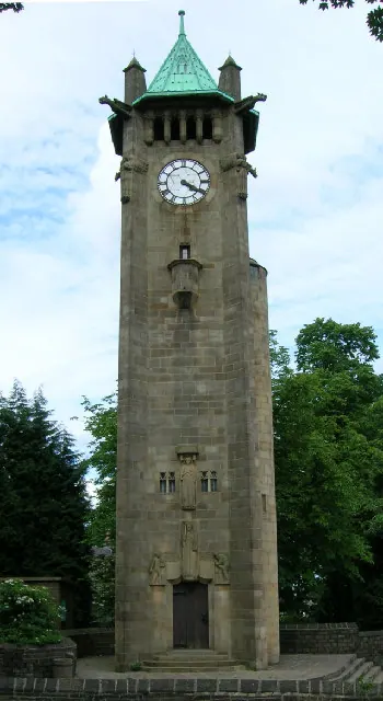
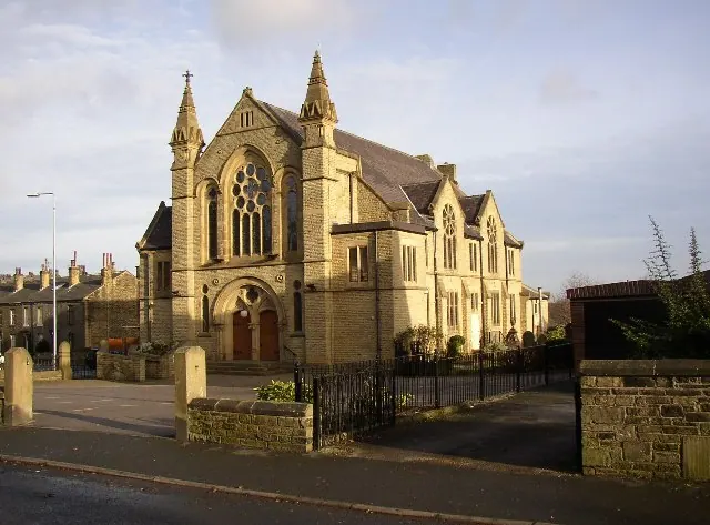
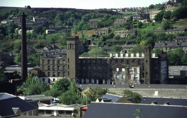
Heritage Around Lindley
Photographs of churches, listed buildings and monuments in the vicinity, contributed by volunteers to the Geograph project and reused here under a Creative Commons licence.
© Ian M · Geograph · CC BY-SA 2.0
© Humphrey Bolton · Geograph · CC BY-SA 2.0
© Chris Allen · Geograph · CC BY-SA 2.0
Images © their respective photographers, licensed under CC BY-SA 2.0 and reused here with attribution. Photographs depict listed buildings, churches and monuments near this settlement and may show neighbouring villages.
Data derived from the Open Domesday project (opendomesday.org), based on the Domesday Book dataset compiled by Professor J.J.N. Palmer and team. The Domesday Book (1086) is in the public domain.
Found an inaccuracy? [email protected]