Leyland in the Domesday Book (1086)
The 1086 Domesday survey records the settlement of Leyland, entered under the hundred of Leyland in Cheshire.
Other Settlements in Leyland
The Meaning of the Name
The origin of the name Leyland is not securely established from its modern form alone; like many settlement names in the North it likely combines an Old English or Old Norse personal name with a landscape term.
Remarkably, the name has changed little since 1086, when the Domesday scribes wrote it as Leyland.
Listed Buildings Near Leyland
Historic England records 25 listed buildings within about a mile of Leyland. Listing protects structures of special architectural or historic interest, graded I (exceptional), II* (particularly important) and II.
Grade II*
- Church of St Andrew - 1.0 km
- Walker Monument Approximately 20 Metres South of Chancel of Church of St Andrew - 1.01 km
Grade II
- Old Hall - 0.3 km
- United Reformed Church and Attached Walls - 0.32 km
- Church of St Ambrose - 0.43 km
- St Mary’s Roman Catholic Junior School - 0.63 km
- 78, Towngate - 0.83 km
- Eagle and Child Inn - 0.94 km
- Old Grammar School and Attached Cottage - 0.96 km
- Watchhouse at East Side of Churchyard of St Andrews Church Circa 10 Metres South of Old Grammar School - 0.97 km
- Sundial in Churchyard of St Andrews Church, Circa 20 Metres South of Old Grammar School - 0.98 km
- Gateway and Boundary Wall to St Andrew’s Churchyard - 0.99 km
- Raised Slab 7 Metres South of Chancel of Church of St Andrew - 1.0 km
- Carved Stones on Pedestal Circa 20 Metres South of Church of St Andrew - 1.03 km
- Stone cross in centre of road at junction with Church Road - 1.05 km
- No. 9 Towngate - 1.06 km
- Lodge to Farington Lodge - 1.06 km
- 2, Worden Lane - 1.11 km
- Farington Lodge - 1.12 km
- 10, Worden Lane - 1.13 km
- Heald House - 1.15 km
- Roman Catholic Church of St Mary - 1.16 km
- Tower of Roman Catholic Church of St Mary - 1.16 km
- 10-60, Fox Lane - 1.21 km
…and 1 more listed structures in the area.
Leyland Today
Today Leyland lies within the administrative area of South Ribble, and the settlement recorded a population of 38,578 at recent figures. Nine and a half centuries separate that figure from the small rural community the Domesday survey recorded here in 1086.
Read more about modern Leyland on Wikipedia .
Nearby Domesday Settlements
Other places recorded in the 1086 survey within a few miles:
- Higher and Lower Penwortham - 6.1 km N
- Walton -le-Dale - 6.1 km N
- Preston - 7.0 km N
- Fishwick - 7.3 km N
- Ashton on Ribble - 8.2 km N
- Lea - 10.0 km NW
Heritage Around Leyland
Photographs of churches, listed buildings and monuments in the vicinity, contributed by volunteers to the Geograph project and reused here under a Creative Commons licence.
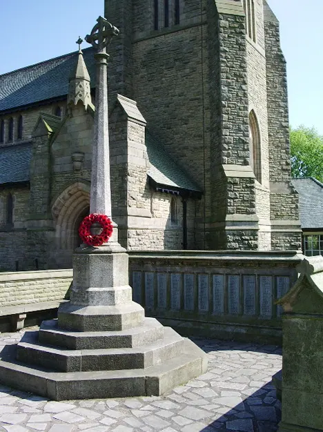
© Alexander P Kapp · Geograph · CC BY-SA 2.0
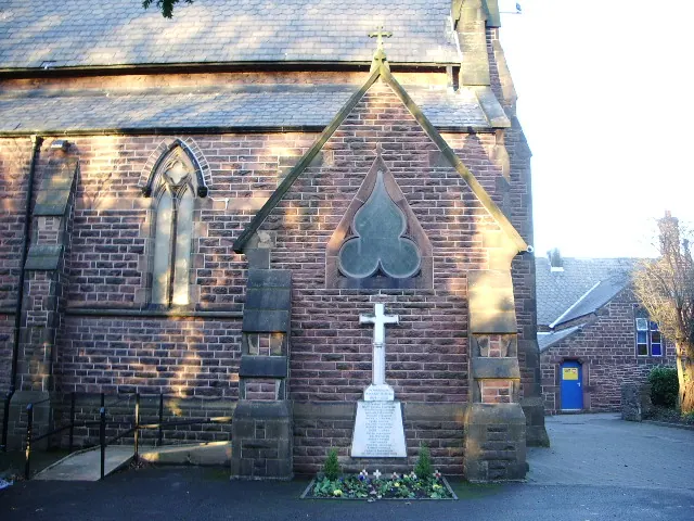
© Alexander P Kapp · Geograph · CC BY-SA 2.0
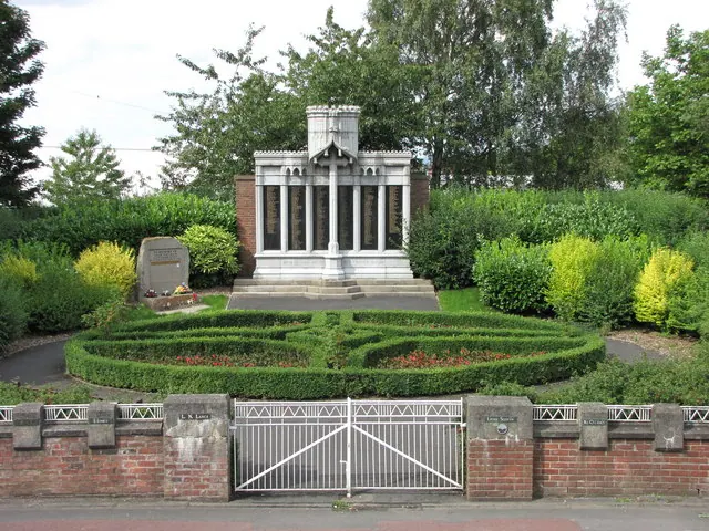
© John Tustin · Geograph · CC BY-SA 2.0
Images © their respective photographers, licensed under CC BY-SA 2.0 and reused here with attribution. Photographs depict listed buildings, churches and monuments near this settlement and may show neighbouring villages.
Data derived from the Open Domesday project (opendomesday.org), based on the Domesday Book dataset compiled by Professor J.J.N. Palmer and team. The Domesday Book (1086) is in the public domain.
Found an inaccuracy? [email protected]