Leyburn in the Domesday Book (1086)
Leyburn is named in the Domesday Book, compiled by Norman commissioners in 1086, entered under the hundred of Land of Count Alan in Yorkshire.
Other Settlements in Land of Count Alan
- Achebi
- Agglethorpe
- Ainderby [Mires]
- Ainderby [Quernhow]
- Aiskew
- Aldbrough
- Allerthorpe [Hall]
- Ascam
- Ascham
- Asebi
- Aske [Hall]
- Askrigg
- Aysgarth
- Baldersby
The Meaning of the Name
The origin of the name Leyburn is not securely established from its modern form alone; like many settlement names in the North it likely combines an Old English or Old Norse personal name with a landscape term.
Remarkably, the name has changed little since 1086, when the Domesday scribes wrote it as Leyburn.
Listed Buildings Near Leyburn
Historic England records 35 listed buildings within about a mile of Leyburn. Listing protects structures of special architectural or historic interest, graded I (exceptional), II* (particularly important) and II.
Grade II*
Grade II
- 2 Coal Depot Sheds at Leyburn Station - 0.22 km
- Church of St Matthew - 0.24 km
- The Sandpiper Inn - 0.3 km
- Clyde House - 0.33 km
- Golden Lion Hotel and Railings - 0.36 km
- 25, Market Place - 0.38 km
- Premises of Messrs Tennants - 0.39 km
- 27, Market Place - 0.39 km
- Black Swan Hotel - 0.4 km
- Trevor House - 0.43 km
- Barclays Bank - 0.43 km
- Gate Piers Approximately Four Metres to North East of Trevor House - 0.43 km
- Presbytery, School Room, Outbuildings, Boundary Walls and Railings - 0.44 km
- Fountain Adjoining North East Corner of Town Hall - 0.44 km
- Premises of Messrs Jones - 0.44 km
- Sanderson and Co - 0.45 km
- Premises of C Milner and Sons - 0.45 km
- Prospect House - 0.46 km
- Town Hall - 0.46 km
- War Memorial - 0.47 km
- Lowood House - 0.48 km
- 4 and 5, Grove Square - 0.49 km
- Bolton Arms Hotel - 0.52 km
…and 11 more listed structures in the area.
Leyburn Today
Today Leyburn lies within the administrative area of Richmondshire, and the settlement recorded a population of 2,410 at the 2021 census. Nine and a half centuries separate that figure from the small rural community the Domesday survey recorded here in 1086.
Read more about modern Leyburn on Wikipedia .
Nearby Domesday Settlements
Other places recorded in the 1086 survey within a few miles:
Heritage Around Leyburn
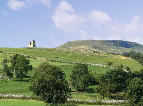
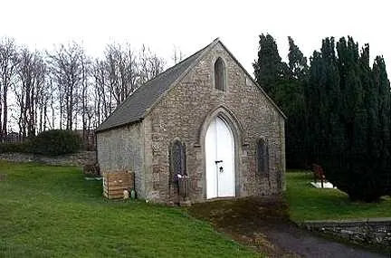
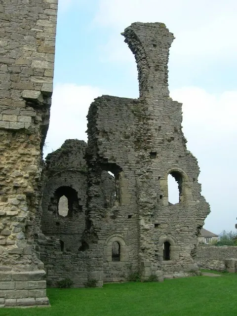
Photographs of churches, listed buildings and monuments in the vicinity, contributed by volunteers to the Geograph project and reused here under a Creative Commons licence.
© Anthony Harrison · Geograph · CC BY-SA 2.0
© Bill Henderson · Geograph · CC BY-SA 2.0
© JThomas · Geograph · CC BY-SA 2.0
Images © their respective photographers, licensed under CC BY-SA 2.0 and reused here with attribution. Photographs depict listed buildings, churches and monuments near this settlement and may show neighbouring villages.
Location
54.3098°N, -1.8232°W · Land of Count Alan hundred, Yorkshire
View larger map on OpenStreetMap →Data derived from the Open Domesday project (opendomesday.org), based on the Domesday Book dataset compiled by Professor J.J.N. Palmer and team. The Domesday Book (1086) is in the public domain.
Found an inaccuracy? [email protected]