Leuetat in the Domesday Book (1086)
The 1086 Domesday survey records the settlement of Leuetat, entered under the hundred of Craven in Yorkshire.
Other Settlements in Craven
- Addingham
- Airton
- Anley
- Appletreewick
- Arncliffe
- Arnford
- Barnoldswick
- Bashall [Eaves]
- Battersby [Barn]
- Beamsley
- Birkby [Hall]
- Bogeuurde
- Bolton [Abbey]
- Bolton [by Bowland]
The Meaning of the Name
The origin of the name Leuetat is not securely established from its modern form alone; like many settlement names in the North it likely combines an Old English or Old Norse personal name with a landscape term.
Remarkably, the name has changed little since 1086, when the Domesday scribes wrote it as Leuetat.
Listed Buildings Near Leuetat
Historic England records 14 listed buildings within about a mile of Leuetat. Listing protects structures of special architectural or historic interest, graded I (exceptional), II* (particularly important) and II.
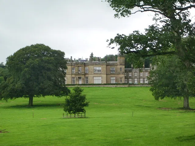
Grade II*
- Eshton Hall - 0.95 km
- Brockabank - 1.22 km
Grade II
- Flasby Hall - 0.14 km
- Grange Farmhouse - 0.2 km
- Flasby Hall Farmhouse and Adjoining Barn - 0.26 km
- Flasby Hall: Tower - 0.27 km
- Flasby Top Cottage - 0.33 km
- Terrace Wall of Eshton Hall - 0.92 km
- Gatepiers and Gates at Eshton Hall - 1.0 km
- Eshton Mews the Coach House - 1.0 km
- Railings to Either Side of Eshton Road to West of Eshton Hall - 1.04 km
- Barn on Road 200 Metres West of Eshton Hall - 1.05 km
- Home Farmhouse and the Lodge - 1.07 km
- Eshton Grange - 1.26 km
Scheduled Monuments Near Leuetat
Scheduled monuments are nationally important archaeological sites given legal protection. 2 lie within roughly a mile of Leuetat:
- Cup marked rock in wall east of Scarnber Wood, 500m north east of Bark Laithe, Winterburn - 0.9 km
- High Wood bowl barrow - 0.9 km
Leuetat Today
Today Leuetat lies within the administrative area of Flasby with Winterburn.
Read more about modern Flasby on Wikipedia .
Nearby Domesday Settlements
Other places recorded in the 1086 survey within a few miles:
- Flasby - 0.0 km N
- Eshton - 1.0 km W
- Holme House - 2.0 km S
- Winterburn - 2.2 km NW
- Hetton - 2.8 km NE
- Gargrave - 3.2 km S
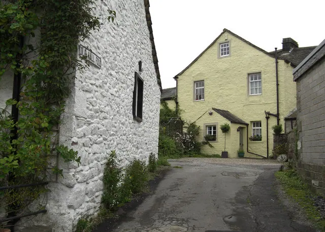
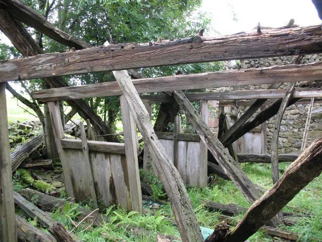
Heritage Around Leuetat
Photographs of churches, listed buildings and monuments in the vicinity, contributed by volunteers to the Geograph project and reused here under a Creative Commons licence.
© michael ely · Geograph · CC BY-SA 2.0
© Stephen Craven · Geograph · CC BY-SA 2.0
© Alexander P Kapp · Geograph · CC BY-SA 2.0
Images © their respective photographers, licensed under CC BY-SA 2.0 and reused here with attribution. Photographs depict listed buildings, churches and monuments near this settlement and may show neighbouring villages.
Data derived from the Open Domesday project (opendomesday.org), based on the Domesday Book dataset compiled by Professor J.J.N. Palmer and team. The Domesday Book (1086) is in the public domain.
Found an inaccuracy? [email protected]