Lepton in the Domesday Book (1086)
Lepton appears in the Domesday Book of 1086, entered under the hundred of Agbrigg in Yorkshire.
Other Settlements in Agbrigg
- Ackton
- Almondbury
- Austonley
- Bradley
- Cartworth
- Crigglestone
- Crofton
- Dalton
- Emley
- Farnley [Tyas]
- Flockton
- Fulstone
- Golcar
- Hepworth
The Meaning of the Name
The name Lepton is of Anglo-Saxon origin. Its final element derives from the Old English word tūn, a farmstead or village. The first element is most likely a personal name or an early descriptive term, now difficult to recover with certainty. Taken together the name probably meant something close to ‘a farmstead’.
Remarkably, the name has changed little since 1086, when the Domesday scribes wrote it as Lepton.
Listed Buildings Near Lepton
Historic England records 7 listed buildings within about a mile of Lepton. Listing protects structures of special architectural or historic interest, graded I (exceptional), II* (particularly important) and II.
Grade II
- 4.25 Miles Post 150 Yards East of White Horse Inn - 0.34 km
- Thorne’s Farmhouse - 0.6 km
- Principal barn at Thorne’s Farm, to west of group - 0.64 km
- Church of St John the Evangelist - 0.72 km
- 8, 14 and 16, Green Balk Lane - 0.77 km
- 18, Green Balk Lane - 0.78 km
- 118 and 120, Botany Lane - 1.23 km
Lepton Today
Today Lepton lies within the administrative area of Kirkburton.
Read more about modern Lepton on Wikipedia .
Nearby Domesday Settlements
Other places recorded in the 1086 survey within a few miles:
- Lower Whitley - 2.8 km NE
- Kirkheaton - 2.8 km NW
- Upper Denby - 3.2 km E
- Dalton - 3.2 km W
- Flockton - 3.2 km E
- Kirkburton - 3.2 km S
Heritage Around Lepton
Photographs of churches, listed buildings and monuments in the vicinity, contributed by volunteers to the Geograph project and reused here under a Creative Commons licence.
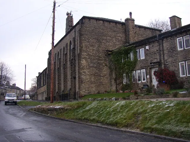
© Humphrey Bolton · Geograph · CC BY-SA 2.0
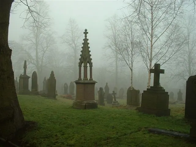
© steve taylor · Geograph · CC BY-SA 2.0
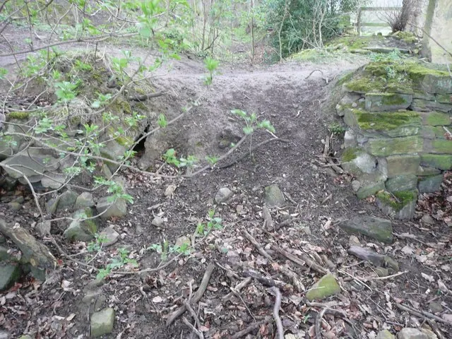
© Humphrey Bolton · Geograph · CC BY-SA 2.0
Images © their respective photographers, licensed under CC BY-SA 2.0 and reused here with attribution. Photographs depict listed buildings, churches and monuments near this settlement and may show neighbouring villages.
Data derived from the Open Domesday project (opendomesday.org), based on the Domesday Book dataset compiled by Professor J.J.N. Palmer and team. The Domesday Book (1086) is in the public domain.
Found an inaccuracy? [email protected]