Leppington in the Domesday Book (1086)
Leppington is named in the Domesday Book, compiled by Norman commissioners in 1086, entered under the hundred of Acklam in Yorkshire. The survey assessed Leppington at 18.5 carucates of taxable land.
The survey records Leppington’s value at 0d in 1086. No pre-Conquest figure survives – not unusual in the North, where records were disrupted by the Harrying and by the patchy coverage of the survey.
The Domesday survey records Leppington as waste - uninhabited and unproductive. In Yorkshire, this designation most often reflects the Harrying of the North of 1069–70, when William I’s forces destroyed crops, livestock, and communities across the county to crush rebellion. Whether Leppington recovered in subsequent decades is not recorded.
The survey lists 2 manors at Leppington under different lords. Splitting a single settlement between multiple tenants was common across the North – Saxon estates broken up and handed to William’s followers after 1066.
Other Settlements in Acklam
- Acklam
- Barthorpe [Grange]
- Bugthorpe
- Burythorpe
- Eddlethorpe
- Firby
- Fridaythorpe
- Garrowby [Hall]
- Howsham
- Kirby [Underdale]
- Kirkham
- Leavening
- Menethorpe
- Raisthorpe
The Meaning of the Name
The name Leppington is of Anglo-Saxon origin. Its final element derives from the Old English word tūn, a farmstead or village. The first element is most likely a personal name or an early descriptive term, now difficult to recover with certainty. Taken together the name probably meant something close to ‘a farmstead’.
Remarkably, the name has changed little since 1086, when the Domesday scribes wrote it as Leppington.
Listed Buildings Near Leppington
Historic England records 1 listed building within about a mile of Leppington. Listing protects structures of special architectural or historic interest, graded I (exceptional), II* (particularly important) and II.
Grade II
- Leppington Grange Barn - 0.89 km
Scheduled Monuments Near Leppington
Scheduled monuments are nationally important archaeological sites given legal protection. 1 lies within roughly a mile of Leppington:
- Part of Leppington medieval village, a moated site and site of the former parish church of St Helen - 0.32 km
Leppington Today
Today Leppington lies within the administrative area of Scrayingham.
Read more about modern Leppington on Wikipedia .
Nearby Domesday Settlements
Other places recorded in the 1086 survey within a few miles:
- Acklam - 2.0 km E
- Barthorpe Grange - 2.2 km SE
- Leavening - 2.8 km NE
- Leavening - 2.8 km NE
- Scrayingham - 3.2 km W
- Howsham - 3.2 km W
Heritage Around Leppington
Photographs of churches, listed buildings and monuments in the vicinity, contributed by volunteers to the Geograph project and reused here under a Creative Commons licence.
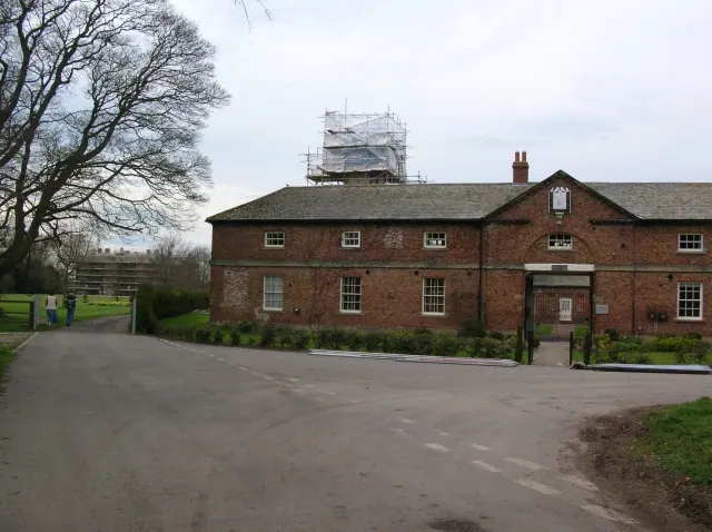
© DS Pugh · Geograph · CC BY-SA 2.0
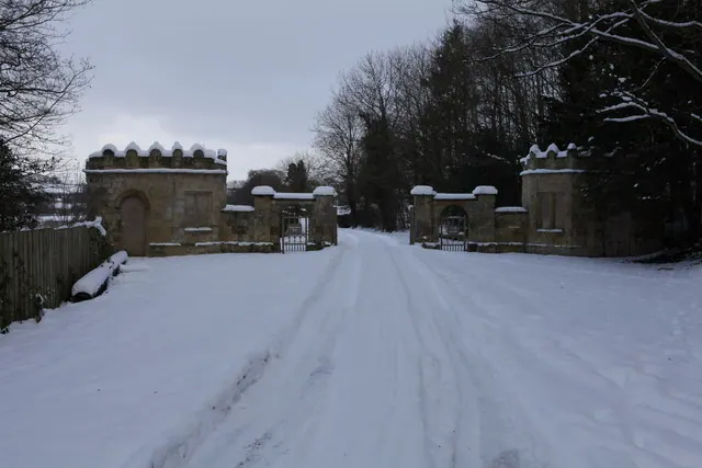
© Michael Jagger · Geograph · CC BY-SA 2.0
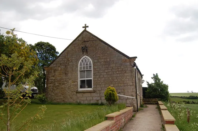
© SMJ · Geograph · CC BY-SA 2.0
Images © their respective photographers, licensed under CC BY-SA 2.0 and reused here with attribution. Photographs depict listed buildings, churches and monuments near this settlement and may show neighbouring villages.
Data derived from the Open Domesday project (opendomesday.org), based on the Domesday Book dataset compiled by Professor J.J.N. Palmer and team. The Domesday Book (1086) is in the public domain.
Found an inaccuracy? [email protected]