Leighton in the Domesday Book (1086)
Leighton appears in the Domesday Book of 1086, entered under the hundred of Hamestan in Cheshire.
Other Settlements in Hamestan
- Adlington
- Bosley
- Bramhall
- Bredbury
- Butley
- Capesthorne
- Cheadle
- Chelford
- Cranage
- Gawsworth
- Henbury
- Hollingworth
- Hungrewenitune
- Kermincham
The Meaning of the Name
The name Leighton is of Anglo-Saxon origin. Its final element derives from the Old English word tūn, a farmstead or village. The first element is most likely a personal name or an early descriptive term, now difficult to recover with certainty. Taken together the name probably meant something close to ‘a farmstead’.
Remarkably, the name has changed little since 1086, when the Domesday scribes wrote it as Leighton.
Listed Buildings Near Leighton
Historic England records 47 listed buildings within about a mile of Leighton. Listing protects structures of special architectural or historic interest, graded I (exceptional), II* (particularly important) and II.
Grade II
- Bridge number 4 (Shepley’s Bridge) Macclesfield Canal - 0.11 km
- Barnsfold Manor Farm - 0.22 km
- 2, SHEPLEY LANE (See details for further address information) - 0.27 km
- Manor House - 0.29 km
- Bridge Number 5 (Barnsfold Bridge) Macclesfield Canal - 0.31 km
- 81 and 83, Upper Hibbert Lane - 0.37 km
- Milestone at Sj 9566 8694 on Macclesfield Canal - 0.4 km
- Cotefield - 0.49 km
- Barn Attached to 261 Windlehurst Old Road (Which Is Not of Special Interest) - 0.65 km
- Lychgate to Church of All Saints - 0.7 km
- Bridge Number 6 (Broadhurst’s Bridge) Macclesfield Canal - 0.71 km
- War memorial outside All Saints’ Church, Marple - 0.71 km
- New Church of All Saints - 0.72 km
- Remains of Church of All Saints - 0.73 km
- Stabling North West of Tower of All Saints’ Church - 0.73 km
- Hearse House, North West of Tower of All Saints Church - 0.73 km
- 149, 151 and 153, Church Lane - 0.75 km
- Bridge Number 7 (Hyde Road Footbridge) Macclesfield Canal - 0.84 km
- The Shanty, Stable Block, Boundary Wall, Gates and Piers - 0.87 km
- Bridge Number 2 (Church Lane Bridge) Macclesfield Canal - 0.95 km
- Rose Lea - 1.02 km
- Routing Walls Bridge (Number 21) on Peak Forest Canal - 1.04 km
- Canal Warehouse Adjacent to Bridge Number 1 (Junction Bridge), on Macclesfield Canal - 1.05 km
- Toll House Opposite Top Lock - 1.08 km
…and 23 more listed structures in the area.
Scheduled Monuments Near Leighton
Scheduled monuments are nationally important archaeological sites given legal protection. 1 lies within roughly a mile of Leighton:
- Oldknow’s limekilns, Strines Road - 1.19 km
Leighton Today
Today Leighton lies within the administrative area of Stockport.
Read more about modern Hawk Green on Wikipedia .
Nearby Domesday Settlements
Other places recorded in the 1086 survey within a few miles:
Heritage Around Leighton
Photographs of churches, listed buildings and monuments in the vicinity, contributed by volunteers to the Geograph project and reused here under a Creative Commons licence.
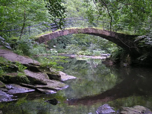
© Dave Dunford · Geograph · CC BY-SA 2.0
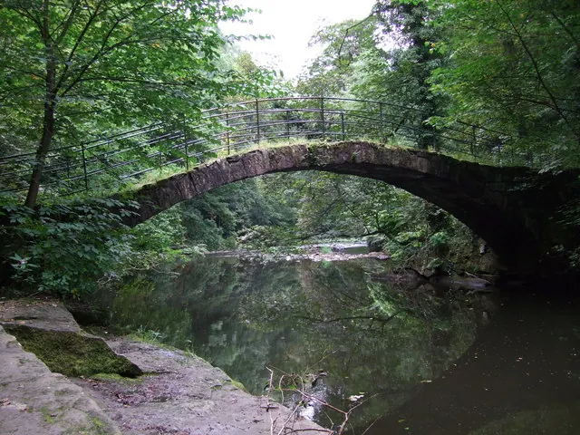
© Adie Jackson · Geograph · CC BY-SA 2.0
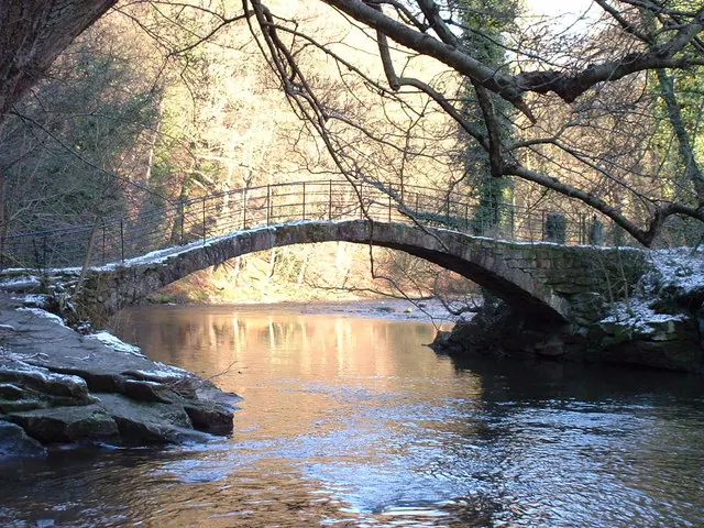
© Peter Fuller · Geograph · CC BY-SA 2.0
Images © their respective photographers, licensed under CC BY-SA 2.0 and reused here with attribution. Photographs depict listed buildings, churches and monuments near this settlement and may show neighbouring villages.
Data derived from the Open Domesday project (opendomesday.org), based on the Domesday Book dataset compiled by Professor J.J.N. Palmer and team. The Domesday Book (1086) is in the public domain.
Found an inaccuracy? [email protected]