Leftwich in the Domesday Book (1086)
Leftwich is named in the Domesday Book, compiled by Norman commissioners in 1086, entered under the hundred of Middlewich in Cheshire.
Other Settlements in Middlewich
- Alsager
- Bostock
- Brereton
- Byley
- Clive
- Congleton
- Croxton
- Davenham
- Davenport
- Goostrey
- Hassall
- Kinderton
- Lach [Dennis]
- Middlewich
The Meaning of the Name
The name Leftwich is of Anglo-Saxon origin. Its final element derives from the Old English word wīc, a dwelling or (in Cheshire) a salt-working settlement. The first element is most likely a personal name or an early descriptive term, now difficult to recover with certainty. Taken together the name probably meant something close to ‘a salt town’.
Remarkably, the name has changed little since 1086, when the Domesday scribes wrote it as Leftwich.
Listed Buildings Near Leftwich
Historic England records 18 listed buildings within about a mile of Leftwich. Listing protects structures of special architectural or historic interest, graded I (exceptional), II* (particularly important) and II.
Grade II
- Nos 256,258,260,262,264,266 and 268 - 0.44 km
- Hunt’s Locks - 0.46 km
- Mile Post at Sj 6604 7227 - 0.48 km
- Former Verdin Technical Schools & Gymnasium, Northwich - 0.54 km
- The Brockhurst - 0.67 km
- Weir East of Hunt’s Lock, With Footbridge - 0.69 km
- Weaver Hall - 0.71 km
- Weaver Railway Viaduct - 0.76 km
- Dock Road Pumping Station - 0.76 km
- Navigation House - 0.9 km
- Hartford Manor - 0.91 km
- Stable Block With Attached Outbuildings, Walls and Gateway at Navigation House - 0.91 km
- Cassantree - 1.07 km
- Church of the Holy Trinity - 1.08 km
- British Waterways Board Area Office - 1.09 km
- Clock Tower Between British Waterways Board Office and River Weaver - 1.11 km
- Hayhurst Bridge Over Weaver Navigation, and Control Cabin - 1.13 km
- Gates and Gatepiers to Verdin Park - 1.28 km
Leftwich Today
Today Leftwich lies within the administrative area of Northwich.
Read more about modern Leftwich on Wikipedia .
Nearby Domesday Settlements
Other places recorded in the 1086 survey within a few miles:
Heritage Around Leftwich
Photographs of churches, listed buildings and monuments in the vicinity, contributed by volunteers to the Geograph project and reused here under a Creative Commons licence.
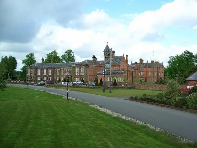
© Steve Leech · Geograph · CC BY-SA 2.0
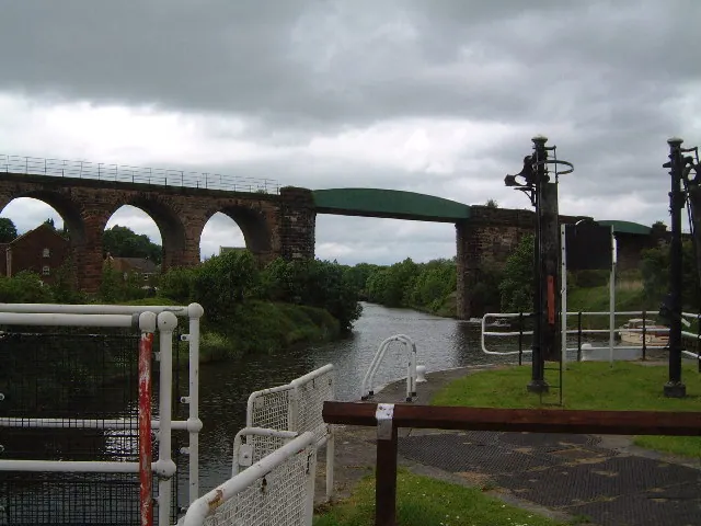
© Colin Wynne-Parle · Geograph · CC BY-SA 2.0
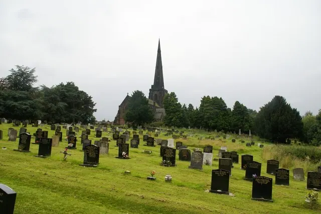
© Jeff Tomlinson · Geograph · CC BY-SA 2.0
Images © their respective photographers, licensed under CC BY-SA 2.0 and reused here with attribution. Photographs depict listed buildings, churches and monuments near this settlement and may show neighbouring villages.
Data derived from the Open Domesday project (opendomesday.org), based on the Domesday Book dataset compiled by Professor J.J.N. Palmer and team. The Domesday Book (1086) is in the public domain.
Found an inaccuracy? [email protected]