Leavening in the Domesday Book (1086)
The 1086 Domesday survey records the settlement of Leavening, entered under the hundred of Acklam in Yorkshire. The survey assessed Leavening at 24 carucates of taxable land.
1 of 2 manors within Leavening are recorded as waste in 1086, with the remainder still productive. This partial devastation suggests the settlement was caught in the path of the Harrying of the North but not entirely destroyed - or that recovery had begun in some holdings by the time of the survey.
The survey lists 2 manors at Leavening under different lords. Splitting a single settlement between multiple tenants was common across the North – Saxon estates broken up and handed to William’s followers after 1066.
Other Settlements in Acklam
- Acklam
- Barthorpe [Grange]
- Bugthorpe
- Burythorpe
- Eddlethorpe
- Firby
- Fridaythorpe
- Garrowby [Hall]
- Howsham
- Kirby [Underdale]
- Kirkham
- Leppington
- Menethorpe
- Raisthorpe
The Meaning of the Name
The origin of the name Leavening is not securely established from its modern form alone; like many settlement names in the North it likely combines an Old English or Old Norse personal name with a landscape term.
Remarkably, the name has changed little since 1086, when the Domesday scribes wrote it as Leavening.
Listed Buildings Near Leavening
Historic England records 5 listed buildings within about a mile of Leavening. Listing protects structures of special architectural or historic interest, graded I (exceptional), II* (particularly important) and II.
Grade II
- Mount Pleasant Farmhouse - 0.35 km
- Southfield Farmhouse - 0.47 km
- Brook House - 0.53 km
- Madeira Cottage - 0.68 km
- Mount Farmhouse - 1.28 km
Scheduled Monuments Near Leavening
Scheduled monuments are nationally important archaeological sites given legal protection. 6 lie within roughly a mile of Leavening:
- Mount Ferrant: a motte and bailey castle - 1.12 km
- Aldro earthworks: a bowl barrow, a square barrow and part of a cross-dyke on Leavening Wold - 1.33 km
- Acklam Wold barrow group: two bowl barrows on Wooing Nab - 1.38 km
- Acklam Wold barrow group: a bowl barrow on Wooing Nab - 1.38 km
- Acklam Wold barrow group: a bowl barrow 300m north-west of Acklam Wold House - 1.5 km
- Acklam Wold barrow group: a bowl barrow 220m north-west of Acklam Wold House - 1.54 km
Leavening Today
Today Leavening lies within the administrative area of Ryedale, and the settlement recorded a population of 345 at the 2021 census. Nine and a half centuries separate that figure from the small rural community the Domesday survey recorded here in 1086.
Read more about modern Leavening on Wikipedia .
Nearby Domesday Settlements
Other places recorded in the 1086 survey within a few miles:
- Leavening - 0.0 km N
- Burythorpe - 1.4 km NE
- Acklam - 2.0 km S
- Leppington - 2.8 km SW
- Kennythorpe - 3.0 km N
- Birdsall - 3.2 km E
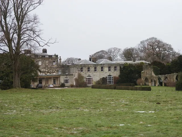
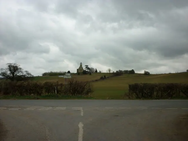
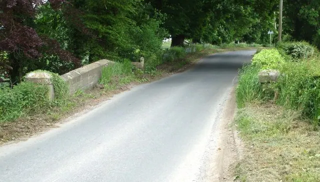
Heritage Around Leavening
Photographs of churches, listed buildings and monuments in the vicinity, contributed by volunteers to the Geograph project and reused here under a Creative Commons licence.
© SMJ · Geograph · CC BY-SA 2.0
© Ian S · Geograph · CC BY-SA 2.0
© Matthew Hatton · Geograph · CC BY-SA 2.0
Images © their respective photographers, licensed under CC BY-SA 2.0 and reused here with attribution. Photographs depict listed buildings, churches and monuments near this settlement and may show neighbouring villages.
Data derived from the Open Domesday project (opendomesday.org), based on the Domesday Book dataset compiled by Professor J.J.N. Palmer and team. The Domesday Book (1086) is in the public domain.
Found an inaccuracy? [email protected]