Leathley in the Domesday Book (1086)
The settlement of Leathley is recorded in William I’s Domesday survey of 1086, entered under the hundred of Burghshire in Yorkshire.
Other Settlements in Burghshire
- Addlethorpe
- Aismunderby
- Aldfield
- Allerton [Mauleverer]
- Arkendale
- Askwith
- Azerley
- Barrowby [Grange]
- Beckwith [House]
- Besthaim
- Bestham
- Bewerley
- Bilton
- Birstwith
The Meaning of the Name
The name Leathley is of Anglo-Saxon origin. Its final element derives from the Old English word lēah, a woodland clearing or glade. The first element is most likely a personal name or an early descriptive term, now difficult to recover with certainty. Taken together the name probably meant something close to ‘a clearing’.
Remarkably, the name has changed little since 1086, when the Domesday scribes wrote it as Leathley.
Listed Buildings Near Leathley
Historic England records 19 listed buildings within about a mile of Leathley. Listing protects structures of special architectural or historic interest, graded I (exceptional), II* (particularly important) and II.
Grade I
- Church of St Oswald - 0.62 km
Grade II*
- Methodist Church and Retaining Wall With Gate and Steps - 0.34 km
- Corn Mill - 0.6 km
Grade II
- The Cottage - 0.19 km
- Fishpool Farm - 0.39 km
- Milepost - 0.52 km
- Almshouses - 0.57 km
- The Millhouse - 0.57 km
- K6 Telephone Kiosk Near St Oswald’s Church - 0.58 km
- Stocks Approximately 5 Metres North of East Gate to Church - 0.61 km
- Mounting Block Approximately 5 Metres South of East Gate to Church - 0.62 km
- Stand-pipe, Approximately 30 Metres South of Almshouses - 0.63 km
- Archway With Flanking Ramped Wall, Approximately 120 Metres North-east of Leathley Hall - 0.63 km
- Ye Widgeons Roost, Church Fold - 0.65 km
- Leathley Hall - 0.66 km
- Stables South of Leathley Hall - 0.69 km
- Manor House - 0.79 km
- Leathley Lodge - 1.11 km
- Leathley Bridge Over River Washburn - 1.15 km
Leathley Today
Today Leathley lies within the administrative area of Harrogate, and the settlement recorded a population of 183 at the 2021 census. Nine and a half centuries separate that figure from the small rural community the Domesday survey recorded here in 1086.
Read more about modern Leathley on Wikipedia .
Nearby Domesday Settlements
Other places recorded in the 1086 survey within a few miles:
Heritage Around Leathley
Photographs of churches, listed buildings and monuments in the vicinity, contributed by volunteers to the Geograph project and reused here under a Creative Commons licence.
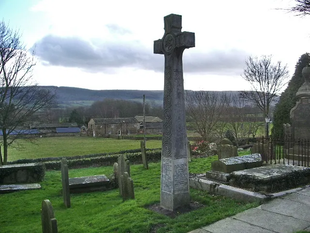
© Alexander P Kapp · Geograph · CC BY-SA 2.0
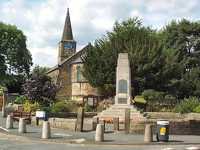
© David Spencer · Geograph · CC BY-SA 2.0
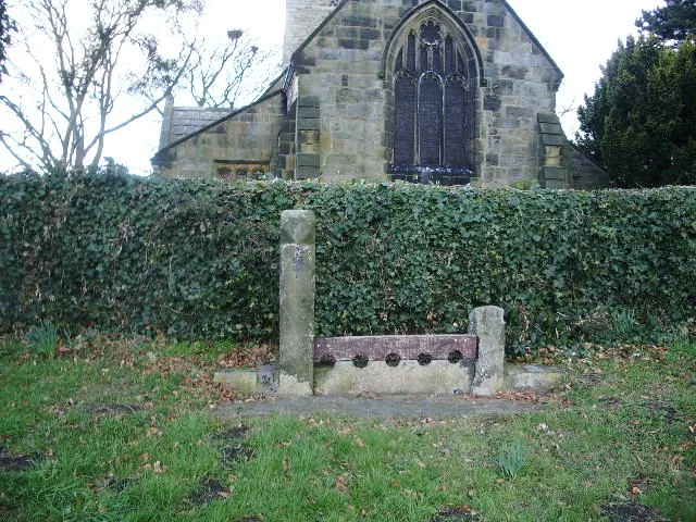
© Alexander P Kapp · Geograph · CC BY-SA 2.0
Images © their respective photographers, licensed under CC BY-SA 2.0 and reused here with attribution. Photographs depict listed buildings, churches and monuments near this settlement and may show neighbouring villages.
Data derived from the Open Domesday project (opendomesday.org), based on the Domesday Book dataset compiled by Professor J.J.N. Palmer and team. The Domesday Book (1086) is in the public domain.
Found an inaccuracy? [email protected]