Lealholm in the Domesday Book (1086)
Lealholm appears in the Domesday Book of 1086, entered under the hundred of Langbaurgh in Yorkshire.
Other Settlements in Langbaurgh
- Acklam
- Airy [Holme]
- Aislaby
- Arnodestorp
- Baldebi
- Barnaby
- Barwick
- Battersby
- Bergolbi
- Berguluesbi
- Blaten [Carr]
- Borrowby
- Breck
- Brotton
The Meaning of the Name
The name Lealholm is of Scandinavian origin. Its final element derives from the Old Norse word holmr, an island or dry ground in marsh. The first element is most likely a personal name or an early descriptive term, now difficult to recover with certainty. Taken together the name probably meant something close to ‘a island’.
Names of this type are a fingerprint of Scandinavian settlement: they cluster across the old Danelaw, where Norse-speaking settlers renamed or founded villages from the late 9th century onward.
Remarkably, the name has changed little since 1086, when the Domesday scribes wrote it as Lealholm.
Listed Buildings Near Lealholm
Historic England records 11 listed buildings within about a mile of Lealholm. Listing protects structures of special architectural or historic interest, graded I (exceptional), II* (particularly important) and II.
Grade II*
- Church of St James the Greater - 0.34 km
- Wesleyan Chapel - 0.5 km
Grade II
- Drinking Fountain to North of Lealholm Bridge - 0.34 km
- Lealholm War Memorial - 0.34 km
- Lealholm Bridge - 0.36 km
- Stepping Stones Antique Shop, Cottage Attached to Right and Outbuilding to Left - 0.38 km
- Farm Building to East of Horse House Farmhouse; and Drinking Fountain - 0.52 km
- Horse House Farmhouse - 0.54 km
- Front Walls, Railings and Gates to Prospect House - 0.59 km
- Prospect House - 0.61 km
- Lealholm Hall - 0.7 km
Scheduled Monuments Near Lealholm
Scheduled monuments are nationally important archaeological sites given legal protection. 2 lie within roughly a mile of Lealholm:
- Round barrow on Lealholm Rigg, 690m north of Benwell House - 1.44 km
- Round barrow on Lealholm Rigg, 710m south west of Green Houses Farm - 1.56 km
Lealholm Today
Today Lealholm lies within the administrative area of Glaisdale, and the settlement recorded a population of 383 at recent figures. Nine and a half centuries separate that figure from the small rural community the Domesday survey recorded here in 1086.
Read more about modern Lealholm on Wikipedia .
Nearby Domesday Settlements
Other places recorded in the 1086 survey within a few miles:
- Crunkly Gill - 1.0 km W
- Hangton Hill - 1.0 km S
- Hangton - 4.0 km S
- Egton - 4.1 km E
- Ugthorpe - 5.0 km NE
- Mickleby - 6.4 km NE
Heritage Around Lealholm
Photographs of churches, listed buildings and monuments in the vicinity, contributed by volunteers to the Geograph project and reused here under a Creative Commons licence.
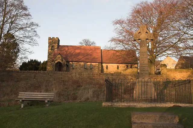
© Colin Grice · Geograph · CC BY-SA 2.0
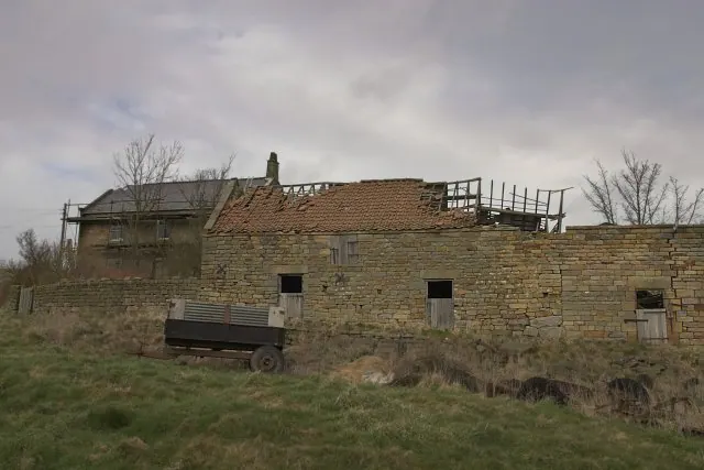
© Colin Grice · Geograph · CC BY-SA 2.0
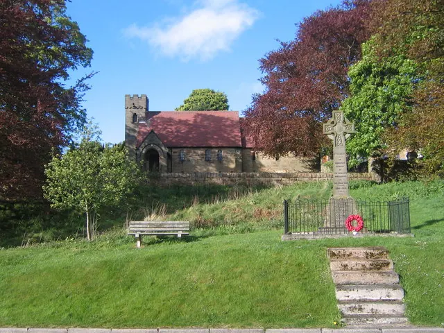
© Philip Barker · Geograph · CC BY-SA 2.0
Images © their respective photographers, licensed under CC BY-SA 2.0 and reused here with attribution. Photographs depict listed buildings, churches and monuments near this settlement and may show neighbouring villages.
Data derived from the Open Domesday project (opendomesday.org), based on the Domesday Book dataset compiled by Professor J.J.N. Palmer and team. The Domesday Book (1086) is in the public domain.
Found an inaccuracy? [email protected]