Lead in the Domesday Book (1086)
The settlement of Lead is recorded in William I’s Domesday survey of 1086, entered under the hundred of Barkston in Yorkshire.
Other Settlements in Barkston
- Barkston
- Barlow
- Birkin
- Bramham
- Brayton
- Burton [Hall]
- Camblesforth
- Carlton
- Clifford
- Drax
- Fairburn
- Grimston [Grange]
- Hambleton
- Hazelwood [Castle]
The Meaning of the Name
The origin of the name Lead is not securely established from its modern form alone; like many settlement names in the North it likely combines an Old English or Old Norse personal name with a landscape term.
Remarkably, the name has changed little since 1086, when the Domesday scribes wrote it as Lead.
Listed Buildings Near Lead
Historic England records 9 listed buildings within about a mile of Lead. Listing protects structures of special architectural or historic interest, graded I (exceptional), II* (particularly important) and II.
Grade I
- Church of All Saints - 1.05 km
Grade II*
- Chapel of St Mary - 0.46 km
Grade II
- School Farm - 1.03 km
- Village Farm - 1.04 km
- White Rose Farm - 1.04 km
- Pigeoncote to School Farm Approximately 5 Metres to North of House - 1.04 km
- Lord Dacre’s Tomb Approximately 3 Metres to North of Church of All Saints - 1.07 km
- Cross Shaft at All Saints Churchyard Approximately 5 Metres to East of Church - 1.08 km
- K6 Telephone Kiosk - 1.1 km
Scheduled Monuments Near Lead
Scheduled monuments are nationally important archaeological sites given legal protection. 2 lie within roughly a mile of Lead:
- Medieval manorial complex, garden and water management features, St Mary’s chapel, and a linear earthwork forming part of the Aberford Dyke system - 0.49 km
- Saxton Castle: a motte and bailey castle with a later medieval manor house and field system including a trackway and fishpond - 1.12 km
Nearby Domesday Settlements
Other places recorded in the 1086 survey within a few miles:
- Saxton - 1.0 km E
- Barkston - 3.0 km E
- Towton - 3.6 km NE
- Hazelwood Castle - 3.6 km NW
- Hunchilhuse - 3.6 km SE
- Hunchilhuses - 3.6 km SE
Heritage Around Lead
Photographs of churches, listed buildings and monuments in the vicinity, contributed by volunteers to the Geograph project and reused here under a Creative Commons licence.
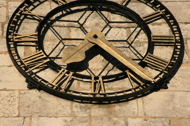
© I Love Colour · Geograph · CC BY-SA 2.0
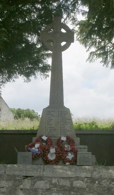
© Betty Longbottom · Geograph · CC BY-SA 2.0
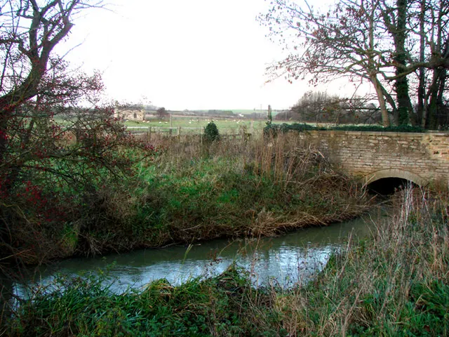
© Bill Henderson · Geograph · CC BY-SA 2.0
Images © their respective photographers, licensed under CC BY-SA 2.0 and reused here with attribution. Photographs depict listed buildings, churches and monuments near this settlement and may show neighbouring villages.
Data derived from the Open Domesday project (opendomesday.org), based on the Domesday Book dataset compiled by Professor J.J.N. Palmer and team. The Domesday Book (1086) is in the public domain.
Found an inaccuracy? [email protected]