Lea in the Domesday Book (1086)
Lea is named in the Domesday Book, compiled by Norman commissioners in 1086, entered under the hundred of Hamston in Derbyshire.
Other Settlements in Hamston
- Alsop [-en-le-Dale]
- Ashbourne
- Atlow
- Ballidon
- Bonsall
- Bradbourne
- Brassington
- Broadlowash
- Callow
- Carsington
- Cowley
- Cromford
- Elton
- Hanson [Grange]
The Meaning of the Name
The origin of the name Lea is not securely established from its modern form alone; like many settlement names in the North it likely combines an Old English or Old Norse personal name with a landscape term.
Remarkably, the name has changed little since 1086, when the Domesday scribes wrote it as Lea.
Listed Buildings Near Lea
Historic England records 21 listed buildings within about a mile of Lea. Listing protects structures of special architectural or historic interest, graded I (exceptional), II* (particularly important) and II.
Grade II*
- Lea Hall, Gatepier and Boundary Wall to the North - 0.27 km
- Manor Farmhouse - 0.98 km
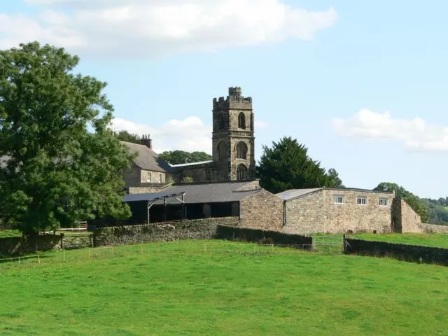
- Church of St John the Baptist - 1.02 km
Grade II
- The Farm - 0.36 km
- Former Threshing Barn to the South of the Farm - 0.36 km
- Cottage Attached to West of the Farm - 0.37 km
- Cowhouse and Piggery to East of Cowley Cottage - 0.41 km
- Catmint Cottage and Attached Boundary Wall - 0.43 km
- Cowley Cottage - 0.43 km
- High Croft - 0.47 km
- Lea Methodist Church - 0.6 km
- Rose Cottage - 0.93 km
- Greenbank Cottage - 0.94 km
- Nos. 1 and 2 the Row - 0.95 km
- The Jug and Glass Public House - 0.96 km
- Babington Farmhouse - 0.99 km
- Small Outbuilding North of Manor Farmhouse - 1.0 km
- Outbuilding to the North West of Babington Farmhouse - 1.02 km
- Outbuilding to the North North West of Babington Farmhouse - 1.03 km
- Church Farmhouse - 1.03 km
- Barn to the North of Church Farmhouse - 1.04 km
Lea Today
Today Lea lies within the administrative area of Dethick, Lea and Holloway.
Nearby Domesday Settlements
Other places recorded in the 1086 survey within a few miles:
- Shuckstone - 1.0 km E
- Tansley - 2.2 km NW
- Crich - 3.6 km SE
- Wessington - 4.0 km E
- Cromford - 4.1 km W
- South? Wingfield - 4.5 km SE
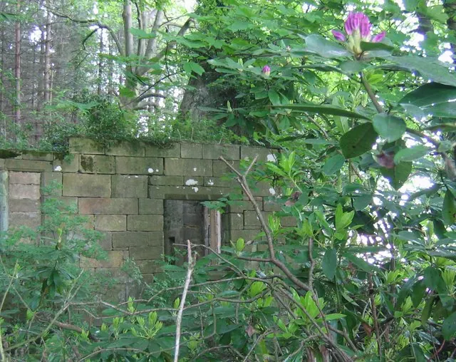
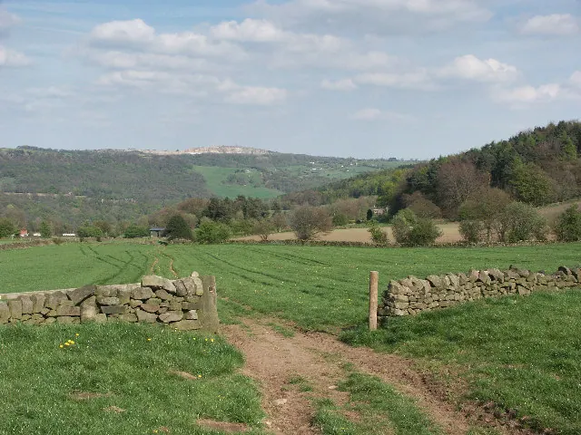
Heritage Around Lea
Photographs of churches, listed buildings and monuments in the vicinity, contributed by volunteers to the Geograph project and reused here under a Creative Commons licence.
© Nikki Mahadevan · Geograph · CC BY-SA 2.0
© Mike Fowkes · Geograph · CC BY-SA 2.0
© Stephen Elwyn RODDICK · Geograph · CC BY-SA 2.0
Images © their respective photographers, licensed under CC BY-SA 2.0 and reused here with attribution. Photographs depict listed buildings, churches and monuments near this settlement and may show neighbouring villages.
Data derived from the Open Domesday project (opendomesday.org), based on the Domesday Book dataset compiled by Professor J.J.N. Palmer and team. The Domesday Book (1086) is in the public domain.
Found an inaccuracy? [email protected]