Lazenby in the Domesday Book (1086)
The 1086 Domesday survey records the settlement of Lazenby, entered under the hundred of Langbaurgh in Yorkshire.
Other Settlements in Langbaurgh
- Acklam
- Airy [Holme]
- Aislaby
- Arnodestorp
- Baldebi
- Barnaby
- Barwick
- Battersby
- Bergolbi
- Berguluesbi
- Blaten [Carr]
- Borrowby
- Breck
- Brotton
The Meaning of the Name
The name Lazenby is of Scandinavian origin. Its final element derives from the Old Norse word bý, a farmstead or village. The first element is most likely a personal name or an early descriptive term, now difficult to recover with certainty. Taken together the name probably meant something close to ‘a farmstead’.
Names of this type are a fingerprint of Scandinavian settlement: they cluster across the old Danelaw, where Norse-speaking settlers renamed or founded villages from the late 9th century onward.
Remarkably, the name has changed little since 1086, when the Domesday scribes wrote it as Lazenby.
Listed Buildings Near Lazenby
Historic England records 27 listed buildings within about a mile of Lazenby. Listing protects structures of special architectural or historic interest, graded I (exceptional), II* (particularly important) and II.
Grade II*
- Church of St Cuthbert - 0.74 km
Grade II
- Grange Farmhouse and Farm Cottage - 0.38 km
- Village Hall and Gatepiers - 0.47 km
- 9, Chapel Street - 0.49 km
- 11, Chapel Street - 0.49 km
- Stable Block Circa 10 Metres West of Wilton Castle - 0.55 km
- Retaining Wall and Stair to Forecourt of Wilton Castle - 0.61 km
- Wilton Castle - 0.61 km
- Garden Wall South East of Wilton Castle - 0.66 km
- Lovell Drift Fan House - 0.75 km
- 18-21, Wilton Village - 0.84 km
- 16 and 17, Wilton Village - 0.85 km
- 7 and 8, Wilton Village - 0.92 km
- 9 and 10, Wilton Village - 0.92 km
- Pine Trees and Wall Attached - 0.92 km
- Ivy Cottage - 0.93 km
- 5, Wilton Village - 0.94 km
- Numbers 3 and 4 and Wall Attached - 0.94 km
- K6 Telephone Kiosk 2 Metres West of I.c.i. Estate Workshops - 0.94 km
- Imperial Chemical Industries Estate Workshops - 0.95 km
- 1 and 2, Wilton Village - 0.96 km
- North Lodge - 0.99 km
- Wilton Farmhouse - 1.01 km
- The Cottage Stable Coach House and Coach House Circa 14 Metres East of Wilton Farmhouse - 1.03 km
…and 3 more listed structures in the area.
Scheduled Monuments Near Lazenby
Scheduled monuments are nationally important archaeological sites given legal protection. 11 lie within roughly a mile of Lazenby:
- Bowl barrow 1km north-west of High Court Green - 1.05 km
- Bowl barrow 1.1km north-west of High Court Green - 1.07 km
- Bowl barrow 850m north-west of High Court Green - 1.08 km
- Bowl barrow 800m north of High Barnaby Farm - 1.27 km
- Bowl barrow 1km north-west of Court Green Farm - 1.28 km
- Three bowl barrows on Wilton Moor, 850m north-north-west of High Barnaby Farm - 1.3 km
- Two bowl barrows 700m north-west of High Court Green - 1.31 km
- Bowl barrow 1.1km north-west of High Barnaby Farm - 1.32 km
- Bowl barrow 500m north-west of High Court Green - 1.45 km
- Eston Nab hill fort, palisaded settlement and beacon - 1.46 km
…and 1 more.
Lazenby Today
Today Lazenby lies within the administrative area of Redcar and Cleveland.
Read more about modern Lazenby on Wikipedia .
Nearby Domesday Settlements
Other places recorded in the 1086 survey within a few miles:
Heritage Around Lazenby
Photographs of churches, listed buildings and monuments in the vicinity, contributed by volunteers to the Geograph project and reused here under a Creative Commons licence.
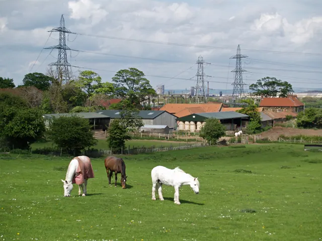
© Stephen McCulloch · Geograph · CC BY-SA 2.0
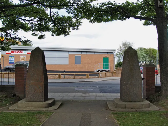
© Stephen McCulloch · Geograph · CC BY-SA 2.0
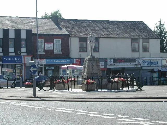
© Rob Pollard · Geograph · CC BY-SA 2.0
Images © their respective photographers, licensed under CC BY-SA 2.0 and reused here with attribution. Photographs depict listed buildings, churches and monuments near this settlement and may show neighbouring villages.
Data derived from the Open Domesday project (opendomesday.org), based on the Domesday Book dataset compiled by Professor J.J.N. Palmer and team. The Domesday Book (1086) is in the public domain.
Found an inaccuracy? [email protected]