Laycock in the Domesday Book (1086)
The settlement of Laycock is recorded in William I’s Domesday survey of 1086, entered under the hundred of Craven in Yorkshire.
Other Settlements in Craven
- Addingham
- Airton
- Anley
- Appletreewick
- Arncliffe
- Arnford
- Barnoldswick
- Bashall [Eaves]
- Battersby [Barn]
- Beamsley
- Birkby [Hall]
- Bogeuurde
- Bolton [Abbey]
- Bolton [by Bowland]
The Meaning of the Name
The origin of the name Laycock is not securely established from its modern form alone; like many settlement names in the North it likely combines an Old English or Old Norse personal name with a landscape term.
Remarkably, the name has changed little since 1086, when the Domesday scribes wrote it as Laycock.
Listed Buildings Near Laycock
Historic England records 19 listed buildings within about a mile of Laycock. Listing protects structures of special architectural or historic interest, graded I (exceptional), II* (particularly important) and II.
Grade II
- Bankhouse Farm - 0.3 km
- Barn Approximately 12 Metres to East of Number 29 (Bankhouse Farm) - 0.33 km
- 10 and 12, Braithwaite Village - 0.37 km
- Manor House - 0.38 km
- Cross Built Into Wall Opposite Well Croft - 0.5 km
- 18, 20, 22, 24 and 26, Main Street - 0.53 km
- Who’s Farmhouse Attached Cottage and Barn - 0.7 km
- Manor House Rose Cottage - 0.7 km
- Number 15 and Attached Barn - 0.71 km
- 82 and 84, Main Street - 0.73 km
- Intake Cottage Intake Farmhouse - 0.96 km
- 11 and 15, Goose Eye - 1.09 km
- Turkey Mill - 1.09 km
- K6 Telephone Kiosk to S of Number 16 - 1.12 km
- 6-16, Goose Eye - 1.12 km
- 22, Goose Eye - 1.16 km
- Goose Eye Bridge - 1.17 km
- 30, 32 and 34, Goose Eye - 1.23 km
- Footbridge Approximately 17 Metres to South West of Rag Mill - 1.26 km
Laycock Today
Today Laycock lies within the administrative area of Keighley.
Read more about modern Laycock on Wikipedia .
Nearby Domesday Settlements
Other places recorded in the 1086 survey within a few miles:
Heritage Around Laycock
Photographs of churches, listed buildings and monuments in the vicinity, contributed by volunteers to the Geograph project and reused here under a Creative Commons licence.
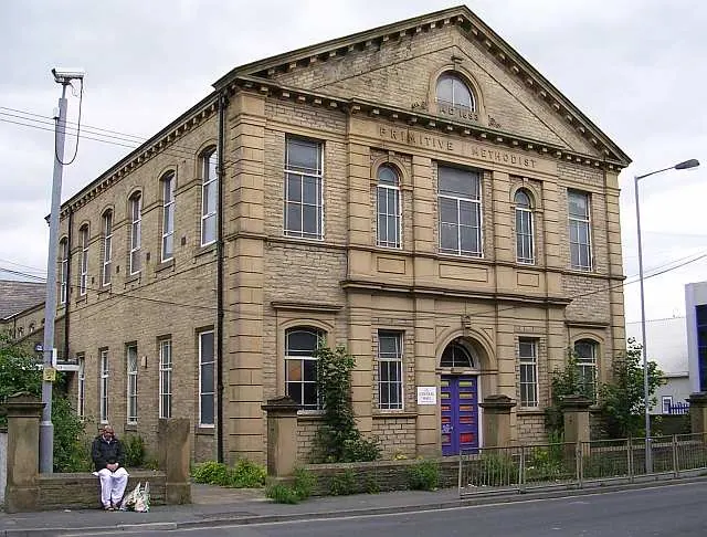
© Betty Longbottom · Geograph · CC BY-SA 2.0
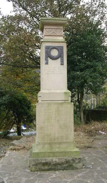
© Betty Longbottom · Geograph · CC BY-SA 2.0
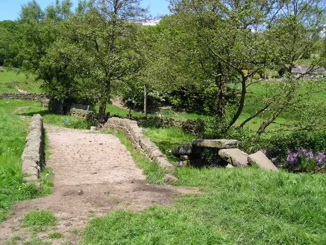
© John Readman · Geograph · CC BY-SA 2.0
Images © their respective photographers, licensed under CC BY-SA 2.0 and reused here with attribution. Photographs depict listed buildings, churches and monuments near this settlement and may show neighbouring villages.
Data derived from the Open Domesday project (opendomesday.org), based on the Domesday Book dataset compiled by Professor J.J.N. Palmer and team. The Domesday Book (1086) is in the public domain.
Found an inaccuracy? [email protected]