Laughton en le Morthen in the Domesday Book (1086)
The 1086 Domesday survey records the settlement of Laughton en le Morthen, entered under the hundred of Strafforth in Yorkshire.
Other Settlements in Strafforth
- Adwick [le Street]
- Adwick [upon Dearne]
- Armthorpe
- Aston
- Attercliffe
- Auckley
- Aughton [Hall]
- Austerfield
- Balby
- Barnbrough
- Barnby [Dun]
- Bentley
- Bilham [House]
- Billingley
The Meaning of the Name
The name Laughton en le Morthen is of Anglo-Saxon origin. Its final element derives from the Old English word tūn, a farmstead or village. The first element is most likely a personal name or an early descriptive term, now difficult to recover with certainty. Taken together the name probably meant something close to ‘a farmstead’.
Remarkably, the name has changed little since 1086, when the Domesday scribes wrote it as Laughton en le Morthen.
Listed Buildings Near Laughton en le Morthen
Historic England records 26 listed buildings within about a mile of Laughton en le Morthen. Listing protects structures of special architectural or historic interest, graded I (exceptional), II* (particularly important) and II.
Grade I
- Church of All Saints - 0.28 km
- Church of St John - 1.14 km
Grade II*
- Thurcroft Hall - 0.99 km
- Stable and Remains of Attached Barn Immediately to South West of Slade Hooton Hall - 1.1 km
- Slade Hooton Hall - 1.12 km
Grade II
- All Saints Church of England (Aided) School - 0.26 km
- No. 2, CHURCH CORNER - 0.3 km
- Stables to North-east of Number 1 (The Vicarage) - 0.33 km
- Nos. 9 and 11, CHURCH CORNER - 0.34 km
- The Vicarage - 0.34 km
- Gateway Approximately 30 Metres to North West of Old Hall Farmhouse - 0.39 km
- Church Farmhouse - 0.41 km
- Old Hall Farmhouse and Attached Outbuilding - 0.42 km
- Outbuilding Approximately 10 Metres to East of Old Hall Farmhouse - 0.43 km
- No. 11, HIGH STREET - 0.54 km
- Manor Farmhouse - 0.57 km
- Lea Cottage, the Cottage, Cobweb Cottage - 0.6 km
- Pear Tree Farmhouse - 0.61 km
- Brookhouse Farmhouse - 0.61 km
- Barn at Manor Farm Approximately 50 Metres to South East of Farmhouse - 0.63 km
- Outbuilding approximately 40 metres to south east of Thurcroft Hall - 0.94 km
- Garden House Approximately 30 Metres to South East of Thurcroft Hall - 0.95 km
- Orchard Enclosure Wall With Attached Steps and Gatepiers to South West of Slade Hooton Hall - 1.02 km
- Wall Enclosing Front Garden to Slade Hooton Hall Including Attached Gatepiers and Gateway - 1.12 km
…and 2 more listed structures in the area.
Scheduled Monuments Near Laughton en le Morthen
Scheduled monuments are nationally important archaeological sites given legal protection. 2 lie within roughly a mile of Laughton en le Morthen:
- Castle Hill motte and bailey castle - 0.25 km
- Slade Hooton medieval settlement and moated site - 1.11 km
Laughton en le Morthen Today
Today Laughton en le Morthen lies within the administrative area of Rotherham, and the settlement recorded a population of 1,240 at the 2021 census. Nine and a half centuries separate that figure from the small rural community the Domesday survey recorded here in 1086.
Read more about modern Laughton en le Morthen on Wikipedia .
Nearby Domesday Settlements
Other places recorded in the 1086 survey within a few miles:
- Slade Hooton - 1.4 km NE
- Throapham - 2.2 km SE
- Brampton en le Morthen - 3.0 km W
- Hooton Levitt - 3.2 km N
- Maltby - 3.2 km N
- Newhall Grange - 3.2 km N
Heritage Around Laughton [en le Morthen]
Photographs of churches, listed buildings and monuments in the vicinity, contributed by volunteers to the Geograph project and reused here under a Creative Commons licence.
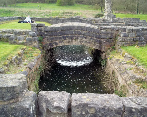
© Steve Fareham · Geograph · CC BY-SA 2.0
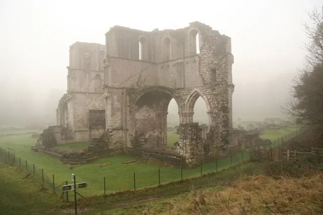
© Richard Croft · Geograph · CC BY-SA 2.0
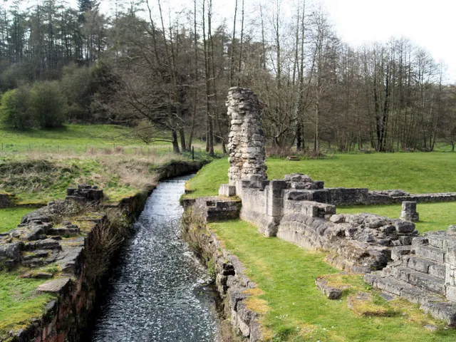
© Steve Fareham · Geograph · CC BY-SA 2.0
Images © their respective photographers, licensed under CC BY-SA 2.0 and reused here with attribution. Photographs depict listed buildings, churches and monuments near this settlement and may show neighbouring villages.
Data derived from the Open Domesday project (opendomesday.org), based on the Domesday Book dataset compiled by Professor J.J.N. Palmer and team. The Domesday Book (1086) is in the public domain.
Found an inaccuracy? [email protected]