Lathom in the Domesday Book (1086)
Lathom appears in the Domesday Book of 1086, entered under the hundred of [West] Derby in Cheshire.
Other Settlements in [West] Derby
- Ainsdale
- Allerton
- Argarmeles
- Aughton
- Barton
- Bootle
- Childwall
- Dalton
- Downholland
- Formby
- Halsall
- Hurlston
- Huyton
- Ince [Blundell]
The Meaning of the Name
The origin of the name Lathom is not securely established from its modern form alone; like many settlement names in the North it likely combines an Old English or Old Norse personal name with a landscape term.
Remarkably, the name has changed little since 1086, when the Domesday scribes wrote it as Lathom.
Listed Buildings Near Lathom
Historic England records 18 listed buildings within about a mile of Lathom. Listing protects structures of special architectural or historic interest, graded I (exceptional), II* (particularly important) and II.
Grade II*
- Lathom House, former west wing - 0.71 km
Grade II
- Ha Ha Bounding East and South Sides of Garden of Former Lathom House - 0.6 km
- Garden Wall Attached to West Wing of Former Lathom House - 0.65 km
- Lathom House Chapel of St John - 0.9 km
- Lathom House Almshouses - 0.92 km
- Stable Block to Rear of Lathom House Almshouses - 0.94 km
- Preston Lodge North With Attached Screen Wall and Gate - 1.09 km
- Preston Lodge South With Attached Screen Wall and Gate - 1.11 km
- Lathom War Memorial - 1.11 km
- Tawd Culvert Approximately 250 Metres West of Spencer’s Bridge - 1.14 km
- The Rookery, With Attached Coach House - 1.17 km
- Lathom Park Church of England Primary School - 1.17 km
- Ormskirk Lodge With Attached Screen Wall and Gate Pier - 1.19 km
- Lathom Lodge and Attached Walls - 1.21 km
- The Croppers - 1.21 km
- Barn Approximately 30 Metres North West of Lowe’s Farmhouse - 1.23 km
- Lowe’s Farmhouse - 1.26 km
- Old Post Office - 1.29 km
Scheduled Monuments Near Lathom
Scheduled monuments are nationally important archaeological sites given legal protection. 1 lies within roughly a mile of Lathom:
- Earthworks in Spa Roughs Wood - 1.03 km
Lathom Today
Today Lathom lies within the administrative area of West Lancashire, and the settlement recorded a population of 892 at the 2021 census. Nine and a half centuries separate that figure from the small rural community the Domesday survey recorded here in 1086.
Read more about modern Lathom on Wikipedia .
Nearby Domesday Settlements
Other places recorded in the 1086 survey within a few miles:
- Skelmersdale - 3.0 km S
- Dalton - 3.2 km E
- Martin - 5.0 km NW
- Hurlston - 6.1 km W
- Up Litherland - 7.0 km W
- Upholland - 7.2 km SE
Heritage Around Lathom
Photographs of churches, listed buildings and monuments in the vicinity, contributed by volunteers to the Geograph project and reused here under a Creative Commons licence.
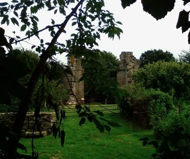
© Dave Hamnett · Geograph · CC BY-SA 2.0
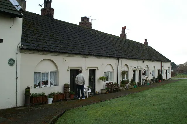
© David Long · Geograph · CC BY-SA 2.0
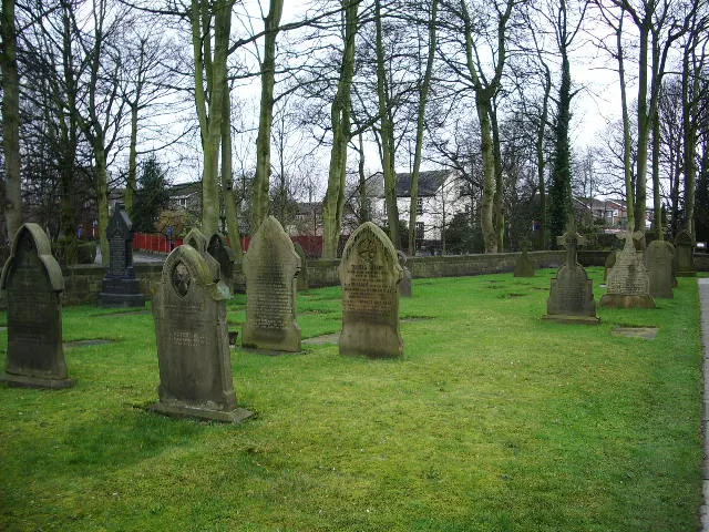
© Alexander P Kapp · Geograph · CC BY-SA 2.0
Images © their respective photographers, licensed under CC BY-SA 2.0 and reused here with attribution. Photographs depict listed buildings, churches and monuments near this settlement and may show neighbouring villages.
Data derived from the Open Domesday project (opendomesday.org), based on the Domesday Book dataset compiled by Professor J.J.N. Palmer and team. The Domesday Book (1086) is in the public domain.
Found an inaccuracy? [email protected]