Lartington in the Domesday Book (1086)
Lartington appears in the Domesday Book of 1086, entered under the hundred of Land of Count Alan in Yorkshire. The survey assessed Lartington at 3 carucates of taxable land.
The survey records Lartington’s value at 0d in 1086. No pre-Conquest figure survives – not unusual in the North, where records were disrupted by the Harrying and by the patchy coverage of the survey.
Other Settlements in Land of Count Alan
- Achebi
- Agglethorpe
- Ainderby [Mires]
- Ainderby [Quernhow]
- Aiskew
- Aldbrough
- Allerthorpe [Hall]
- Ascam
- Ascham
- Asebi
- Aske [Hall]
- Askrigg
- Aysgarth
- Baldersby
The Meaning of the Name
The name Lartington is of Anglo-Saxon origin. Its final element derives from the Old English word tūn, a farmstead or village. The first element is most likely a personal name or an early descriptive term, now difficult to recover with certainty. Taken together the name probably meant something close to ‘a farmstead’.
Remarkably, the name has changed little since 1086, when the Domesday scribes wrote it as Lartington.
Listed Buildings Near Lartington
Historic England records 19 listed buildings within about a mile of Lartington. Listing protects structures of special architectural or historic interest, graded I (exceptional), II* (particularly important) and II.
Grade II*
Grade II
- Shelter Shed 550 Metres South East of Lartington Hall - 0.27 km
- Pecknell Farmhouse - 0.38 km
- Linked Farmbuildings, 20 Metres North of Pecknell Farmhouse - 0.43 km
- Six Flights of Garden Steps With Statues, to the East and South of Lartington Hall - 0.47 km
- Garden Wall, With Statues and 2 Sets of Gate Piers, Adjoining to East of Lartington Hall - 0.48 km
- Gate Piers, End Piers, Gate and Linking Walls at Entrance to Lartington Squash Club - 0.58 km
- Park House - 0.61 km
- Mausoleum/mortuary Chapel 90 Metres North of Yew Trees - 0.66 km
- The Thatch and Smithy Cottage - 0.69 km
- The Nook - 0.72 km
- Tower House - 0.74 km
- The Woodlands - 0.92 km
- Lartington Aqueduct at National Grid Reference 0161 1758 - 0.99 km
- The Beeches - 1.11 km
- Towler Hill Farmhouse - 1.11 km
- The Grove - 1.13 km
- Garden Wall and Gate Piers, South of the Grove - 1.14 km
- Outbuilding, 20 Metres West of the Grove - 1.16 km
Lartington Today
Today Lartington lies within the administrative area of County Durham, and the settlement recorded a population of 130 at the 2021 census. Nine and a half centuries separate that figure from the small rural community the Domesday survey recorded here in 1086.
Read more about modern Lartington on Wikipedia .
Nearby Domesday Settlements
Other places recorded in the 1086 survey within a few miles:
- Cotherstone - 2.2 km NW
- Startforth - 2.8 km SE
- Egglestone Abbey - 4.5 km SE
- Hunderthwaite - 5.6 km NW
- Romaldkirk - 5.8 km NW
- Mortham Tower - 6.7 km SE
Heritage Around Lartington
Photographs of churches, listed buildings and monuments in the vicinity, contributed by volunteers to the Geograph project and reused here under a Creative Commons licence.
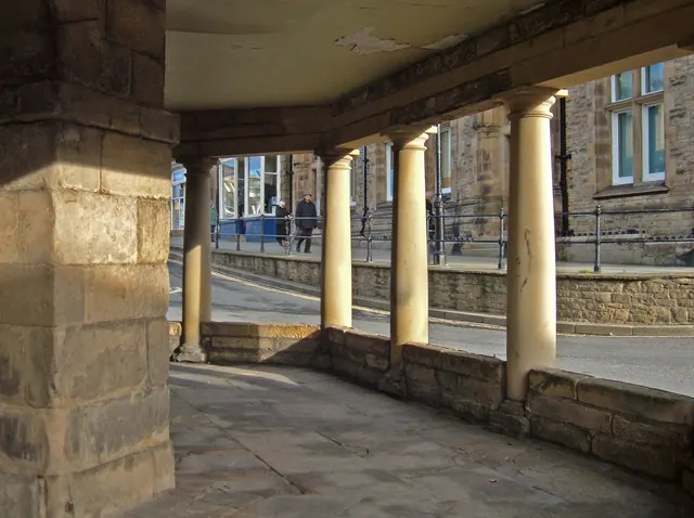
© michael ely · Geograph · CC BY-SA 2.0
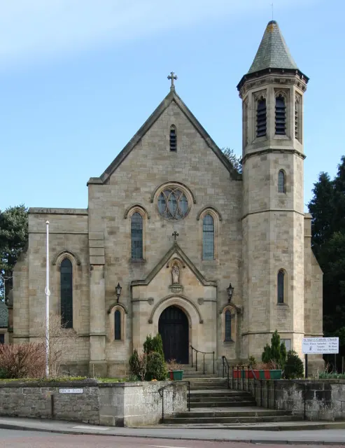
© Andy Waddington · Geograph · CC BY-SA 2.0
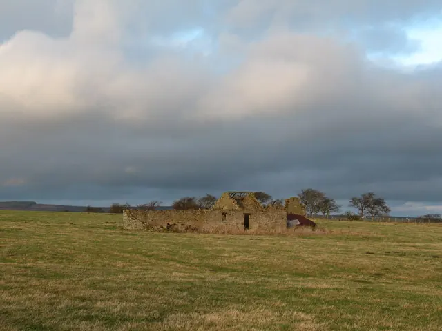
© Gordon Hatton · Geograph · CC BY-SA 2.0
Images © their respective photographers, licensed under CC BY-SA 2.0 and reused here with attribution. Photographs depict listed buildings, churches and monuments near this settlement and may show neighbouring villages.
Location
54.5526°N, -1.9613°W · Land of Count Alan hundred, Yorkshire
View larger map on OpenStreetMap →Data derived from the Open Domesday project (opendomesday.org), based on the Domesday Book dataset compiled by Professor J.J.N. Palmer and team. The Domesday Book (1086) is in the public domain.
Found an inaccuracy? [email protected]