Langton in the Domesday Book (1086)
The 1086 Domesday survey records the settlement of Langton, entered under the hundred of Scard in Yorkshire.
Other Settlements in Scard
- Birdsall
- Buckton [Holms]
- Burdale
- Duggleby
- Kennythorpe
- Linton
- Norton
- Rillington
- Scagglethorpe
- Scampston
- Settrington
- Sutton [Grange]
- Thorpe [Bassett]
- Towthorpe
The Meaning of the Name
The name Langton is of Anglo-Saxon origin. Its final element derives from the Old English word tūn, a farmstead or village. The first element is most likely a personal name or an early descriptive term, now difficult to recover with certainty. Taken together the name probably meant something close to ‘a farmstead’.
Remarkably, the name has changed little since 1086, when the Domesday scribes wrote it as Langton.
Listed Buildings Near Langton
Historic England records 24 listed buildings within about a mile of Langton. Listing protects structures of special architectural or historic interest, graded I (exceptional), II* (particularly important) and II.
Grade II
- Ivy Cottage - 0.35 km
- Green Farmhouse - 0.36 km
- Pair of Cottages Immediately East of Green Farm - 0.37 km
- Post Cottage - 0.38 km
- K6 Telephone Kiosk - 0.4 km
- Milestone Cottage - 0.4 km
- Carriers Farmhouse - 0.4 km
- Ray Cottage - 0.41 km
- Church of Saint Andrew - 0.41 km
- Reading Room Cottage - 0.43 km
- Witham Cottage - 0.43 km
- Town Farmhouse - 0.44 km
- Norcliffe Arms - 0.44 km
- The Post Office - 0.45 km
- Block of Cottages Opposite Reading Room Cottage - 0.45 km
- The Old Cottage - 0.45 km
- Town Farm Barn Implement Shed - 0.45 km
- Entrance Gates to Langton Hall and Flanking Wall - 0.46 km
- The Rectory - 0.46 km
- Cottages to South of Gates to Langton Hall - 0.47 km
- Town Farm Stables - 0.47 km
- Langton Hall - 0.52 km
- Thornthorpe Bridge - 1.07 km
- Thornthorpe Manor House - 1.23 km
Scheduled Monuments Near Langton
Scheduled monuments are nationally important archaeological sites given legal protection. 3 lie within roughly a mile of Langton:
- West Wold Farm round barrow - 1.14 km
- The Three Dykes (or Five Riggs) - 1.43 km
- Hedon Howe tumulus - 1.49 km
Langton Today
Today Langton lies within the administrative area of North Yorkshire, and the settlement recorded a population of 105 at the 2021 census. Nine and a half centuries separate that figure from the small rural community the Domesday survey recorded here in 1086.
Read more about modern Langton on Wikipedia .
Nearby Domesday Settlements
Other places recorded in the 1086 survey within a few miles:
- Thornthorpe - 1.0 km W
- Kennythorpe - 1.4 km SW
- Eddlethorpe - 2.2 km SW
- Welham - 2.2 km NW
- Low Hutton - 3.0 km W
- Menethorpe - 3.0 km W
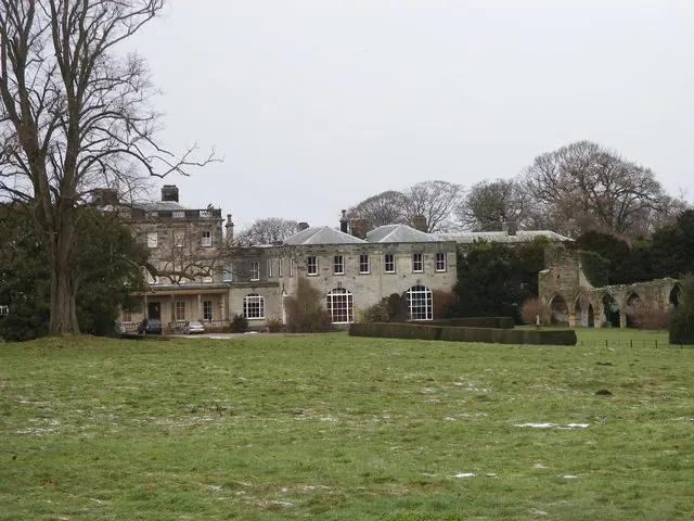
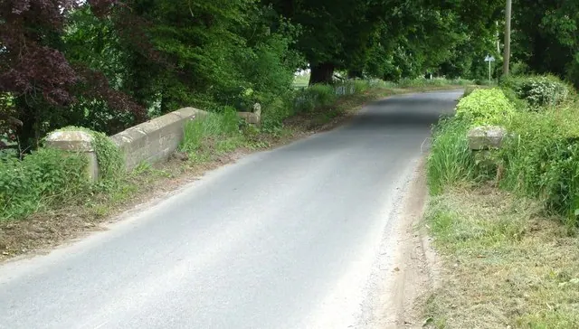
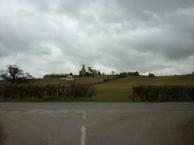
Heritage Around Langton
Photographs of churches, listed buildings and monuments in the vicinity, contributed by volunteers to the Geograph project and reused here under a Creative Commons licence.
© SMJ · Geograph · CC BY-SA 2.0
© Matthew Hatton · Geograph · CC BY-SA 2.0
© Ian S · Geograph · CC BY-SA 2.0
Images © their respective photographers, licensed under CC BY-SA 2.0 and reused here with attribution. Photographs depict listed buildings, churches and monuments near this settlement and may show neighbouring villages.
Data derived from the Open Domesday project (opendomesday.org), based on the Domesday Book dataset compiled by Professor J.J.N. Palmer and team. The Domesday Book (1086) is in the public domain.
Found an inaccuracy? [email protected]