Langthorpe in the Domesday Book (1086)
Langthorpe is named in the Domesday Book, compiled by Norman commissioners in 1086, entered under the hundred of Hallikeld in Yorkshire.
Other Settlements in Hallikeld
- Brampton [Hall]
- Caldeuuelle
- Cundall
- Dishforth
- Ellenthorpe [Hall]
- Givendale
- Hashundebi
- Holme
- Howgrave
- Hutton [Conyers]
- Kirby [Hill]
- Leckby [Palace]
- Markington
- Milby
The Meaning of the Name
The name Langthorpe is of Scandinavian origin. Its final element derives from the Old Norse word þorp, an outlying or secondary farmstead. The first element is most likely a personal name or an early descriptive term, now difficult to recover with certainty. Taken together the name probably meant something close to ‘a outlying farm’.
Names of this type are a fingerprint of Scandinavian settlement: they cluster across the old Danelaw, where Norse-speaking settlers renamed or founded villages from the late 9th century onward.
Remarkably, the name has changed little since 1086, when the Domesday scribes wrote it as Langthorpe.
Listed Buildings Near Langthorpe
Historic England records 29 listed buildings within about a mile of Langthorpe. Listing protects structures of special architectural or historic interest, graded I (exceptional), II* (particularly important) and II.
Grade II
- Langthorpe Villa - 0.38 km
- Maltings and Kilns of Warwick’s Anchor Brewery - 0.69 km
- Laundry Building (Tower Brewery of Warwick’s Anchor Brewery) - 0.75 km
- Anchor Marine Stores (Malting and Kiln of Warwick’s Anchor Brewery) - 0.79 km
- Milestone Approximately 10 Metres South of Blue Bell Public House - 0.89 km
- Pond House - 0.98 km
- Station House - 1.09 km
- Vicarage With Carriage House, Stable and Outbuildings in Attached Walled Yard - 1.11 km
- Post Office and Former Annexe to Three Greyhounds Hotel - 1.12 km
- Mynthurst - 1.13 km
- The Three Horse Shoes Public House - 1.13 km
- Borough Bridge - 1.13 km
- Chatsworth House - 1.14 km
- Greenwood Butchers Premises Homeleigh - 1.14 km
- Crown Hotel - 1.16 km
- Riverside Court - 1.16 km
- House and Cottage Belonging to Mrs Paul - 1.16 km
- C C Racing Rostlea Upholstery - 1.17 km
- K6 Telephone Kiosk by Crown Hotel - 1.2 km
- 3 Shops Owned by Binns and Boroughbridge Laundry - 1.26 km
- 47 and 49, High Street - 1.26 km
- The Cottage - 1.27 km
- Galen Cottage - 1.27 km
- Wall, Railings and Gateposts to South West of Boroughbridge Hall - 1.28 km
…and 5 more listed structures in the area.
Scheduled Monuments Near Langthorpe
Scheduled monuments are nationally important archaeological sites given legal protection. 2 lie within roughly a mile of Langthorpe:
- Site of Roman fort and settlement 400m north of Brickyard Farm - 0.83 km
- Stone alignment west of Boroughbridge known as the Devil’s Arrows, including three standing stones and the setting for a fourth - 1.1 km
Langthorpe Today
Today Langthorpe lies within the administrative area of Harrogate, and the settlement recorded a population of 839 at the 2021 census. Nine and a half centuries separate that figure from the small rural community the Domesday survey recorded here in 1086.
Read more about modern Langthorpe on Wikipedia .
Nearby Domesday Settlements
Other places recorded in the 1086 survey within a few miles:
- Kirby Hill - 1.4 km NE
- Milby - 2.0 km E
- Skelton - 2.0 km W
- Brampton Hall - 2.2 km SW
- Aldborough - 2.2 km SE
- Ellenthorpe Hall - 3.0 km E
Heritage Around [Lang]thorpe
Photographs of churches, listed buildings and monuments in the vicinity, contributed by volunteers to the Geograph project and reused here under a Creative Commons licence.
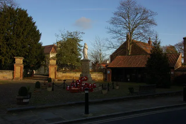
© Nick W · Geograph · CC BY-SA 2.0
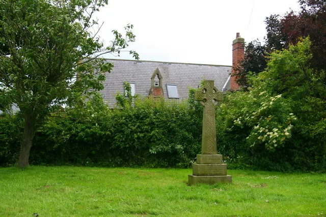
© David Rogers · Geograph · CC BY-SA 2.0
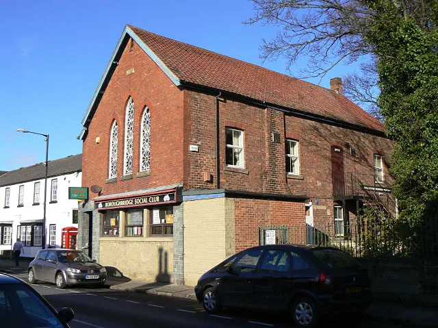
© Alan Murray-Rust · Geograph · CC BY-SA 2.0
Images © their respective photographers, licensed under CC BY-SA 2.0 and reused here with attribution. Photographs depict listed buildings, churches and monuments near this settlement and may show neighbouring villages.
Data derived from the Open Domesday project (opendomesday.org), based on the Domesday Book dataset compiled by Professor J.J.N. Palmer and team. The Domesday Book (1086) is in the public domain.
Found an inaccuracy? [email protected]