Langley in the Domesday Book (1086)
The 1086 Domesday survey records the settlement of Langley, entered under the hundred of Morleystone in Derbyshire. The survey assessed Langley at 2.2 carucates of taxable land.
At the time of the survey, Langley supported a recorded population of 6 smallholders, 1 slave, working 1 plough between them.
The survey puts Langley’s value at 1.5 shillings, the same as before the Conquest. Unchanged valuations are relatively rare in the North, where disruption was widespread.
Resources Recorded at Langley (1086)
- Mills: 1 mill (valued at 2d)
- Meadow: 20 acres
Other Settlements in Morleystone
- Bradley
- Breadsall
- Breaston
- Cellesdene
- Chaddesden
- Codnor
- Crich
- Denby
- Derby
- Draycott
- Duffield
- Hallam
- Heanor
- Herdebi
The Meaning of the Name
The name Langley is of Anglo-Saxon origin. Its final element derives from the Old English word lēah, a woodland clearing or glade. The first element is most likely a personal name or an early descriptive term, now difficult to recover with certainty. Taken together the name probably meant something close to ‘a clearing’.
Remarkably, the name has changed little since 1086, when the Domesday scribes wrote it as Langley.
Listed Buildings Near Langley
Historic England records 8 listed buildings within about a mile of Langley. Listing protects structures of special architectural or historic interest, graded I (exceptional), II* (particularly important) and II.
Grade II*
- Church of St Lawrence - 1.02 km
Grade II
- Butchers House - 0.41 km
- Church of St Andrew - 0.54 km
- 8 Market Place - 1.05 km
- Former Heanor Technical College (South East Derbyshire College) - 1.08 km
- Former Bank the Market Place - 1.13 km
- Registry Office - 1.15 km
- Donavon Monument to north of cemetery chapel at Marlpool Cemetery - 1.18 km
Langley Today
Today Langley lies within the administrative area of Aldercar and Langley Mill, and the settlement recorded a population of 5,805 at recent figures. Nine and a half centuries separate that figure from the small rural community the Domesday survey recorded here in 1086.
Read more about modern Langley Mill on Wikipedia .
Nearby Domesday Settlements
Other places recorded in the 1086 survey within a few miles:
- Heanor - 1.0 km W
- Shipley - 2.0 km S
- Smithycote - 2.2 km NW
- Kidsleypark - 3.2 km W
- Mapperley - 3.2 km S
- Codnor - 3.6 km NW
Heritage Around Langley
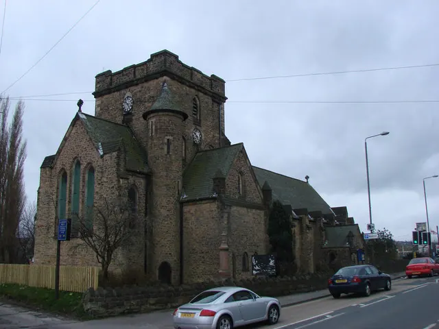
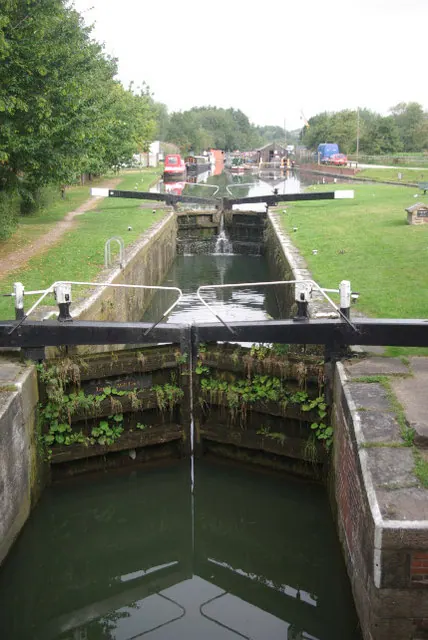
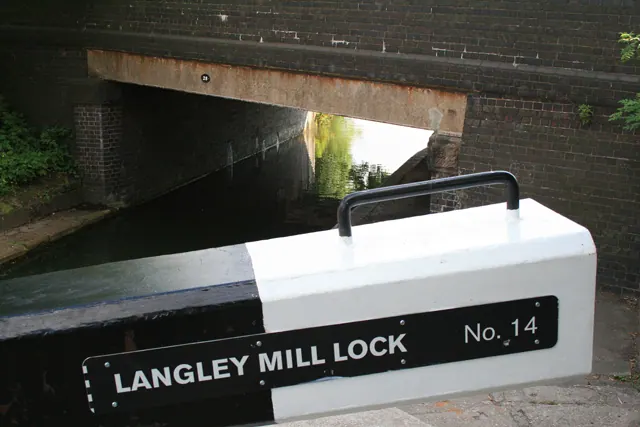
Photographs of churches, listed buildings and monuments in the vicinity, contributed by volunteers to the Geograph project and reused here under a Creative Commons licence.
© Bill Henderson · Geograph · CC BY-SA 2.0
© Stephen McKay · Geograph · CC BY-SA 2.0
© David Lally · Geograph · CC BY-SA 2.0
Images © their respective photographers, licensed under CC BY-SA 2.0 and reused here with attribution. Photographs depict listed buildings, churches and monuments near this settlement and may show neighbouring villages.
Data derived from the Open Domesday project (opendomesday.org), based on the Domesday Book dataset compiled by Professor J.J.N. Palmer and team. The Domesday Book (1086) is in the public domain.
Found an inaccuracy? [email protected]