Langcliffe in the Domesday Book (1086)
The 1086 Domesday survey records the settlement of Langcliffe, entered under the hundred of Craven in Yorkshire.
Other Settlements in Craven
- Addingham
- Airton
- Anley
- Appletreewick
- Arncliffe
- Arnford
- Barnoldswick
- Bashall [Eaves]
- Battersby [Barn]
- Beamsley
- Birkby [Hall]
- Bogeuurde
- Bolton [Abbey]
- Bolton [by Bowland]
The Meaning of the Name
The name Langcliffe is of Anglo-Saxon origin. Its final element derives from the Old English word clif, a cliff or steep slope. The first element is most likely a personal name or an early descriptive term, now difficult to recover with certainty. Taken together the name probably meant something close to ‘a slope’.
Remarkably, the name has changed little since 1086, when the Domesday scribes wrote it as Langcliffe.
Listed Buildings Near Langcliffe
Historic England records 78 listed buildings within about a mile of Langcliffe. Listing protects structures of special architectural or historic interest, graded I (exceptional), II* (particularly important) and II.
Grade II
- Church of St John the Evangelist - 0.62 km
- Barrel Sykes - 0.63 km
- Langcliffe Hall, Stables and Gatepiers - 0.65 km
- Cock House and Grisedale - 0.66 km
- K6 Telephone Kiosk, Langcliffe - 0.66 km
- Fountain Basin - 0.69 km
- Old Vicarage - 0.71 km
- Langcliffe Lodge, Garden Wall, Railings and Gatepier - 0.72 km
- Mount Pleasant Farmhouse - 0.73 km
- Manor Farm House and Manor Farm Cottage - 0.73 km
- Mount Pleasant House - 0.83 km
- Church of Holy Ascension - 0.88 km
- Numbers 1-4 and Brewhouse Cottage - 0.92 km
- Hillside - 0.92 km
- Lower Hillside - 0.93 km
- Jasmine Cottage - 0.95 km
- Fern Cottage - 0.96 km
- Dr Bucks House - 0.96 km
- Settle War Memorial - 0.96 km
- Eiliam - 0.97 km
- Former army drill hall, Castlebergh Hall - 0.97 km
- Rock House - 0.98 km
- Shambles - 0.99 km
- Fountain - 1.01 km
…and 54 more listed structures in the area.
Scheduled Monuments Near Langcliffe
Scheduled monuments are nationally important archaeological sites given legal protection. 3 lie within roughly a mile of Langcliffe:
- Victoria Cave, Langcliffe Scar - 1.35 km
- Giggleswick market cross - 1.46 km
- Jubilee Cave, Langcliffe Scar - 1.56 km
Langcliffe Today
Today Langcliffe lies within the administrative area of Craven, and the settlement recorded a population of 344 at the 2021 census. Nine and a half centuries separate that figure from the small rural community the Domesday survey recorded here in 1086.
Read more about modern Langcliffe on Wikipedia .
Nearby Domesday Settlements
Other places recorded in the 1086 survey within a few miles:
- Giggleswick - 1.0 km W
- Stackhouse - 1.4 km NW
- Settle - 1.4 km SW
- Stainforth - 3.0 km N
- Anley - 3.2 km S
- Rathmell - 5.4 km S
Heritage Around Langcliffe
Photographs of churches, listed buildings and monuments in the vicinity, contributed by volunteers to the Geograph project and reused here under a Creative Commons licence.
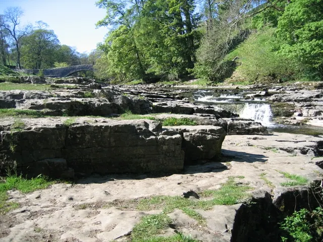
© John S Turner · Geograph · CC BY-SA 2.0
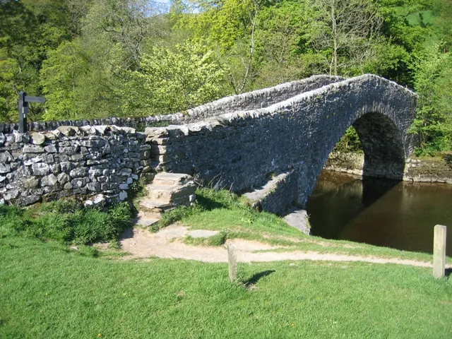
© John S Turner · Geograph · CC BY-SA 2.0
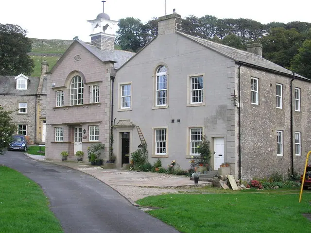
© John Illingworth · Geograph · CC BY-SA 2.0
Images © their respective photographers, licensed under CC BY-SA 2.0 and reused here with attribution. Photographs depict listed buildings, churches and monuments near this settlement and may show neighbouring villages.
Data derived from the Open Domesday project (opendomesday.org), based on the Domesday Book dataset compiled by Professor J.J.N. Palmer and team. The Domesday Book (1086) is in the public domain.
Found an inaccuracy? [email protected]