Lach Dennis in the Domesday Book (1086)
The settlement of Lach Dennis is recorded in William I’s Domesday survey of 1086, entered under the hundred of Middlewich in Cheshire. The survey assessed Lach Dennis at 7 carucates of taxable land.
At the time of the survey, Lach Dennis supported a recorded population of 11 villagers, 2 smallholders, 3 freemanmen, working 8 ploughs between them.
The valuation dropped between 1066 and 1086. Before 1066, Lach Dennis was worth 4 shillings; by 1086 that had dropped to 2.06 shillings – a fall of 48%. Most Yorkshire villages that lost value on this scale were swept up in the Harrying of the North – William’s scorched-earth campaign of 1069–70.
Resources Recorded at Lach Dennis (1086)
- Mills: 1 mill (valued at 1d)
- Churches: 1
- Meadow: 35 acres
- Woodland: 2 leagues * 3 furlongs mixed measures
Other Settlements in Middlewich
- Alsager
- Bostock
- Brereton
- Byley
- Clive
- Congleton
- Croxton
- Davenham
- Davenport
- Goostrey
- Hassall
- Kinderton
- Leftwich
- Middlewich
The Meaning of the Name
The origin of the name Lach Dennis is not securely established from its modern form alone; like many settlement names in the North it likely combines an Old English or Old Norse personal name with a landscape term.
Remarkably, the name has changed little since 1086, when the Domesday scribes wrote it as Lach Dennis.
Listed Buildings Near Lach Dennis
Historic England records 4 listed buildings within about a mile of Lach Dennis. Listing protects structures of special architectural or historic interest, graded I (exceptional), II* (particularly important) and II.
Grade II
- Marsh Farmhouse - 0.54 km
- Newhall Farm House - 0.59 km
- Barn East of Yew Tree Farm House - 0.6 km
- Yew Tree Farm House - 0.6 km
Scheduled Monuments Near Lach Dennis
Scheduled monuments are nationally important archaeological sites given legal protection. 1 lies within roughly a mile of Lach Dennis:
Lach Dennis Today
Today Lach Dennis lies within the administrative area of Lach Dennis and Lostock Green, and the settlement recorded a population of 232 at recent figures. Nine and a half centuries separate that figure from the small rural community the Domesday survey recorded here in 1086.
Read more about modern Lach Dennis on Wikipedia .
Nearby Domesday Settlements
Other places recorded in the 1086 survey within a few miles:
Heritage Around Lach [Dennis]
Photographs of churches, listed buildings and monuments in the vicinity, contributed by volunteers to the Geograph project and reused here under a Creative Commons licence.
© Dr Duncan Pepper · Geograph · CC BY-SA 2.0
© Peter Whatley · Geograph · CC BY-SA 2.0
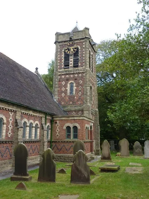
© Alexander P Kapp · Geograph · CC BY-SA 2.0
Images © their respective photographers, licensed under CC BY-SA 2.0 and reused here with attribution. Photographs depict listed buildings, churches and monuments near this settlement and may show neighbouring villages.
Data derived from the Open Domesday project (opendomesday.org), based on the Domesday Book dataset compiled by Professor J.J.N. Palmer and team. The Domesday Book (1086) is in the public domain.
Found an inaccuracy? [email protected]