Knutsford in the Domesday Book (1086)
Knutsford is named in the Domesday Book, compiled by Norman commissioners in 1086, entered under the hundred of Tunendune in Cheshire.
Other Settlements in Tunendune
- Alretunstall
- Antrobus
- Baguley
- Bowdon
- Chapmonswiche
- Cogshall
- Dutton
- Hale
- Halton
- Mere
- Middle Aston
- Millington
- Rostherne
- Sinderland
The Meaning of the Name
The name Knutsford is of Anglo-Saxon origin. Its final element derives from the Old English word ford, a river crossing. The first element is most likely a personal name or an early descriptive term, now difficult to recover with certainty. Taken together the name probably meant something close to ‘a ford’.
Remarkably, the name has changed little since 1086, when the Domesday scribes wrote it as Knutsford.
Listed Buildings Near Knutsford
Historic England records 113 listed buildings within about a mile of Knutsford. Listing protects structures of special architectural or historic interest, graded I (exceptional), II* (particularly important) and II.
Grade I
- Brook Street Unitarian Chapel - 0.2 km
Grade II*
- Church of St Cross - 0.1 km
- Church of St John the Baptist - 0.35 km
Grade II
- Over Knutsford War Memorial - 0.11 km
- Knutsford Library - 0.14 km
- 3 and 5, Brook Lane - 0.22 km
- 2 and 4, King Street - 0.22 km
- 6, King Street - 0.23 km
- 15, King Street - 0.23 km
- 8-14, King Street - 0.24 km
- Numbers 16, 18 and 20 and Attached Step Handrails - 0.24 km
- 17 and 19, King Street - 0.24 km
- 21 and 23, King Street - 0.25 km
- 22, King Street - 0.25 km
- 24, King Street - 0.25 km
- 31 and 33, King Street - 0.27 km
- 34 and 36, King Street - 0.27 km
- 38, 40 and 42, King Street - 0.28 km
- 43 and 45, King Street - 0.32 km
- 46, King Street - 0.35 km
- 57, 59 and 61, King Street - 0.35 km
- 1 and 2, Church Hill - 0.36 km
- 48, King Street - 0.36 km
- 50, King Street - 0.37 km
…and 89 more listed structures in the area.
Scheduled Monuments Near Knutsford
Scheduled monuments are nationally important archaeological sites given legal protection. 2 lie within roughly a mile of Knutsford:
- Site of St John’s Church and surrounding burial ground, 400m NW of Booths Mere - 1.02 km
- Norbury Booths Hall moated site, fishponds and connecting channels. - 1.48 km
Knutsford Today
Today Knutsford lies within the administrative area of Cheshire East, and the settlement recorded a population of 13,259 at the 2021 census. Nine and a half centuries separate that figure from the small rural community the Domesday survey recorded here in 1086.
Read more about modern Knutsford on Wikipedia .
Nearby Domesday Settlements
Other places recorded in the 1086 survey within a few miles:
- Ollerton - 2.8 km SE
- Nether Tabley - 3.0 km W
- Tatton - 3.2 km N
- Over Tabley - 3.6 km NW
- Mobberley - 3.6 km NE
- Nether and Over Peover - 4.1 km S
Heritage Around Knutsford
Photographs of churches, listed buildings and monuments in the vicinity, contributed by volunteers to the Geograph project and reused here under a Creative Commons licence.
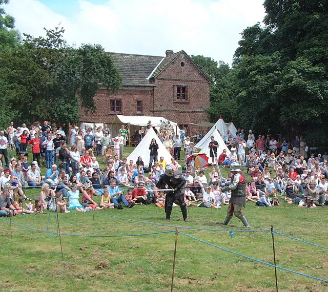
© Gary Rogers · Geograph · CC BY-SA 2.0
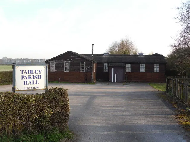
© Iain Lees · Geograph · CC BY-SA 2.0
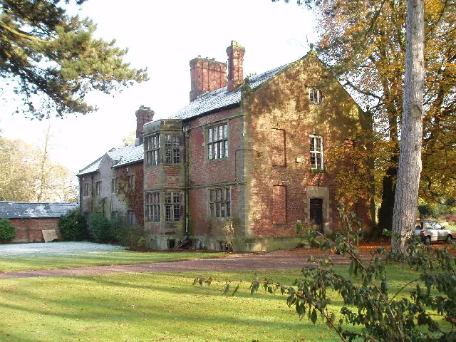
© Ian Warburton · Geograph · CC BY-SA 2.0
Images © their respective photographers, licensed under CC BY-SA 2.0 and reused here with attribution. Photographs depict listed buildings, churches and monuments near this settlement and may show neighbouring villages.
Data derived from the Open Domesday project (opendomesday.org), based on the Domesday Book dataset compiled by Professor J.J.N. Palmer and team. The Domesday Book (1086) is in the public domain.
Found an inaccuracy? [email protected]