Kneeton Hall in the Domesday Book (1086)
The settlement of Kneeton Hall is recorded in William I’s Domesday survey of 1086, entered under the hundred of Land of Count Alan in Yorkshire.
Other Settlements in Land of Count Alan
- Achebi
- Agglethorpe
- Ainderby [Mires]
- Ainderby [Quernhow]
- Aiskew
- Aldbrough
- Allerthorpe [Hall]
- Ascam
- Ascham
- Asebi
- Aske [Hall]
- Askrigg
- Aysgarth
- Baldersby
The Meaning of the Name
The name Kneeton Hall is of Anglo-Saxon origin. Its final element derives from the Old English word tūn, a farmstead or village. The first element is most likely a personal name or an early descriptive term, now difficult to recover with certainty. Taken together the name probably meant something close to ‘a farmstead’.
Remarkably, the name has changed little since 1086, when the Domesday scribes wrote it as Kneeton Hall.
Listed Buildings Near Kneeton Hall
Historic England records 23 listed buildings within about a mile of Kneeton Hall. Listing protects structures of special architectural or historic interest, graded I (exceptional), II* (particularly important) and II.
Grade II*
- Middleton Lodge - 0.82 km
Grade II
- Kneeton Hall and Attached Outbuilding to North - 0.46 km
- Entrance Gateway to Middleton Lodge - 0.52 km
- Limekilns at 21220696 - 0.61 km
- Kitchen Garden Walls Approximately 220 Metres to West of Middleton Lodge - 0.66 km
- Gateway at Ha-ha on South Drive to Middleton Lodge - 0.69 km
- Stable block of Middleton Lodge - 0.74 km
- Violet Grange - 0.79 km
- North Gateway to Middleton Lodge - 1.02 km
- Village Farmhouse - 1.2 km
- Appletree Cottage, Arch Cottage, Archway Cottage, the Neuk - 1.23 km
- The Hill - 1.23 km
- Forge Cottage - 1.24 km
- Middleton House and Cottage Adjoining to West - 1.25 km
- Inglenook House and the Cottage - 1.25 km
- Galsworthy House and Attached Outbuilding - 1.26 km
- Longfield Farmhouse - 1.26 km
- Garden Walls to North of East Hall - 1.26 km
- Sundial Cottage and Rose Cottage - 1.27 km
- Galsworthy Cottage - 1.27 km
- Orchard House - 1.28 km
- Coach House Approximately 25 Metres South West of East Hall - 1.28 km
- Brewery Approximately 8 Metres North of East Hall - 1.29 km
Scheduled Monuments Near Kneeton Hall
Scheduled monuments are nationally important archaeological sites given legal protection. 1 lies within roughly a mile of Kneeton Hall:
- Five Hills round barrow - 1.33 km
Nearby Domesday Settlements
Other places recorded in the 1086 survey within a few miles:
- Middleton Tyas - 1.4 km SE
- Barton - 2.8 km NE
- Melsonby - 2.8 km NW
- Gilling - 3.2 km W
- Didderston Grange - 3.2 km W
- Newton Morrell - 3.6 km NE
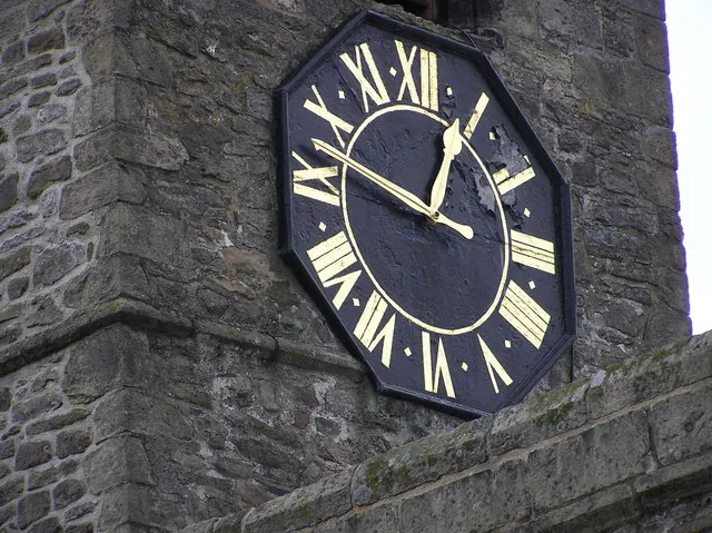
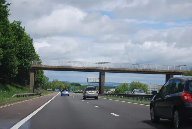
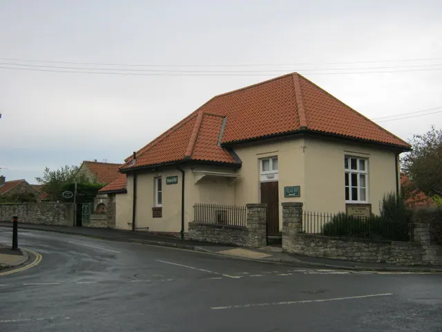
Heritage Around Kneeton [Hall]
Photographs of churches, listed buildings and monuments in the vicinity, contributed by volunteers to the Geograph project and reused here under a Creative Commons licence.
© Hugh Mortimer · Geograph · CC BY-SA 2.0
© N Chadwick · Geograph · CC BY-SA 2.0
© peter robinson · Geograph · CC BY-SA 2.0
Images © their respective photographers, licensed under CC BY-SA 2.0 and reused here with attribution. Photographs depict listed buildings, churches and monuments near this settlement and may show neighbouring villages.
Location
54.4533°N, -1.6684°W · Land of Count Alan hundred, Yorkshire
View larger map on OpenStreetMap →Data derived from the Open Domesday project (opendomesday.org), based on the Domesday Book dataset compiled by Professor J.J.N. Palmer and team. The Domesday Book (1086) is in the public domain.
Found an inaccuracy? [email protected]